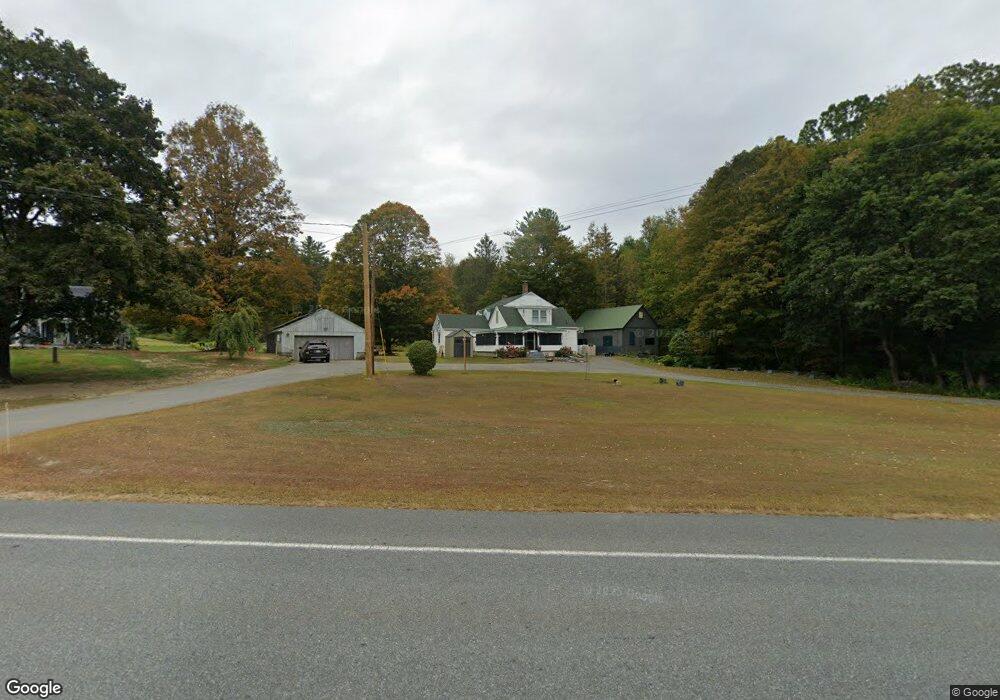
1891 Route 2 Shelburne Falls, MA 01370
Estimated Value: $295,000 - $410,000
5
Beds
2
Baths
1,954
Sq Ft
$167/Sq Ft
Est. Value
About This Home
This home is located at 1891 Route 2, Shelburne Falls, MA 01370 and is currently estimated at $325,957, approximately $166 per square foot. 1891 Route 2 is a home located in Franklin County with nearby schools including Mohawk Trail Regional High School and The Academy At Charlemont.
Ownership History
Date
Name
Owned For
Owner Type
Purchase Details
Closed on
May 23, 2011
Sold by
Tetreault Richard J
Bought by
Tetreault Marcia J and Tetreault Richard J
Current Estimated Value
Home Financials for this Owner
Home Financials are based on the most recent Mortgage that was taken out on this home.
Original Mortgage
$30,000
Outstanding Balance
$20,775
Interest Rate
4.88%
Mortgage Type
Purchase Money Mortgage
Estimated Equity
$305,182
Purchase Details
Closed on
Apr 21, 2009
Sold by
Tetreault Irene R
Bought by
Tetreault Richard J
Create a Home Valuation Report for This Property
The Home Valuation Report is an in-depth analysis detailing your home's value as well as a comparison with similar homes in the area
Home Values in the Area
Average Home Value in this Area
Purchase History
| Date | Buyer | Sale Price | Title Company |
|---|---|---|---|
| Tetreault Marcia J | -- | -- | |
| Tetreault Marcia J | -- | -- | |
| Tetreault Richard J | -- | -- | |
| Tetreault Richard J | -- | -- |
Source: Public Records
Mortgage History
| Date | Status | Borrower | Loan Amount |
|---|---|---|---|
| Open | Tetreault Richard J | $30,000 | |
| Closed | Tetreault Richard J | $30,000 |
Source: Public Records
Tax History Compared to Growth
Tax History
| Year | Tax Paid | Tax Assessment Tax Assessment Total Assessment is a certain percentage of the fair market value that is determined by local assessors to be the total taxable value of land and additions on the property. | Land | Improvement |
|---|---|---|---|---|
| 2025 | $3,794 | $207,300 | $30,900 | $176,400 |
| 2024 | $3,991 | $192,800 | $28,200 | $164,600 |
| 2023 | $3,767 | $182,600 | $27,000 | $155,600 |
| 2022 | $3,727 | $179,800 | $27,000 | $152,800 |
| 2021 | $3,658 | $178,600 | $25,800 | $152,800 |
| 2020 | $3,184 | $163,200 | $25,800 | $137,400 |
| 2019 | $3,220 | $163,200 | $25,800 | $137,400 |
| 2018 | $3,333 | $163,200 | $25,800 | $137,400 |
| 2017 | $3,297 | $163,200 | $25,800 | $137,400 |
| 2016 | $3,016 | $153,900 | $25,800 | $128,100 |
| 2015 | $2,752 | $153,900 | $25,800 | $128,100 |
Source: Public Records
Map
Nearby Homes
- 31 W Oxbow Rd
- 24 W Oxbow Rd
- 0 W Oxbow Rd Unit 73453651
- 2155 Massachusetts 2
- 2151 Route 2
- 156 Ashfield Rd
- 7 Hog Hollow Rd
- 33 Williams St
- 143 Charlemont Rd
- 10 Deerfield Ave Unit 5
- 10 Deerfield Ave Unit 2
- 0 Upper St
- 105 - 107 Bridge St
- 102 Elm St
- 32 Navaho Ln
- 139 Taylor Brook Rd
- 14 South Rd
- 0 Ashfield Rd
- 6 Chippewa Dr
- 3+5 Church St
- 1903 Mohawk Trail
- 1903 Route 2
- 1921 Route 2
- 1859 Route 2
- 1820 Route 2
- 1927 Route 2
- 1945 Route 2
- 19 Depot Rd
- 1 W Oxbow Rd
- 7 Hawk Hill Rd
- 26 Depot Rd
- 0 Hawk Hill Rd Unit 71929203
- 0 Hawk Hill Rd Unit 72894242
- 0 Nelson Purinton Rd Unit 30071042
- 49 Hawk Hill Rd
- 7 Hawk Hill Rd
- 0 Hawk Hill Unit 14121198
- 33 Purinton Rd
- 47 Purinton Rd
- 100 W Oxbow Rd