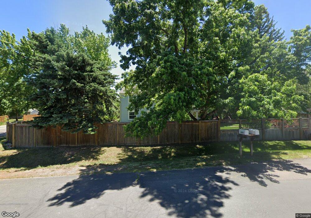
1892 Orchard Ave Boulder, CO 80304
North Boulder NeighborhoodEstimated Value: $1,469,997 - $1,693,000
3
Beds
3
Baths
2,059
Sq Ft
$768/Sq Ft
Est. Value
About This Home
This home is located at 1892 Orchard Ave, Boulder, CO 80304 and is currently estimated at $1,580,499, approximately $767 per square foot. 1892 Orchard Ave is a home located in Boulder County with nearby schools including Crest View Elementary School, Centennial Middle School, and Boulder High School.
Ownership History
Date
Name
Owned For
Owner Type
Purchase Details
Closed on
Mar 9, 2007
Sold by
Conroy Michael D and Conroy Paula W
Bought by
Dawson Hollis James A
Current Estimated Value
Home Financials for this Owner
Home Financials are based on the most recent Mortgage that was taken out on this home.
Original Mortgage
$459,200
Outstanding Balance
$277,795
Interest Rate
6.25%
Mortgage Type
Purchase Money Mortgage
Estimated Equity
$1,302,704
Purchase Details
Closed on
Jul 7, 2000
Sold by
Int Tucker Dorothy S and Int Charles B 76
Bought by
Conroy Michael D
Home Financials for this Owner
Home Financials are based on the most recent Mortgage that was taken out on this home.
Original Mortgage
$380,000
Interest Rate
8%
Purchase Details
Closed on
Mar 31, 2000
Sold by
Mountain Sheep Development Co
Bought by
Tucker Dorothy S
Purchase Details
Closed on
Feb 18, 2000
Sold by
Mountain Sheep Development Co
Bought by
Tucker Dorothy S and Tucker Charles B
Purchase Details
Closed on
Sep 9, 1999
Sold by
Atherton V G V and Atherton Wilma E
Bought by
Mountain Sheep Development Co
Home Financials for this Owner
Home Financials are based on the most recent Mortgage that was taken out on this home.
Original Mortgage
$320,000
Interest Rate
7%
Mortgage Type
Stand Alone Second
Create a Home Valuation Report for This Property
The Home Valuation Report is an in-depth analysis detailing your home's value as well as a comparison with similar homes in the area
Home Values in the Area
Average Home Value in this Area
Purchase History
| Date | Buyer | Sale Price | Title Company |
|---|---|---|---|
| Dawson Hollis James A | $574,000 | First Colorado Title | |
| Conroy Michael D | $476,600 | Land Title | |
| Tucker Dorothy S | $131,300 | -- | |
| Tucker Dorothy S | $245,000 | -- | |
| Mountain Sheep Development Co | $320,000 | Land Title |
Source: Public Records
Mortgage History
| Date | Status | Borrower | Loan Amount |
|---|---|---|---|
| Open | Dawson Hollis James A | $459,200 | |
| Previous Owner | Conroy Michael D | $380,000 | |
| Previous Owner | Mountain Sheep Development Co | $320,000 |
Source: Public Records
Tax History Compared to Growth
Tax History
| Year | Tax Paid | Tax Assessment Tax Assessment Total Assessment is a certain percentage of the fair market value that is determined by local assessors to be the total taxable value of land and additions on the property. | Land | Improvement |
|---|---|---|---|---|
| 2025 | $9,330 | $97,731 | $61,600 | $36,131 |
| 2024 | $9,330 | $97,731 | $61,600 | $36,131 |
| 2023 | $9,166 | $105,270 | $63,650 | $45,305 |
| 2022 | $7,802 | $83,206 | $51,618 | $31,588 |
| 2021 | $7,443 | $85,600 | $53,103 | $32,497 |
| 2020 | $5,891 | $67,682 | $46,690 | $20,992 |
| 2019 | $5,801 | $67,682 | $46,690 | $20,992 |
| 2018 | $5,741 | $66,211 | $36,000 | $30,211 |
| 2017 | $5,561 | $73,200 | $39,800 | $33,400 |
| 2016 | $5,247 | $60,616 | $33,512 | $27,104 |
| 2015 | $4,969 | $49,702 | $20,616 | $29,086 |
| 2014 | $4,179 | $49,702 | $20,616 | $29,086 |
Source: Public Records
Map
Nearby Homes
- 1652 Poplar Ave
- 1801 Redwood Ave
- 1505 Oak Ave
- 3875 Cloverleaf Dr Unit A
- 3633 21st St
- 1580 Redwood Ave
- 1800 Sumac Ave
- 3621 21st St
- 3600 Cloverleaf Dr
- 1560 Sumac Ave
- 3895 Norwood Ct
- 1440 Moss Rock Place
- 2158 Tamarack Ave
- 3850 Broadway St Unit 24
- 1285 Meadow Place
- 2512 Premier Place
- 3830 Broadway St Unit 32
- 2528 Pampas Ct
- 1245 Norwood Ave Unit 42
- 2525 Meadow Ave
