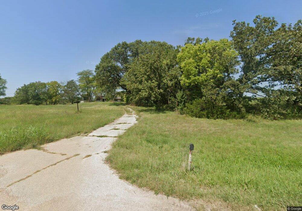
18920 Linwood Rd Linwood, KS 66052
Estimated Value: $336,000 - $462,000
3
Beds
2
Baths
1,152
Sq Ft
$342/Sq Ft
Est. Value
About This Home
This home is located at 18920 Linwood Rd, Linwood, KS 66052 and is currently estimated at $393,505, approximately $341 per square foot. 18920 Linwood Rd is a home located in Leavenworth County with nearby schools including Linwood Elementary School, Basehor-Linwood Middle School, and Basehor-Linwood High School.
Ownership History
Date
Name
Owned For
Owner Type
Purchase Details
Closed on
Jun 30, 2014
Sold by
Doris Spears
Bought by
Clarke Joseph Brant and Gwenaelle Laetitia
Current Estimated Value
Home Financials for this Owner
Home Financials are based on the most recent Mortgage that was taken out on this home.
Original Mortgage
$108,750
Outstanding Balance
$83,052
Interest Rate
4.23%
Mortgage Type
New Conventional
Estimated Equity
$310,453
Create a Home Valuation Report for This Property
The Home Valuation Report is an in-depth analysis detailing your home's value as well as a comparison with similar homes in the area
Home Values in the Area
Average Home Value in this Area
Purchase History
| Date | Buyer | Sale Price | Title Company |
|---|---|---|---|
| Clarke Joseph Brant | $135,938 | Capital Title Ins Co Lc |
Source: Public Records
Mortgage History
| Date | Status | Borrower | Loan Amount |
|---|---|---|---|
| Open | Clarke Joseph Brant | $108,750 |
Source: Public Records
Tax History Compared to Growth
Tax History
| Year | Tax Paid | Tax Assessment Tax Assessment Total Assessment is a certain percentage of the fair market value that is determined by local assessors to be the total taxable value of land and additions on the property. | Land | Improvement |
|---|---|---|---|---|
| 2025 | $3,895 | $36,218 | $20,264 | $15,954 |
| 2024 | $3,611 | $34,825 | $18,079 | $16,746 |
| 2023 | $3,611 | $33,811 | $16,812 | $16,999 |
| 2022 | $3,193 | $28,709 | $13,486 | $15,223 |
| 2021 | $2,766 | $24,897 | $11,761 | $13,136 |
| 2020 | $2,736 | $24,077 | $11,038 | $13,039 |
| 2019 | $2,579 | $22,575 | $10,463 | $12,112 |
| 2018 | $2,337 | $20,482 | $9,313 | $11,169 |
| 2017 | $2,129 | $18,660 | $8,760 | $9,900 |
| 2016 | $2,025 | $17,712 | $8,680 | $9,032 |
| 2015 | -- | $16,676 | $8,430 | $8,246 |
| 2014 | -- | $18,153 | $8,430 | $9,723 |
Source: Public Records
Map
Nearby Homes
- 00000 174th St
- 13348 185th St
- 13519 185th St
- Tract 4 Golden Rd
- 207 Bowen St
- 18494 Linwood Rd
- Parcel 5A SE Stanley Rd
- Parcel 3A SE Stanley Rd
- Parcel 4A SE Stanley Rd
- 0 Cantrell Rd
- 0 5 Street Ct
- 0 Golden Rd Unit HMS2559950
- 0 Golden Rd Unit 23524027
- 6.20 Acres 182nd St
- 18261 Linwood Rd
- 00000 Cantrell Rd
- Lot 5 206th St
- 17580 Cantrell Rd
- 0 174th St
- 00000 Lot 9 South 206th St
- 18920 Linwood Rd
- 18968 Linwood Rd
- 12925 189th St
- 18972 Linwood Rd
- 0 Lot 7 189 St Unit 1450705
- Lot 9 189th St
- 0 Lot 7 189th St Unit 1637679
- 12815 189th St
- 12924 189th St
- Lot 6 206th St
- 0000 Golden Rd
- Land Hwy 32
- Lots 5 & 6 206th St
- Land 238
- 69 Acres 198th St
- 99999 Linwood Rd Hwy
- Lt 2 5th St Ct
- Lot2 174th St
- Lt 4 5th St Ct
- Lt 3 5th St Ct
