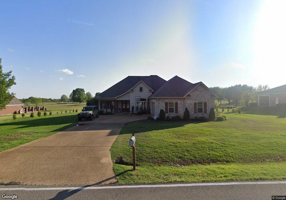
1893 Taylor Thurston Rd Columbus, MS 39701
Estimated Value: $335,601 - $448,000
--
Bed
--
Bath
2,601
Sq Ft
$150/Sq Ft
Est. Value
About This Home
This home is located at 1893 Taylor Thurston Rd, Columbus, MS 39701 and is currently estimated at $391,150, approximately $150 per square foot. 1893 Taylor Thurston Rd is a home.
Ownership History
Date
Name
Owned For
Owner Type
Purchase Details
Closed on
Jan 20, 2017
Sold by
Mcnally Jacob K and Mcnally Grace
Bought by
Mcgee James Marc and Mcgee Heather Michelle
Current Estimated Value
Home Financials for this Owner
Home Financials are based on the most recent Mortgage that was taken out on this home.
Original Mortgage
$189,000
Outstanding Balance
$90,968
Interest Rate
3.52%
Mortgage Type
New Conventional
Estimated Equity
$300,182
Purchase Details
Closed on
Apr 15, 2016
Sold by
Mcgill Jacob
Bought by
Mcnally Jacob K and Mcnally Grace
Home Financials for this Owner
Home Financials are based on the most recent Mortgage that was taken out on this home.
Original Mortgage
$245,741
Interest Rate
3.73%
Mortgage Type
FHA
Purchase Details
Closed on
Jul 3, 2013
Sold by
Neal Artis H
Bought by
Mcgill Jacob
Purchase Details
Closed on
Aug 16, 2006
Sold by
Ross Charles and Ross Elizabeth
Bought by
Neal Artis H and Neal Peggie D
Create a Home Valuation Report for This Property
The Home Valuation Report is an in-depth analysis detailing your home's value as well as a comparison with similar homes in the area
Home Values in the Area
Average Home Value in this Area
Purchase History
| Date | Buyer | Sale Price | Title Company |
|---|---|---|---|
| Mcgee James Marc | -- | None Available | |
| Mcnally Jacob K | -- | None Available | |
| Mcgill Jacob | -- | -- | |
| Neal Artis H | -- | -- |
Source: Public Records
Mortgage History
| Date | Status | Borrower | Loan Amount |
|---|---|---|---|
| Open | Mcgee James Marc | $189,000 | |
| Previous Owner | Mcnally Jacob K | $245,741 |
Source: Public Records
Tax History Compared to Growth
Tax History
| Year | Tax Paid | Tax Assessment Tax Assessment Total Assessment is a certain percentage of the fair market value that is determined by local assessors to be the total taxable value of land and additions on the property. | Land | Improvement |
|---|---|---|---|---|
| 2025 | $2,073 | $24,670 | $0 | $0 |
| 2024 | $2,053 | $24,670 | $0 | $0 |
| 2023 | $1,734 | $21,410 | $0 | $0 |
| 2022 | $1,735 | $21,410 | $0 | $0 |
| 2021 | $1,659 | $21,410 | $0 | $0 |
| 2020 | $1,549 | $21,410 | $0 | $0 |
| 2019 | $1,620 | $21,156 | $0 | $0 |
| 2018 | $1,620 | $21,559 | $0 | $0 |
| 2017 | $0 | $32,339 | $0 | $0 |
| 2016 | $1,534 | $21,559 | $0 | $0 |
| 2015 | -- | $21,428 | $0 | $0 |
| 2014 | -- | $3,750 | $0 | $0 |
Source: Public Records
Map
Nearby Homes
- 49 Billy Casper Dr
- 1291 S Frontage Rd
- 23 Breezeway Cove
- 28 Breezeway Cove
- 100 Breezeway Cove
- 112 Breezeway Cove
- 96 Breezeway Cove
- 110 Breezeway Cove
- 0 Golden Horn Rd
- 0 S Frontage Road Lot #5 Unit 25-583
- 0 S Frontage Road Lot #3 Unit 25-581
- 0 S Frontage Road Lot #1 Unit 25-579
- 3267 Old West Point Rd
- 1381 S Frontage Rd
- 2 S Frontage Rd
- 4 S Frontage Rd
- 0 Hwy 45 N Unit 25-1761
- 5 Clisby Rd
- 13 Clisby Rd
- 12 Clisby Rd
- 1925 Taylor Thurston Rd
- 1865 Taylor Thurston Rd
- 1882 Taylor Thurston Rd
- 1837 Taylor Thurston Rd
- 1979 Taylor Thurston Rd
- 1824 Taylor Thurston Rd
- 1801 Taylor Thurston Rd
- 1991 Taylor Thurston Rd
- 1790 Taylor Thurston Rd
- 1968 Taylor Thurston Rd
- 1781 Taylor Thurston Rd
- 2035 Taylor Thurston Rd
- 142 Elm Dr
- 1750 Taylor Thurston Rd
- 159 Elm Dr
- 1751 Taylor Thurston Rd
- 2045 Taylor Thurston Rd
- 104 Elm Cove
- 133 Elm Cove
- 183 Elm Dr