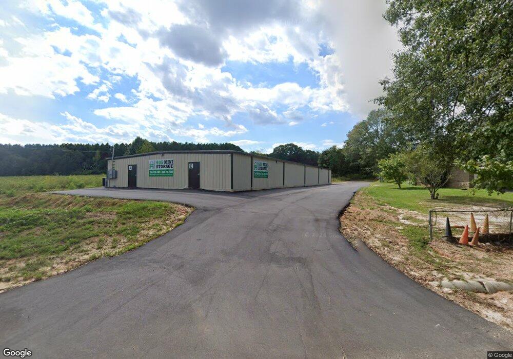
1894 S State Highway 605 Taylor, AL 36301
Estimated Value: $355,000
--
Bed
1
Bath
6,500
Sq Ft
$55/Sq Ft
Est. Value
About This Home
This home is located at 1894 S State Highway 605, Taylor, AL 36301 and is currently priced at $355,000, approximately $54 per square foot. 1894 S State Highway 605 is a home located in Houston County with nearby schools including Rehobeth Elementary School, Rehobeth Middle School, and Rehobeth High School.
Ownership History
Date
Name
Owned For
Owner Type
Purchase Details
Closed on
Dec 12, 2024
Sold by
Mermac Properties Llc
Bought by
Rc Industrial Llc
Current Estimated Value
Home Financials for this Owner
Home Financials are based on the most recent Mortgage that was taken out on this home.
Original Mortgage
$350,742
Outstanding Balance
$281,391
Interest Rate
0.57%
Mortgage Type
Construction
Purchase Details
Closed on
Oct 29, 2019
Sold by
Smith Anthony Ray
Bought by
Datt Enterprises Llc
Purchase Details
Closed on
Nov 13, 2015
Sold by
Fourth Quarter Investments Llc
Bought by
Smith Anthony Ray
Purchase Details
Closed on
Aug 23, 2015
Sold by
First National Bank Of Hartford A Corpor
Bought by
Fourth Quarter Investments Llc
Create a Home Valuation Report for This Property
The Home Valuation Report is an in-depth analysis detailing your home's value as well as a comparison with similar homes in the area
Home Values in the Area
Average Home Value in this Area
Purchase History
| Date | Buyer | Sale Price | Title Company |
|---|---|---|---|
| Rc Industrial Llc | $350,000 | Title Order Nbr Only | |
| Datt Enterprises Llc | -- | None Available | |
| Smith Anthony Ray | $5,000 | -- | |
| Fourth Quarter Investments Llc | $6,000 | -- |
Source: Public Records
Mortgage History
| Date | Status | Borrower | Loan Amount |
|---|---|---|---|
| Open | Rc Industrial Llc | $350,742 |
Source: Public Records
Tax History Compared to Growth
Tax History
| Year | Tax Paid | Tax Assessment Tax Assessment Total Assessment is a certain percentage of the fair market value that is determined by local assessors to be the total taxable value of land and additions on the property. | Land | Improvement |
|---|---|---|---|---|
| 2024 | $2,380 | $2,720 | $0 | $0 |
| 2023 | $98 | $1,060 | $0 | $0 |
| 2022 | $35 | $1,000 | $0 | $0 |
| 2021 | $35 | $1,000 | $0 | $0 |
| 2020 | $35 | $1,000 | $0 | $0 |
| 2019 | $35 | $1,000 | $0 | $0 |
| 2018 | $35 | $1,000 | $0 | $0 |
| 2017 | $35 | $1,000 | $0 | $0 |
| 2016 | $35 | $0 | $0 | $0 |
| 2015 | $204 | $0 | $0 | $0 |
| 2014 | $204 | $0 | $0 | $0 |
Source: Public Records
Map
Nearby Homes
- 0 W Cook Rd W Unit 185783
- 0 W Cook Rd W Unit 202893
- 619 Littlefield Rd
- 656 Paulk Rd
- 0 State Highway 605
- (Land ONLY) Cook Road (Land 4 Acres)
- 112 Branton Rd
- 000 36 Acres Rice Rd
- 180 Branton Rd
- 518 Berlin Rd
- 901 Landview Dr
- 315 Branton Rd
- 307 Caladium Rd
- 205 Petunia Dr
- 105 Periwinkle Ct
- 215 Landview Dr
- 0 Fuller Rd
- 103 Cronan Ct
- 1544 W County Road 70
- 5924 Henry Mouring Rd
- 1870 S County Road 59
- 1852 S State Highway 605
- 1852 S County Road 59
- 1885 S County Road 59
- 1865 S County Road 59
- 1931 S State Highway 605
- 1911 S State Highway 605
- 1893 S State Highway 605
- 1827 S County Road 59
- 1827 S State Highway 605
- 1827 S State Highway 605
- 1812 S State Highway 605
- 1812 S State Highway 605
- 5 Grissett Ln
- 1971 S County Road 59
- 1793 S State Highway 605
- 1793 S County Road 59
- 1785 S County Road 59
- 1802 S State Highway 605
- 1802 S County Road 59