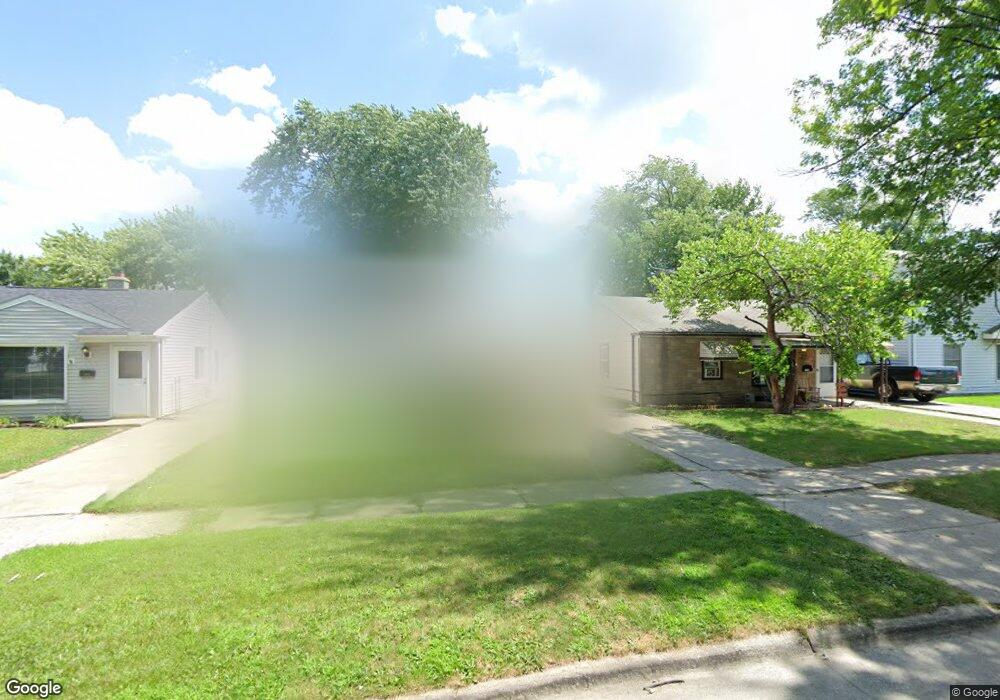
18940 Wall St Melvindale, MI 48122
Estimated Value: $100,723 - $145,000
Studio
--
Bath
819
Sq Ft
$151/Sq Ft
Est. Value
About This Home
This home is located at 18940 Wall St, Melvindale, MI 48122 and is currently estimated at $123,931, approximately $151 per square foot. 18940 Wall St is a home located in Wayne County with nearby schools including Rogers Early Elementary School, Allendale Elementary School, and Julian O. Strong Middle School.
Ownership History
Date
Name
Owned For
Owner Type
Purchase Details
Closed on
Aug 11, 2005
Sold by
A R Properties Of Michigan Llc
Bought by
Bardoni Michael
Current Estimated Value
Home Financials for this Owner
Home Financials are based on the most recent Mortgage that was taken out on this home.
Original Mortgage
$70,000
Interest Rate
8.49%
Mortgage Type
Fannie Mae Freddie Mac
Purchase Details
Closed on
Dec 22, 2003
Sold by
Lmb Properties
Bought by
A R Properties Of Michigan Llc
Create a Home Valuation Report for This Property
The Home Valuation Report is an in-depth analysis detailing your home's value as well as a comparison with similar homes in the area
Home Values in the Area
Average Home Value in this Area
Purchase History
| Date | Buyer | Sale Price | Title Company |
|---|---|---|---|
| Bardoni Michael | -- | Superior Title Services Llc | |
| A R Properties Of Michigan Llc | -- | -- |
Source: Public Records
Mortgage History
| Date | Status | Borrower | Loan Amount |
|---|---|---|---|
| Previous Owner | Bardoni Michael | $70,000 |
Source: Public Records
Tax History
| Year | Tax Paid | Tax Assessment Tax Assessment Total Assessment is a certain percentage of the fair market value that is determined by local assessors to be the total taxable value of land and additions on the property. | Land | Improvement |
|---|---|---|---|---|
| 2025 | $1,121 | $55,100 | $0 | $0 |
| 2024 | $1,087 | $46,800 | $0 | $0 |
| 2023 | $1,034 | $40,200 | $0 | $0 |
| 2022 | $1,662 | $36,200 | $0 | $0 |
| 2021 | $1,610 | $32,000 | $0 | $0 |
| 2020 | $1,602 | $24,400 | $0 | $0 |
| 2019 | $1,502 | $20,200 | $0 | $0 |
| 2018 | $1,016 | $19,300 | $0 | $0 |
| 2017 | $882 | $19,100 | $0 | $0 |
| 2016 | $1,426 | $17,900 | $0 | $0 |
| 2015 | $1,636 | $16,500 | $0 | $0 |
| 2013 | $1,600 | $16,700 | $0 | $0 |
| 2012 | $1,069 | $16,300 | $3,000 | $13,300 |
Source: Public Records
Map
Nearby Homes
- 2735 Margaret St
- 19120 Dix Rd
- 000 Harlow St
- 19504 Roger St
- 24558 Outer Dr
- 2190 Morris Ave
- 1770 Council Ave
- 14721 Morris Ave
- 2105 Morris Ave
- 2091 Morris Ave
- 2065 Morris Ave
- 19550 Henry St
- 18634 Wood St
- 19167 Henry St
- 15261 Demean Ave
- 0002 Prospect St
- 14633 College Ave
- 001 Prospect St
- 17951 Prospect St
- 18624 Hanna St
- 18932 Wall St
- 18948 Wall St
- 19000 Wall St
- 18924 Wall St Unit Bldg-Unit
- 18924 Wall St
- 19008 &19024 Wall St
- 19008 Wall St
- 18916 Wall St
- 19016 Wall St
- 18908 Wall St
- 18941 Wall St
- 18933 Wall St
- 18900 Wall St
- 19024 Wall St
- 19001 Wall St
- 18925 Wall St
- 19009 Wall St
- 18917 Wall St
- 19032 Wall St
- 18848 Wall St
Your Personal Tour Guide
Ask me questions while you tour the home.