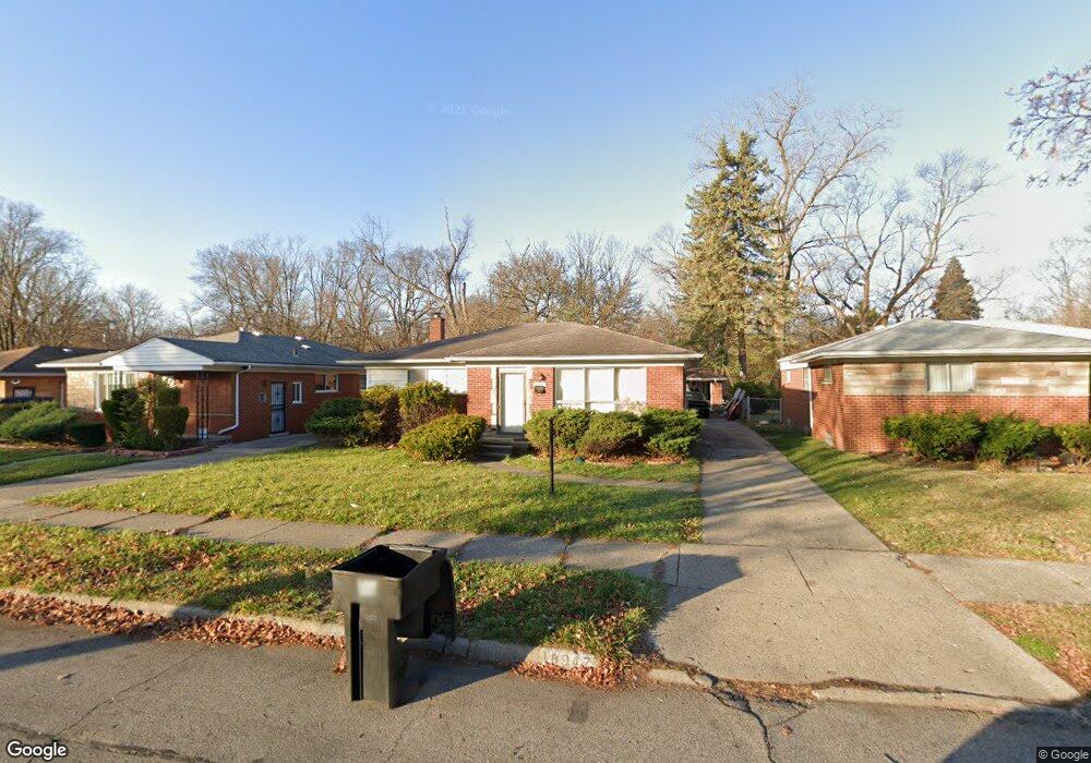
18947 Burt Rd Detroit, MI 48219
Holcomb Community NeighborhoodEstimated Value: $86,000 - $166,000
3
Beds
2
Baths
1,175
Sq Ft
$96/Sq Ft
Est. Value
About This Home
This home is located at 18947 Burt Rd, Detroit, MI 48219 and is currently estimated at $112,849, approximately $96 per square foot. 18947 Burt Rd is a home located in Wayne County with nearby schools including Ralph W. Emerson Elementary-Middle School, Charles L. Spain Elementary-Middle School, and Edward 'Duke' Ellington Conservatory of Music and Art.
Ownership History
Date
Name
Owned For
Owner Type
Purchase Details
Closed on
Feb 23, 2010
Sold by
Donovan Shaun
Bought by
Anderson Schmon
Current Estimated Value
Purchase Details
Closed on
Nov 17, 2008
Sold by
Everbank
Bought by
The Secretary Of Housing & Urban Develop
Purchase Details
Closed on
May 14, 2008
Sold by
Joyce Robin
Bought by
Everbank
Purchase Details
Closed on
Jul 18, 2004
Sold by
Joyce Ruffin Robin
Bought by
Ruffin Ray A
Purchase Details
Closed on
Nov 17, 2003
Sold by
Beville William H
Bought by
Joyce Robin
Create a Home Valuation Report for This Property
The Home Valuation Report is an in-depth analysis detailing your home's value as well as a comparison with similar homes in the area
Home Values in the Area
Average Home Value in this Area
Purchase History
| Date | Buyer | Sale Price | Title Company |
|---|---|---|---|
| Anderson Schmon | $16,201 | None Available | |
| The Secretary Of Housing & Urban Develop | -- | None Available | |
| Everbank | $124,389 | None Available | |
| Ruffin Ray A | -- | -- | |
| Joyce Robin | $120,000 | First American Title Southea |
Source: Public Records
Tax History Compared to Growth
Tax History
| Year | Tax Paid | Tax Assessment Tax Assessment Total Assessment is a certain percentage of the fair market value that is determined by local assessors to be the total taxable value of land and additions on the property. | Land | Improvement |
|---|---|---|---|---|
| 2025 | $1,224 | $47,600 | $0 | $0 |
| 2024 | $1,224 | $41,000 | $0 | $0 |
| 2023 | $1,186 | $31,800 | $0 | $0 |
| 2022 | $1,299 | $29,100 | $0 | $0 |
| 2021 | $1,266 | $20,400 | $0 | $0 |
| 2020 | $1,252 | $20,800 | $0 | $0 |
| 2019 | $1,234 | $16,700 | $0 | $0 |
| 2018 | $1,052 | $13,800 | $0 | $0 |
| 2017 | $262 | $14,200 | $0 | $0 |
| 2016 | $1,210 | $16,100 | $0 | $0 |
| 2015 | $1,610 | $16,100 | $0 | $0 |
| 2013 | $2,263 | $22,633 | $0 | $0 |
| 2010 | -- | $32,430 | $1,479 | $30,951 |
Source: Public Records
Map
Nearby Homes
- 18961 Pierson St
- 18985 Trinity St
- 18525 Burt Rd
- 18529 Trinity St
- 19018 Westbrook St
- 20509 W Seven Mile Rd
- 19151 Trinity St
- 18427 Braile St
- 18995 Fielding St
- 18557 Fielding St
- 18421 Braile St
- 19161 Westbrook St
- 19145 Fielding St
- 18269 Patton St
- 18263 Patton St
- 21400 W Seven Mile Rd
- 18424 Fielding St
- 18451 Stout St
- 18411 Stout St
- 19201 Bentler St