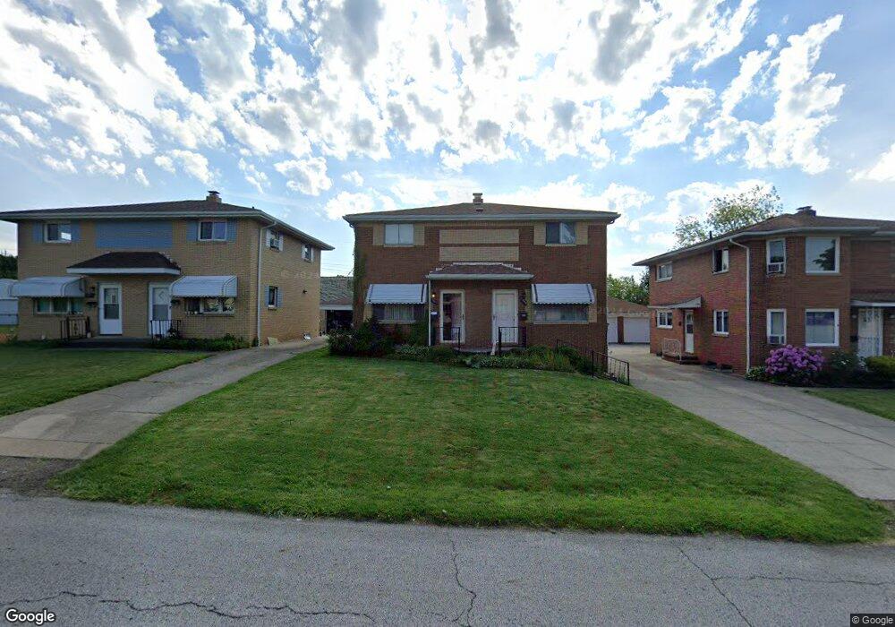
1895 Carter Ave Unit 1897 Akron, OH 44301
Firestone Park NeighborhoodEstimated Value: $180,000 - $198,000
4
Beds
2
Baths
1,792
Sq Ft
$105/Sq Ft
Est. Value
About This Home
This home is located at 1895 Carter Ave Unit 1897, Akron, OH 44301 and is currently estimated at $188,608, approximately $105 per square foot. 1895 Carter Ave Unit 1897 is a home located in Summit County with nearby schools including Kenmore Garfield Community Learning Center, Main Preparatory Academy, and Eagle Elementary.
Ownership History
Date
Name
Owned For
Owner Type
Purchase Details
Closed on
Mar 15, 2013
Sold by
Mansell Alice C
Bought by
Mansell Jeffrey A
Current Estimated Value
Purchase Details
Closed on
Jun 30, 2000
Sold by
Mansell Karen Sue
Bought by
Mansell Alice C
Create a Home Valuation Report for This Property
The Home Valuation Report is an in-depth analysis detailing your home's value as well as a comparison with similar homes in the area
Home Values in the Area
Average Home Value in this Area
Purchase History
| Date | Buyer | Sale Price | Title Company |
|---|---|---|---|
| Mansell Jeffrey A | -- | None Available | |
| Mansell Alice C | -- | -- |
Source: Public Records
Tax History Compared to Growth
Tax History
| Year | Tax Paid | Tax Assessment Tax Assessment Total Assessment is a certain percentage of the fair market value that is determined by local assessors to be the total taxable value of land and additions on the property. | Land | Improvement |
|---|---|---|---|---|
| 2025 | $2,921 | $53,880 | $8,677 | $45,203 |
| 2024 | $2,921 | $53,880 | $8,677 | $45,203 |
| 2023 | $2,921 | $53,880 | $8,677 | $45,203 |
| 2022 | $2,737 | $39,606 | $6,286 | $33,320 |
| 2021 | $2,740 | $39,606 | $6,286 | $33,320 |
| 2020 | $2,699 | $39,610 | $6,290 | $33,320 |
| 2019 | $2,711 | $36,140 | $6,290 | $29,850 |
| 2018 | $2,675 | $36,140 | $6,290 | $29,850 |
| 2017 | $2,718 | $36,140 | $6,290 | $29,850 |
| 2016 | $2,720 | $36,140 | $6,290 | $29,850 |
| 2015 | $2,718 | $36,140 | $6,290 | $29,850 |
| 2014 | $2,697 | $36,140 | $6,290 | $29,850 |
| 2013 | $2,098 | $37,560 | $6,290 | $31,270 |
Source: Public Records
Map
Nearby Homes
- 739 S Firestone Blvd
- 1882 Gless Ave
- 1698 Sunset Ave
- 1699 Redwood Ave
- 315 Clinton Ave
- 1731 Highview Ave
- 1663 Sunset Ave
- 1708 Highview Ave
- 1645 Hammel St
- 249 Naomi St
- 0 Woodview Dr
- 1576 Hammel St
- 1642 Highview Ave
- 369 Mission Dr
- 361 Mission Dr
- 1604 Oakwood Ave
- 2179 Glenmount Ave
- 1614 Glenmount Ave
- 676 E Catawba Ave
- 1571 Redwood Ave
- 1893 Carter Ave
- 1899 Carter Ave Unit 1901
- 1891 Carter Ave Unit 1893
- 1905 Carter Ave Unit 1907
- 1905 1907 Carter Ave
- 1910 Brown St
- 1896 Carter Ave Unit 1898
- 1892 Carter Ave Unit 1894
- 1900 Carter Ave Unit 1902
- 1881 Carter Ave
- 1881 Carter Ave
- 1888 Carter Ave Unit 1890
- 1906 Carter Ave Unit 1908
- 1882 Carter Ave Unit 1884
- 1880 Carter Ave
- 1878 Carter Ave Unit 1880
- 0 Brown St Unit 3090381
- 755 S Firestone Blvd Unit 757
- 1874 Carter Ave Unit 1876
- 755 757 S Firestone Blvd