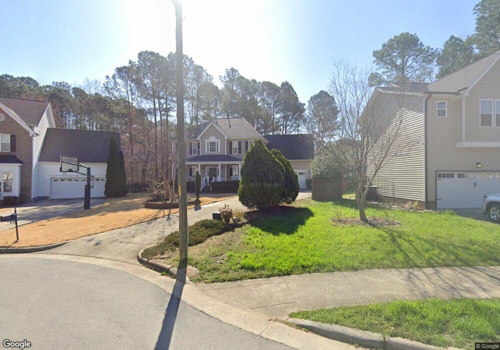
1895 Frissell Ave Apex, NC 27502
West Apex NeighborhoodEstimated Value: $658,000 - $718,000
--
Bed
3
Baths
3,206
Sq Ft
$214/Sq Ft
Est. Value
About This Home
This home is located at 1895 Frissell Ave, Apex, NC 27502 and is currently estimated at $686,912, approximately $214 per square foot. 1895 Frissell Ave is a home located in Wake County with nearby schools including Scotts Ridge Elementary School, Apex Friendship Middle School, and Apex Friendship High School.
Ownership History
Date
Name
Owned For
Owner Type
Purchase Details
Closed on
Aug 13, 2025
Sold by
White-Reid Starlina G
Bought by
Starlina G White-Reid Revocable Living Trust and White-Reid
Current Estimated Value
Purchase Details
Closed on
Jul 18, 2000
Sold by
The New Fortis Corp
Bought by
Reid Hugh M and White Reid Starlina G
Create a Home Valuation Report for This Property
The Home Valuation Report is an in-depth analysis detailing your home's value as well as a comparison with similar homes in the area
Home Values in the Area
Average Home Value in this Area
Purchase History
| Date | Buyer | Sale Price | Title Company |
|---|---|---|---|
| Starlina G White-Reid Revocable Living Trust | -- | None Listed On Document | |
| Starlina G White-Reid Revocable Living Trust | -- | None Listed On Document | |
| Reid Hugh M | $215,000 | -- |
Source: Public Records
Tax History Compared to Growth
Tax History
| Year | Tax Paid | Tax Assessment Tax Assessment Total Assessment is a certain percentage of the fair market value that is determined by local assessors to be the total taxable value of land and additions on the property. | Land | Improvement |
|---|---|---|---|---|
| 2025 | $5,042 | $575,241 | $145,000 | $430,241 |
| 2024 | $4,930 | $575,241 | $145,000 | $430,241 |
| 2023 | $4,274 | $387,741 | $85,000 | $302,741 |
| 2022 | $4,012 | $387,741 | $85,000 | $302,741 |
| 2021 | $3,859 | $387,741 | $85,000 | $302,741 |
| 2020 | $3,820 | $387,741 | $85,000 | $302,741 |
| 2019 | $3,528 | $308,842 | $80,000 | $228,842 |
| 2018 | $3,323 | $308,842 | $80,000 | $228,842 |
| 2017 | $3,093 | $308,842 | $80,000 | $228,842 |
| 2016 | $3,048 | $308,842 | $80,000 | $228,842 |
| 2015 | $3,016 | $298,225 | $48,000 | $250,225 |
| 2014 | -- | $298,225 | $48,000 | $250,225 |
Source: Public Records
Map
Nearby Homes
- 2006 Jerimouth Dr
- 2006 Driskill Ct
- 2108 Jerimouth Dr
- 1124 Woodlands Creek Way
- 1126 Woodlands Creek Way
- 2129 Kelly Rd
- 1042 Mica Lamp Ct
- 2022 Van Hook Ln
- 7104 Camp Branch Ln
- 505 Brickstone Dr
- 1726 Barrett Run Trail
- 1701 Barrett Run Trail
- 2011 Becca Ct
- 1809 Barrett Run Trail
- 2006 Leo Dr
- 1952 Combine Cir
- 312 Brierridge Dr
- 109 Kinship Ln
- 1811 Aspen River Ln
- 104 Pine Tag Ct
- 1893 Frissell Ave
- 1897 Frissell Ave
- 2003 Mountain Ct
- 2003 Pilot Mountain Ct
- 2001 Pilot Mountain Ct
- 2005 Mountain Ct
- 1891 Frissell Ave
- 1894 Frissell Ave
- 1890 Frissell Ave
- 1896 Frissell Ave
- 1892 Frissell Ave
- 1898 Frissell Ave
- 2006 Mountain Ct
- 1990 Frissell Ave
- 1991 Frissell Ave
- 2004 Mountain Ct
- 2000 Mountain Ct
- 1992 Frissell Ave
- 1993 Frissell Ave
- 2100 Pilot Mountain Ct