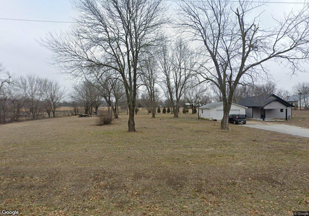
1895 S Malang Rd Joplin, MO 64804
Estimated Value: $139,034 - $235,000
--
Bed
1
Bath
962
Sq Ft
$178/Sq Ft
Est. Value
About This Home
This home is located at 1895 S Malang Rd, Joplin, MO 64804 and is currently estimated at $170,759, approximately $177 per square foot. 1895 S Malang Rd is a home with nearby schools including Carl Junction Primary School (K-1), Carl Junction Intermediate School, and Carl Junction Primary School (2-3).
Ownership History
Date
Name
Owned For
Owner Type
Purchase Details
Closed on
Jun 8, 2022
Sold by
Roger Savage
Bought by
Wright Leslie G and Wright Alisha
Current Estimated Value
Purchase Details
Closed on
Jan 9, 2019
Sold by
Cox Randall W and Cox Kayla
Bought by
Savage Roger
Purchase Details
Closed on
Mar 20, 2017
Sold by
Cox Randall and Cox Windy
Bought by
Cox Ii Randall Wayne and Cox Kayla
Purchase Details
Closed on
Jul 12, 2011
Sold by
Hecht John F and Hecht Betty L
Bought by
Cox Randall
Create a Home Valuation Report for This Property
The Home Valuation Report is an in-depth analysis detailing your home's value as well as a comparison with similar homes in the area
Home Values in the Area
Average Home Value in this Area
Purchase History
| Date | Buyer | Sale Price | Title Company |
|---|---|---|---|
| Wright Leslie G | -- | None Listed On Document | |
| Savage Roger | -- | -- | |
| Cox Ii Randall Wayne | -- | None Available | |
| Cox Randall | -- | Abbey |
Source: Public Records
Tax History Compared to Growth
Tax History
| Year | Tax Paid | Tax Assessment Tax Assessment Total Assessment is a certain percentage of the fair market value that is determined by local assessors to be the total taxable value of land and additions on the property. | Land | Improvement |
|---|---|---|---|---|
| 2024 | $702 | $14,070 | $1,960 | $12,110 |
| 2023 | $702 | $14,070 | $1,960 | $12,110 |
| 2022 | $285 | $5,680 | $1,960 | $3,720 |
| 2021 | $284 | $5,680 | $1,960 | $3,720 |
| 2020 | $280 | $5,510 | $1,960 | $3,550 |
| 2019 | $247 | $5,130 | $1,960 | $3,170 |
| 2018 | $217 | $4,520 | $0 | $0 |
| 2017 | $218 | $4,520 | $0 | $0 |
| 2016 | $219 | $4,590 | $0 | $0 |
| 2015 | $214 | $4,590 | $0 | $0 |
| 2014 | $214 | $4,590 | $0 | $0 |
Source: Public Records
Map
Nearby Homes
- 7114 W 20th St
- 1823 E 12th St
- TBD W Wildwood Ranch Pkwy
- 1105 Princeton St
- 1506 E 13th St
- 1210 Madison St
- 1813 E Front St
- 1220 Keller St
- 1366 S Twin Oaks Ln
- 900 E 7th St
- TBD Antelope Rd
- 15XX S John Duffy Dr
- 920 E 19th St
- 1809, 1811 1813 East Front St
- 4709 W 28th Place
- 4308 Par Ln
- 516 E 5th St
- 0000 Clark St
- 4431 W 29th St
- 1958 S Black Cat Rd
- 1941 S Malang Rd
- 1972 Dry Creek Ln
- 1977 Dry Creek Ln
- 1763 S Malang Rd
- 6857 W 20th St
- 6930 Journey Ln
- 6459 W 20th St
- 6661 W Burgandy Ln
- 1705 S Malang Rd
- 6633 N Burgandy Ln
- 6633 N Burgandy Ln Unit 1
- 1938 S Underwood Ln
- 648 Rr 10
- 1937 S Underwood Ln
- 1576 S Malang Rd
- 203 S Eagle Ln
- 217 S Eagle Ln
- 7111 W 20th St
- 1538 S Malang Rd
- 1533 S Malang Rd