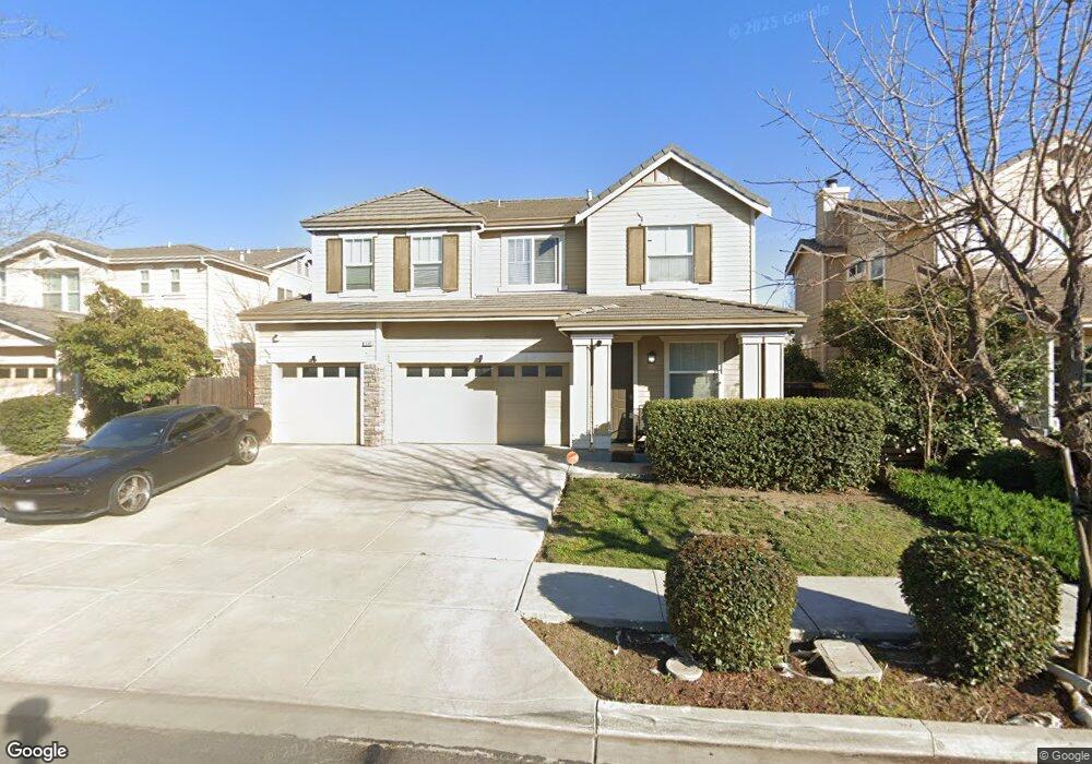
1896 Connor Way Brentwood, CA 94513
Brentwood Center NeighborhoodEstimated Value: $758,865 - $824,000
4
Beds
3
Baths
2,524
Sq Ft
$313/Sq Ft
Est. Value
About This Home
This home is located at 1896 Connor Way, Brentwood, CA 94513 and is currently estimated at $789,716, approximately $312 per square foot. 1896 Connor Way is a home located in Contra Costa County with nearby schools including Mary Casey Black Elementary School, Edna Hill Middle School, and Liberty High School.
Ownership History
Date
Name
Owned For
Owner Type
Purchase Details
Closed on
May 25, 2005
Sold by
Ward Payne Maurice and Chavez Ward Lynette
Bought by
Ward Payne Maurice and Chavez Ward Lynette
Current Estimated Value
Home Financials for this Owner
Home Financials are based on the most recent Mortgage that was taken out on this home.
Original Mortgage
$435,000
Outstanding Balance
$227,685
Interest Rate
5.9%
Mortgage Type
Stand Alone Refi Refinance Of Original Loan
Estimated Equity
$562,031
Purchase Details
Closed on
Jul 20, 2004
Sold by
Sunset Crossing Brentwood Llc
Bought by
Ward Maurice and Ward Lynette Chavez
Home Financials for this Owner
Home Financials are based on the most recent Mortgage that was taken out on this home.
Original Mortgage
$364,333
Interest Rate
6.29%
Mortgage Type
Purchase Money Mortgage
Create a Home Valuation Report for This Property
The Home Valuation Report is an in-depth analysis detailing your home's value as well as a comparison with similar homes in the area
Home Values in the Area
Average Home Value in this Area
Purchase History
| Date | Buyer | Sale Price | Title Company |
|---|---|---|---|
| Ward Payne Maurice | -- | First California Title | |
| Ward Maurice | $405,000 | Old Republic Title |
Source: Public Records
Mortgage History
| Date | Status | Borrower | Loan Amount |
|---|---|---|---|
| Open | Ward Payne Maurice | $435,000 | |
| Closed | Ward Maurice | $364,333 | |
| Closed | Ward Maurice | $20,241 |
Source: Public Records
Tax History Compared to Growth
Tax History
| Year | Tax Paid | Tax Assessment Tax Assessment Total Assessment is a certain percentage of the fair market value that is determined by local assessors to be the total taxable value of land and additions on the property. | Land | Improvement |
|---|---|---|---|---|
| 2025 | $8,362 | $582,220 | $163,077 | $419,143 |
| 2024 | $8,229 | $570,805 | $159,880 | $410,925 |
| 2023 | $8,229 | $559,614 | $156,746 | $402,868 |
| 2022 | $8,105 | $548,642 | $153,673 | $394,969 |
| 2021 | $7,903 | $537,885 | $150,660 | $387,225 |
| 2019 | $7,888 | $521,934 | $146,193 | $375,741 |
| 2018 | $7,548 | $511,701 | $143,327 | $368,374 |
| 2017 | $7,548 | $501,668 | $140,517 | $361,151 |
| 2016 | $6,800 | $449,000 | $125,765 | $323,235 |
| 2015 | $6,373 | $416,500 | $116,662 | $299,838 |
| 2014 | $5,881 | $360,500 | $100,976 | $259,524 |
Source: Public Records
Map
Nearby Homes
- 166 Trent Place
- 543 Belmont Ct
- 2059 Heartland Ct
- 509 Milford St
- 427 Grovewood Loop
- 1664 Bedford Ct
- 1812 Cedarwood Terrace
- 364 Bridgewater Dr
- 212 Brush Creek Dr
- 237 Goose Creek Ave
- 85 Baird Cir
- 158 Wooley Creek Way
- 170 Sunrise Dr
- 688 Hamilton Ct
- 278 Sespe Creek Ave
- 1949 Crowley Ct
- 220 Whispering Oaks Ct
- 2255 Sugarloaf Ct
- 741 Jennifer St
- 714 Jennifer St
- 1894 Connor Way
- 1898 Connor Way
- 601 Bristol Ct
- 1892 Connor Way
- 252 Laird Place
- 231 Carter Place
- 1890 Connor Way
- 650 Foxboro Ct
- 250 Laird Place
- 603 Bristol Ct
- 229 Carter Place
- 1888 Connor Way
- 248 Laird Place
- 652 Foxboro Ct
- 227 Carter Place
- 230 Carter Place
- 605 Bristol Ct
- 600 Bristol Ct
- 2002 Trailside Dr
- 246 Laird Place