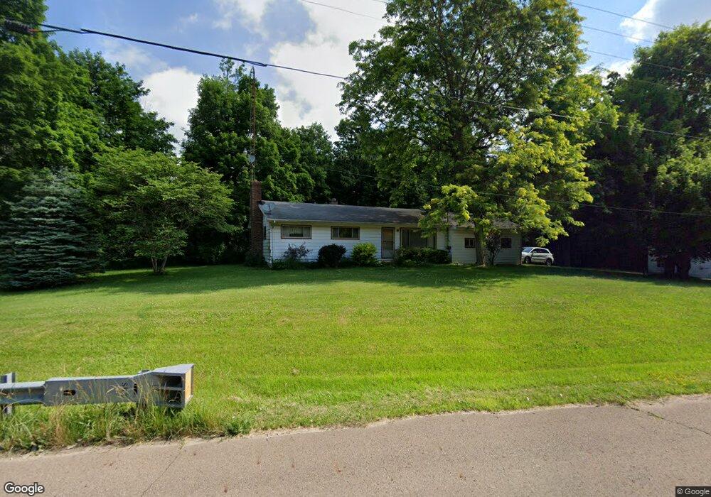
1896 Springmill Rd Mansfield, OH 44903
Estimated Value: $149,817 - $280,000
3
Beds
1
Bath
1,092
Sq Ft
$191/Sq Ft
Est. Value
About This Home
This home is located at 1896 Springmill Rd, Mansfield, OH 44903 and is currently estimated at $208,954, approximately $191 per square foot. 1896 Springmill Rd is a home located in Richland County with nearby schools including Stingel Elementary School, Ontario Middle School, and Ontario High School.
Ownership History
Date
Name
Owned For
Owner Type
Purchase Details
Closed on
Jul 28, 2006
Sold by
Ammons Irma J
Bought by
Hlatky Wayne T
Current Estimated Value
Home Financials for this Owner
Home Financials are based on the most recent Mortgage that was taken out on this home.
Original Mortgage
$15,750
Outstanding Balance
$826
Interest Rate
6.85%
Mortgage Type
Unknown
Estimated Equity
$208,128
Purchase Details
Closed on
Oct 15, 1993
Sold by
Ammons Kaye P
Bought by
Ammons Irma J
Create a Home Valuation Report for This Property
The Home Valuation Report is an in-depth analysis detailing your home's value as well as a comparison with similar homes in the area
Home Values in the Area
Average Home Value in this Area
Purchase History
| Date | Buyer | Sale Price | Title Company |
|---|---|---|---|
| Hlatky Wayne T | $105,000 | Fidelity Title & Closing Ser | |
| Ammons Irma J | -- | -- |
Source: Public Records
Mortgage History
| Date | Status | Borrower | Loan Amount |
|---|---|---|---|
| Open | Hlatky Wayne T | $15,750 | |
| Open | Hlatky Wayne T | $84,000 |
Source: Public Records
Tax History
| Year | Tax Paid | Tax Assessment Tax Assessment Total Assessment is a certain percentage of the fair market value that is determined by local assessors to be the total taxable value of land and additions on the property. | Land | Improvement |
|---|---|---|---|---|
| 2024 | $1,662 | $34,120 | $7,050 | $27,070 |
| 2023 | $1,700 | $34,120 | $7,050 | $27,070 |
| 2022 | $1,554 | $26,840 | $6,410 | $20,430 |
| 2021 | $1,557 | $26,840 | $6,410 | $20,430 |
| 2020 | $1,662 | $26,840 | $6,410 | $20,430 |
| 2019 | $1,556 | $22,740 | $5,430 | $17,310 |
| 2018 | $1,321 | $22,740 | $5,430 | $17,310 |
| 2017 | $1,300 | $22,740 | $5,430 | $17,310 |
| 2016 | $1,316 | $22,880 | $5,270 | $17,610 |
| 2015 | $1,316 | $22,880 | $5,270 | $17,610 |
| 2014 | $1,317 | $22,880 | $5,270 | $17,610 |
| 2012 | $617 | $23,580 | $5,430 | $18,150 |
Source: Public Records
Map
Nearby Homes
- 23 Chestnut Ct
- 104 Chestnut Ct
- 1980 Walker Lake Rd
- Lot 2 Spring Village Ln
- 1590 Walker Woods Blvd
- 1592 Walker Woods Blvd
- 1129 Bogey Dr
- 1114 Bogey Dr Unit 1114
- 1111 Bogey Dr
- 1909 Teakwood Dr
- 1915 Teakwood Dr Unit 1915
- 1092 N Trimble Rd
- 1101 Lenox Ave
- 730 Scott Dr
- 677 Scott Dr Unit 677
- 655 Villa Dr
- 933 Fairfax Ave
- 1113 Wyandotte Ave
- 880 Fairfax Ave
- 878 Fairfax Ave
- 1904 State Route 39
- 1890 Springmill Rd
- 1904 Springmill Rd
- 1924 Springmill Rd
- 1880 Springmill Rd
- 1938 State Route 39 Land
- 1938 Springmill Rd
- 1816 Springmill Rd
- 1960 Springmill Rd
- 1810 Springmill Rd
- 1985 Gfrer Rd
- 1999 Leppo Rd
- 1970 Springmill Rd
- 1980 State Route 39
- 1995 Gfrer Rd
- 2005 Gfrer Rd
- 2015 Gfrer Rd
- 2000 Springmill Rd
- 2431 Springmill Rd
- 1995 Springmill Rd
Your Personal Tour Guide
Ask me questions while you tour the home.