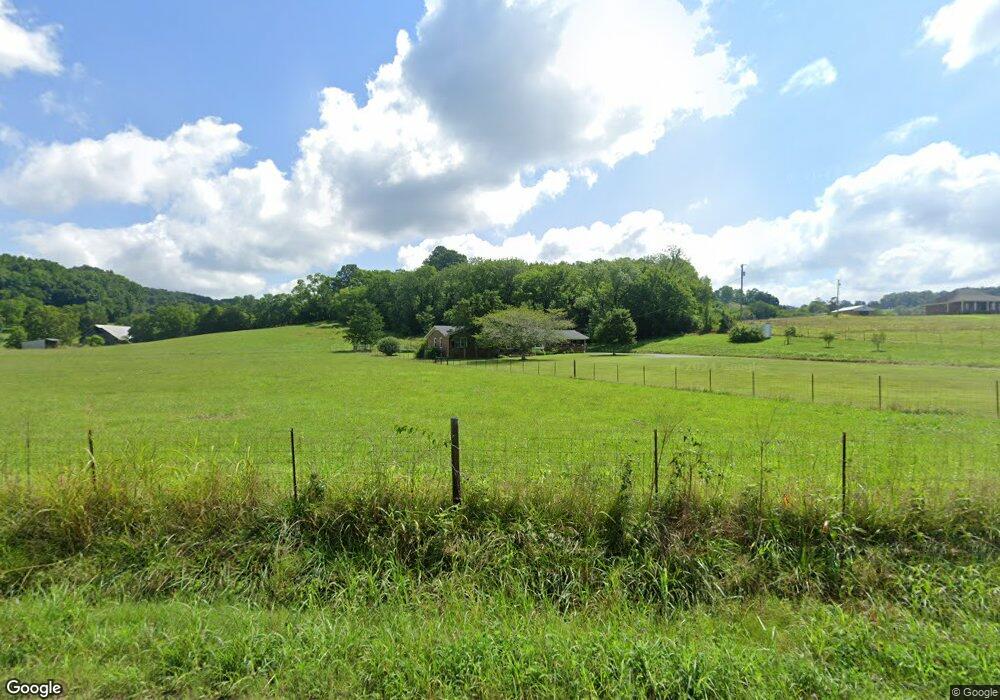
1897 Bledsoe Rd Pulaski, TN 38478
Estimated Value: $491,000 - $1,388,762
--
Bed
1
Bath
2,547
Sq Ft
$324/Sq Ft
Est. Value
About This Home
This home is located at 1897 Bledsoe Rd, Pulaski, TN 38478 and is currently estimated at $824,254, approximately $323 per square foot. 1897 Bledsoe Rd is a home located in Giles County with nearby schools including Pulaski Elementary School, Southside Elementary School, and Bridgeforth Middle School.
Ownership History
Date
Name
Owned For
Owner Type
Purchase Details
Closed on
Feb 15, 1994
Sold by
Christopher William Dean
Bought by
Christopher William Don
Current Estimated Value
Purchase Details
Closed on
Dec 7, 1993
Bought by
Christopher Willian Don
Purchase Details
Closed on
Jan 2, 1961
Bought by
Christopher William D and Mary Ellen
Purchase Details
Closed on
Jan 1, 1944
Create a Home Valuation Report for This Property
The Home Valuation Report is an in-depth analysis detailing your home's value as well as a comparison with similar homes in the area
Home Values in the Area
Average Home Value in this Area
Purchase History
| Date | Buyer | Sale Price | Title Company |
|---|---|---|---|
| Christopher William Don | $38,500 | -- | |
| Christopher Willian Don | $39,000 | -- | |
| Christopher William D | -- | -- | |
| -- | -- | -- |
Source: Public Records
Tax History Compared to Growth
Tax History
| Year | Tax Paid | Tax Assessment Tax Assessment Total Assessment is a certain percentage of the fair market value that is determined by local assessors to be the total taxable value of land and additions on the property. | Land | Improvement |
|---|---|---|---|---|
| 2025 | $2,026 | $101,975 | $0 | $0 |
| 2024 | $2,026 | $101,975 | $54,800 | $47,175 |
| 2023 | $2,026 | $101,975 | $54,800 | $47,175 |
| 2022 | $2,026 | $101,975 | $54,800 | $47,175 |
| 2021 | $2,487 | $88,050 | $42,850 | $45,200 |
| 2020 | $2,487 | $88,050 | $42,850 | $45,200 |
| 2019 | $2,518 | $88,050 | $42,850 | $45,200 |
| 2018 | $2,518 | $88,050 | $42,850 | $45,200 |
| 2017 | $1,902 | $67,350 | $42,850 | $24,500 |
| 2016 | $1,686 | $56,750 | $31,275 | $25,475 |
| 2015 | $1,573 | $56,750 | $31,275 | $25,475 |
| 2014 | $1,573 | $56,758 | $0 | $0 |
Source: Public Records
Map
Nearby Homes
- 300 Maxwell Hill Rd
- 5 Rambling Ridge Rd
- 124 Lookout Ln
- 130 Rambling Ridge
- 25 View Point Valley
- 101 Paula Place
- 20 View Point Valley
- 19 View Point Valley
- 18 View Point Valley
- 250 Northridge Dr
- 340 Bailey Ln
- 1400 Ragsdale Ln
- 1811 Columbia Hwy
- 215 Al Roman Rd
- 220 Poling Dr
- 232 Poling Dr
- 958 Dollar Hollow Rd
- 0 N 3rd St
- 808 N 1st St
- 140 Phillips St
- 1897 Bledsoe Rd
- 1793 Bledsoe Rd
- 1773 Bledsoe Rd
- 1699 Bledsoe Rd
- 0 Beech Hill To Frankewing Unit RTC1476350
- 0 Beech Hill To Frankewing Unit RTC1294933
- 0 Hidden Hills S D Unit RTC1464043
- 1 Stonecreek Dr
- 1631 Bledsoe Rd
- 2220 Bledsoe Rd
- 2 Providence Rd
- 1 Providence Rd
- 1 Black Rd
- 0 Choates Creek Rd Unit 1569118
- 0 Old Rocky Rd Unit 1580150
- 182 Bre Ave
- 0 Sunrise Ridge Rd Unit 1699106
- 0 N of Williamsburg Dr Unit 1622307
- 0 Sunrise Ridge Rd Unit 1640027
- 0 Clear Creek Lake Unit RTC1644285