1899 N 35th Ave W Newton, IA 50208
Estimated Value: $266,000 - $343,000
3
Beds
1
Bath
1,536
Sq Ft
$190/Sq Ft
Est. Value
About This Home
This home is located at 1899 N 35th Ave W, Newton, IA 50208 and is currently estimated at $291,716, approximately $189 per square foot. 1899 N 35th Ave W is a home located in Jasper County with nearby schools including Thomas Jefferson Elementary School, Woodrow Wilson Elementary School, and Berg Middle School.
Ownership History
Date
Name
Owned For
Owner Type
Purchase Details
Closed on
Apr 25, 2011
Sold by
Altemeire Larry and Altemeier Connie
Bought by
Guy Michael P and Guy Rhonda R
Current Estimated Value
Home Financials for this Owner
Home Financials are based on the most recent Mortgage that was taken out on this home.
Original Mortgage
$136,600
Outstanding Balance
$94,812
Interest Rate
4.93%
Mortgage Type
FHA
Estimated Equity
$196,904
Create a Home Valuation Report for This Property
The Home Valuation Report is an in-depth analysis detailing your home's value as well as a comparison with similar homes in the area
Home Values in the Area
Average Home Value in this Area
Purchase History
| Date | Buyer | Sale Price | Title Company |
|---|---|---|---|
| Guy Michael P | $137,000 | None Available |
Source: Public Records
Mortgage History
| Date | Status | Borrower | Loan Amount |
|---|---|---|---|
| Open | Guy Michael P | $136,600 |
Source: Public Records
Tax History Compared to Growth
Tax History
| Year | Tax Paid | Tax Assessment Tax Assessment Total Assessment is a certain percentage of the fair market value that is determined by local assessors to be the total taxable value of land and additions on the property. | Land | Improvement |
|---|---|---|---|---|
| 2025 | $2,266 | $241,220 | $76,000 | $165,220 |
| 2024 | $2,266 | $184,340 | $50,070 | $134,270 |
| 2023 | $2,192 | $184,340 | $50,070 | $134,270 |
| 2022 | $2,098 | $160,940 | $50,070 | $110,870 |
| 2021 | $1,914 | $150,700 | $50,070 | $100,630 |
| 2020 | $1,914 | $131,350 | $39,620 | $91,730 |
| 2019 | $1,816 | $117,370 | $0 | $0 |
| 2018 | $1,816 | $117,370 | $0 | $0 |
| 2017 | $1,820 | $117,370 | $0 | $0 |
| 2016 | $1,820 | $117,370 | $0 | $0 |
| 2015 | $1,772 | $117,370 | $0 | $0 |
| 2014 | $1,738 | $117,370 | $0 | $0 |
Source: Public Records
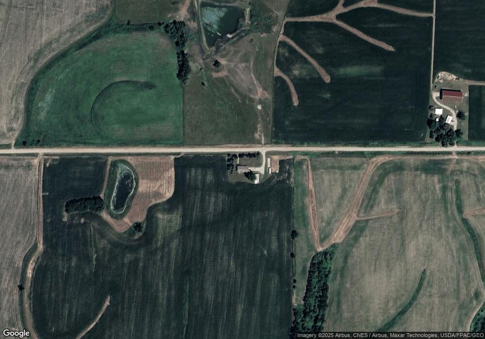
Map
Nearby Homes
- 3735 W 3rd St N
- 1650 W 28th St N
- 1525 1st St N
- 1005 W 8th St N
- 1420 1st St N
- 1401 1st St N
- 549 W 10th St N
- 316 N 9th Ave W
- 4848 W 48th St N
- 831 1st St N
- 124 Emerson Hough Dr
- 304 W 11th St N
- 299 Hickory St
- 6911-10 Highway F 48 W
- 817 E 6th St N
- 506 N 8th Ave E
- 1100 1st Ave W
- 1000 1st Ave W
- 918 E 6th St N
- 701 E 5th St N
- 1516 N 35th Ave W
- 1220 N 35th Ave W
- 2889 W 12th St N
- 3498 W 12th St N
- 3408 W 28th St N
- 1465 Hunter Ave
- 3718 Harper St
- 1262 Hunter Ave
- 1968 Highway F36 W
- 3075 W 28th St N
- 2112 Highway F36 W
- 1878 Highway F36 W
- 668 N 35th Ave W
- 2493 W 12th St N
- 2542 W 12th St N Unit A
- 2542 W 12th St N
- 610 N 35th Ave W
- 1508 Highway F36 W
- 1693 Hunter Ave Unit A
- 1693 Hunter Ave