18N614 Westhill Rd Dundee, IL 60118
Estimated Value: $713,000 - $824,000
5
Beds
4
Baths
3,700
Sq Ft
$206/Sq Ft
Est. Value
About This Home
This home is located at 18N614 Westhill Rd, Dundee, IL 60118 and is currently estimated at $763,749, approximately $206 per square foot. 18N614 Westhill Rd is a home with nearby schools including Liberty Elementary School, Dundee Middle School, and Harry D Jacobs High School.
Ownership History
Date
Name
Owned For
Owner Type
Purchase Details
Closed on
Jun 9, 2015
Sold by
Loane Jeffrey and Loane Danuta
Bought by
Chicago Title Land Trust Company and Trust #8002368425
Current Estimated Value
Purchase Details
Closed on
Sep 28, 2006
Sold by
Streets Ronald W and Streets Marsha M
Bought by
Loanc Jeffrey and Loane Danuta
Purchase Details
Closed on
Oct 28, 2004
Sold by
Oehler John R and Oehler Sharon C
Bought by
Streets Ronald W and Streets Marsha M
Purchase Details
Closed on
Jan 10, 2003
Sold by
Davis Jennifer
Bought by
Oehler John R and Oehler Sharon C
Create a Home Valuation Report for This Property
The Home Valuation Report is an in-depth analysis detailing your home's value as well as a comparison with similar homes in the area
Home Values in the Area
Average Home Value in this Area
Purchase History
| Date | Buyer | Sale Price | Title Company |
|---|---|---|---|
| Chicago Title Land Trust Company | -- | Chicago Title Land Trust Co | |
| Loanc Jeffrey | $342,500 | Chicago Title Insurance Co | |
| Streets Ronald W | $250,000 | Chicago Title Insurance Comp | |
| Oehler John R | $200,000 | Chicago Title Insurance Co |
Source: Public Records
Tax History
| Year | Tax Paid | Tax Assessment Tax Assessment Total Assessment is a certain percentage of the fair market value that is determined by local assessors to be the total taxable value of land and additions on the property. | Land | Improvement |
|---|---|---|---|---|
| 2024 | $14,857 | $209,618 | $78,713 | $130,905 |
| 2023 | $14,184 | $188,607 | $70,823 | $117,784 |
| 2022 | $14,509 | $188,607 | $70,823 | $117,784 |
| 2021 | $14,108 | $178,082 | $66,871 | $111,211 |
| 2020 | $13,835 | $174,079 | $65,368 | $108,711 |
| 2019 | $13,475 | $165,254 | $62,054 | $103,200 |
| 2018 | $14,116 | $168,389 | $62,964 | $105,425 |
| 2017 | $13,560 | $157,520 | $58,900 | $98,620 |
| 2016 | $11,764 | $128,814 | $57,029 | $71,785 |
| 2015 | -- | $53,438 | $53,438 | $0 |
| 2014 | -- | $51,962 | $51,962 | $0 |
| 2013 | -- | $53,552 | $53,552 | $0 |
Source: Public Records
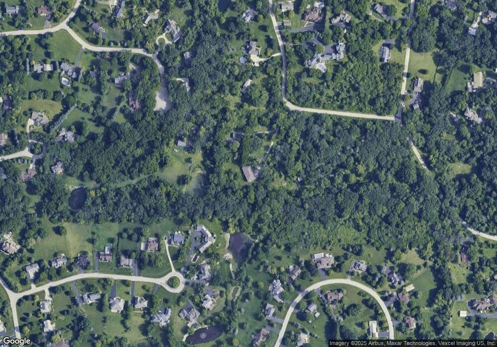
Map
Nearby Homes
- 18N741 Westhill Rd
- 35W543 Miller Rd
- 3701 Blue Ridge Dr
- 0000 State Route 31
- 3125 Shenandoah Dr
- 1460 Lancaster Ln
- Route 31 Route
- 1530 Westbourne Pkwy
- 1540 Westbourne Pkwy
- 9 Greyshire Ct
- 1240 Glenmont St
- 2313 Barrett Dr
- 2224 Barrett Dr
- 1201 Waterford St
- Lots 59, 60, 61 State Route 31
- 1211 Waterford St
- 1231 Waterford St
- 1101 Waterford St
- 2010 Cosman Way
- 301 Cold Spring St
- 18N618 Westhill Rd
- 35W744 Valley View Rd
- 35W797 Burr Oak Ln
- 18N642 Westhill Rd
- 35W748 Valley View Rd
- 18N600 Westhill Rd
- 35W625 Parsons Rd
- 35W740 Valley View Rd
- 35W786 Burr Oak Ln
- 35W611 Parsons Rd
- 35W635 Parsons Rd Unit 2
- 35W820 Valley View Rd
- 35W741 Valley View Rd
- 18N646 Westhill Rd
- 35W637 Parsons Rd
- 35W813 Burr Oak Ln
- 35W636 Parsons Rd
- 35W547 Parsons Rd
- 18N645 Westhill Rd
- 35W830 Valley View Rd
Your Personal Tour Guide
Ask me questions while you tour the home.