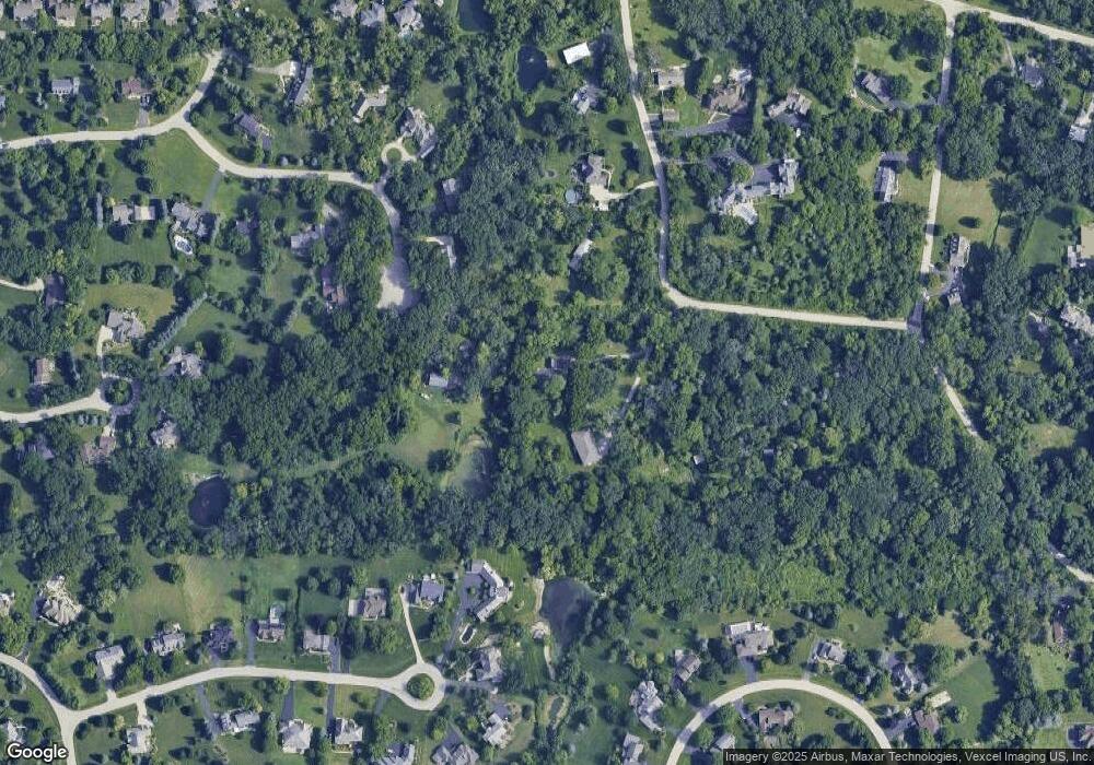
18N618 Westhill Rd Dundee, IL 60118
Estimated Value: $538,809 - $622,000
3
Beds
--
Bath
2,917
Sq Ft
$198/Sq Ft
Est. Value
About This Home
This home is located at 18N618 Westhill Rd, Dundee, IL 60118 and is currently estimated at $577,702, approximately $198 per square foot. 18N618 Westhill Rd is a home located in Kane County with nearby schools including Liberty Elementary School, Dundee Middle School, and Harry D Jacobs High School.
Ownership History
Date
Name
Owned For
Owner Type
Purchase Details
Closed on
Dec 19, 2006
Sold by
Davis Jennifer
Bought by
Gassner Jennifer L and Woyna Al
Current Estimated Value
Home Financials for this Owner
Home Financials are based on the most recent Mortgage that was taken out on this home.
Original Mortgage
$313,600
Outstanding Balance
$187,079
Interest Rate
6.27%
Mortgage Type
Purchase Money Mortgage
Estimated Equity
$390,623
Purchase Details
Closed on
May 1, 2000
Sold by
Regent Investment Inc
Bought by
Davis Jennifer
Purchase Details
Closed on
Apr 26, 2000
Sold by
Dols Terri M
Bought by
Davis Jennifer
Create a Home Valuation Report for This Property
The Home Valuation Report is an in-depth analysis detailing your home's value as well as a comparison with similar homes in the area
Home Values in the Area
Average Home Value in this Area
Purchase History
| Date | Buyer | Sale Price | Title Company |
|---|---|---|---|
| Gassner Jennifer L | $392,000 | Chicago Title Insurance Co | |
| Davis Jennifer | $160,000 | Greater Illinois Title Compa | |
| Davis Jennifer | $120,000 | Greater Illinois Title Compa |
Source: Public Records
Mortgage History
| Date | Status | Borrower | Loan Amount |
|---|---|---|---|
| Open | Gassner Jennifer L | $313,600 |
Source: Public Records
Tax History Compared to Growth
Tax History
| Year | Tax Paid | Tax Assessment Tax Assessment Total Assessment is a certain percentage of the fair market value that is determined by local assessors to be the total taxable value of land and additions on the property. | Land | Improvement |
|---|---|---|---|---|
| 2024 | $10,122 | $150,807 | $42,880 | $107,927 |
| 2023 | $9,603 | $135,691 | $38,582 | $97,109 |
| 2022 | $9,977 | $135,691 | $38,582 | $97,109 |
| 2021 | $9,674 | $128,119 | $36,429 | $91,690 |
| 2020 | $9,477 | $125,239 | $35,610 | $89,629 |
| 2019 | $9,205 | $118,890 | $33,805 | $85,085 |
| 2018 | $9,557 | $120,009 | $62,667 | $57,342 |
| 2017 | $9,147 | $112,263 | $58,622 | $53,641 |
| 2016 | $9,379 | $108,697 | $56,760 | $51,937 |
| 2015 | -- | $101,853 | $53,186 | $48,667 |
| 2014 | -- | $99,040 | $51,717 | $47,323 |
| 2013 | -- | $102,072 | $53,300 | $48,772 |
Source: Public Records
Map
Nearby Homes
- 18N732 Westhill Rd
- 3404 Green Pastures Rd
- 35W543 Miller Rd
- 1681 Highmeadow Ln
- 5 Lancaster Ct
- 0000 State Route 31
- 1551 Westbourne Pkwy
- 1530 Westbourne Pkwy
- 6415 Grassmere Ln
- 3835 Parsons Rd
- 1540 Westbourne Pkwy
- 6 Greyshire Ct
- 6109 Dunroven Lakes Ct
- Route 31 Route
- 2219 Barrett Dr
- 1111 Waterford St
- 1141 Waterford St
- 7349 Grandview Ct Unit 103
- 2316 Loop Rd
- 11 Bitter Spring Ct Unit 162
- 18N614 Westhill Rd
- 18N642 Westhill Rd
- 35W797 Burr Oak Ln
- 35W786 Burr Oak Ln
- 18N646 Westhill Rd
- 35W788 Burr Oak Ln
- 35W813 Burr Oak Ln
- 35W744 Valley View Rd
- 35W748 Valley View Rd
- 18N600 Westhill Rd
- 18N645 Westhill Rd
- 35W841 Burr Oak Ln
- 35W838 Burr Oak Ln
- 18N808 Westhill Rd
- 35W820 Valley View Rd
- 35W740 Valley View Rd
- 18N741 Westhill Rd
- 18N651 Westhill Rd
- 35W773 Burr Oak Ln
- 35W625 Parsons Rd
