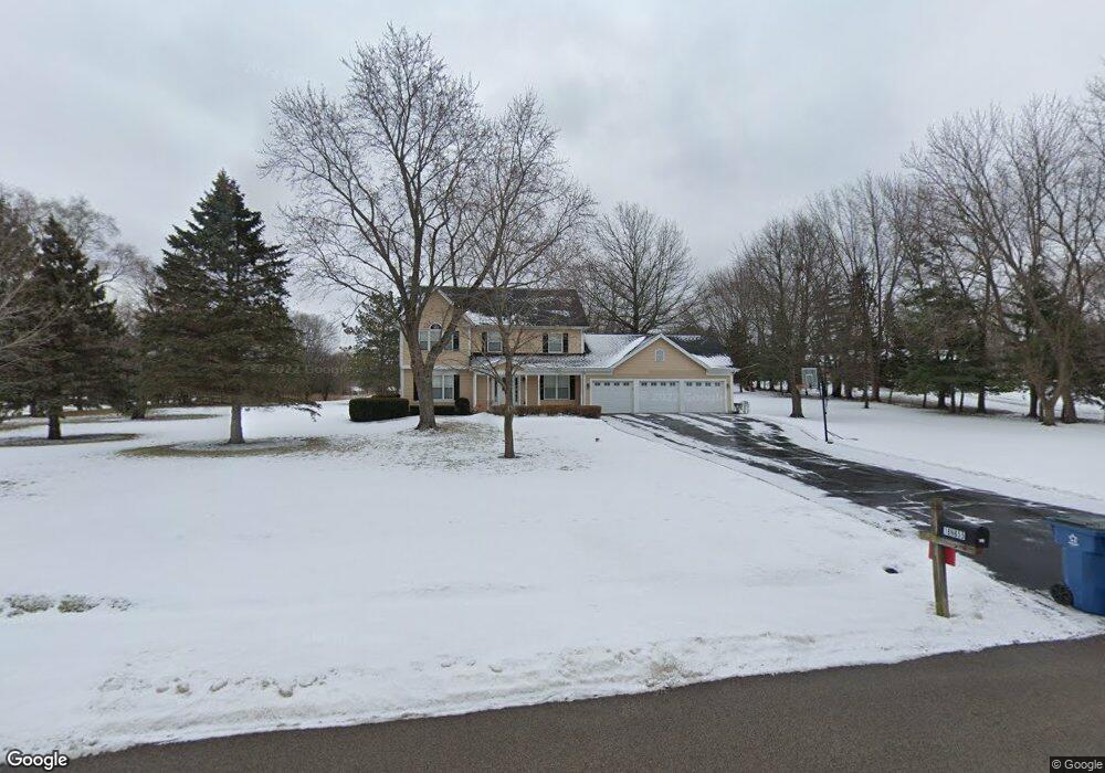
18N655 Spring Bluff Dr Dundee, IL 60118
Estimated Value: $444,535 - $497,000
Studio
--
Bath
2,324
Sq Ft
$206/Sq Ft
Est. Value
About This Home
This home is located at 18N655 Spring Bluff Dr, Dundee, IL 60118 and is currently estimated at $478,384, approximately $205 per square foot. 18N655 Spring Bluff Dr is a home located in Kane County with nearby schools including Liberty Elementary School, Dundee Middle School, and Harry D Jacobs High School.
Ownership History
Date
Name
Owned For
Owner Type
Purchase Details
Closed on
Aug 17, 2001
Sold by
Bakka Edward and Bakka Marilyn
Bought by
Bethke Jeffrey D and Bethke Vicki L
Current Estimated Value
Home Financials for this Owner
Home Financials are based on the most recent Mortgage that was taken out on this home.
Original Mortgage
$220,000
Outstanding Balance
$85,570
Interest Rate
7.11%
Estimated Equity
$392,814
Create a Home Valuation Report for This Property
The Home Valuation Report is an in-depth analysis detailing your home's value as well as a comparison with similar homes in the area
Home Values in the Area
Average Home Value in this Area
Purchase History
| Date | Buyer | Sale Price | Title Company |
|---|---|---|---|
| Bethke Jeffrey D | $300,000 | Chicago Title Insurance Co |
Source: Public Records
Mortgage History
| Date | Status | Borrower | Loan Amount |
|---|---|---|---|
| Open | Bethke Jeffrey D | $220,000 |
Source: Public Records
Tax History
| Year | Tax Paid | Tax Assessment Tax Assessment Total Assessment is a certain percentage of the fair market value that is determined by local assessors to be the total taxable value of land and additions on the property. | Land | Improvement |
|---|---|---|---|---|
| 2024 | $9,200 | $137,807 | $39,780 | $98,027 |
| 2023 | $8,723 | $123,994 | $35,793 | $88,201 |
| 2022 | $8,517 | $116,719 | $35,793 | $80,926 |
| 2021 | $8,255 | $110,206 | $33,796 | $76,410 |
| 2020 | $8,085 | $107,728 | $33,036 | $74,692 |
| 2019 | $8,352 | $108,433 | $31,361 | $77,072 |
| 2018 | $8,110 | $102,745 | $30,984 | $71,761 |
| 2017 | $7,757 | $96,113 | $28,984 | $67,129 |
| 2016 | $7,857 | $92,034 | $28,064 | $63,970 |
| 2015 | -- | $86,239 | $26,297 | $59,942 |
| 2014 | -- | $83,858 | $25,571 | $58,287 |
| 2013 | -- | $86,425 | $26,354 | $60,071 |
Source: Public Records
Map
Nearby Homes
- 3355 Blue Ridge Dr
- 3701 Blue Ridge Dr
- 9 Greyshire Ct
- 3125 Shenandoah Dr
- 1240 Glenmont St
- 2313 Barrett Dr
- 1460 Lancaster Ln
- 1540 Westbourne Pkwy
- 1530 Westbourne Pkwy
- 1201 Waterford St
- 2224 Barrett Dr
- 35W543 Miller Rd
- 1211 Waterford St
- 1101 Waterford St
- 1231 Waterford St
- 2010 Cosman Way
- 301 Cold Spring St
- 120 Newburgh Ln
- 2030 Cosman Way
- 2040 Cosman Way
- 18N630 Spring Bluff Dr
- 18N611 Spring Bluff Dr
- 18N622 Spring Bluff Dr
- 36W044 Hollowside Dr
- 36W016 Hollowside Dr
- 35W939 Hollowside Dr
- 36W070 Hollowside Dr
- 35W976 Hollowside Dr
- 23 Hollowside Dr
- 18N580 Spring Bluff Dr
- 36W031 Woodhaven Ln
- 35W959 Woodhaven Ln
- 36W121 Hollowside Dr
- 36W098 Hollowside Dr
- 18N635 Field Ct
- 1610 Southridge Trail
- 1620 Southridge Trail
- 35W895 Burr Oak Ln
- 1600 Southridge Trail
- 1630 Southridge Trail
Your Personal Tour Guide
Ask me questions while you tour the home.