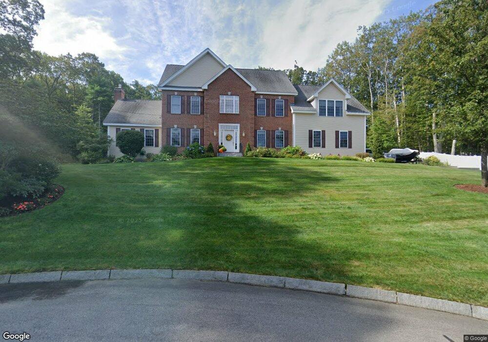
19 Adella Dr Nashua, NH 03063
Northwest Nashua NeighborhoodEstimated Value: $936,000 - $1,174,000
4
Beds
3
Baths
3,969
Sq Ft
$268/Sq Ft
Est. Value
About This Home
This home is located at 19 Adella Dr, Nashua, NH 03063 and is currently estimated at $1,063,047, approximately $267 per square foot. 19 Adella Dr is a home located in Hillsborough County with nearby schools including Charlotte Ave Elementary School, Pennichuck Middle School, and Nashua High School North.
Ownership History
Date
Name
Owned For
Owner Type
Purchase Details
Closed on
Mar 1, 2005
Sold by
Ashwood Dev Co Inc
Bought by
Gregoire Wayne E and Gregoire Rosemary
Current Estimated Value
Home Financials for this Owner
Home Financials are based on the most recent Mortgage that was taken out on this home.
Original Mortgage
$471,670
Outstanding Balance
$239,427
Interest Rate
5.73%
Mortgage Type
Purchase Money Mortgage
Estimated Equity
$823,620
Create a Home Valuation Report for This Property
The Home Valuation Report is an in-depth analysis detailing your home's value as well as a comparison with similar homes in the area
Home Values in the Area
Average Home Value in this Area
Purchase History
| Date | Buyer | Sale Price | Title Company |
|---|---|---|---|
| Gregoire Wayne E | $589,600 | -- |
Source: Public Records
Mortgage History
| Date | Status | Borrower | Loan Amount |
|---|---|---|---|
| Open | Gregoire Wayne E | $100,000 | |
| Closed | Gregoire Wayne E | $89,000 | |
| Open | Gregoire Wayne E | $471,670 |
Source: Public Records
Tax History
| Year | Tax Paid | Tax Assessment Tax Assessment Total Assessment is a certain percentage of the fair market value that is determined by local assessors to be the total taxable value of land and additions on the property. | Land | Improvement |
|---|---|---|---|---|
| 2024 | $16,008 | $1,006,800 | $192,200 | $814,600 |
| 2023 | $15,295 | $839,000 | $153,700 | $685,300 |
| 2022 | $15,161 | $839,000 | $153,700 | $685,300 |
| 2021 | $13,960 | $601,200 | $112,700 | $488,500 |
| 2020 | $13,647 | $603,600 | $112,700 | $490,900 |
| 2019 | $13,134 | $603,600 | $112,700 | $490,900 |
| 2018 | $12,734 | $600,400 | $112,700 | $487,700 |
| 2017 | $13,372 | $518,500 | $109,500 | $409,000 |
| 2016 | $12,999 | $518,500 | $109,500 | $409,000 |
| 2015 | $12,719 | $518,500 | $109,500 | $409,000 |
| 2014 | $12,470 | $518,500 | $109,500 | $409,000 |
Source: Public Records
Map
Nearby Homes
- 43 Hawkstead Hollow Unit U34
- 3 Cranleigh Mews Unit U297
- 46 Andover Down Unit U286
- 26 Sunapee St
- 7 Bradford St
- 33 Cannongate Rd Unit 33
- 5 Dumaine Ave Unit B
- 5 Dumaine Ave Unit N
- 75 Deerwood Dr Unit B
- 8 Crown Point Cir
- 26 Mindy Place
- 201 Millwright Dr
- 2 Roedean Dr Unit UA303
- 36 Profile Cir
- 6 Knights Bridge Dr Unit J101
- 7 Mount Vernon St
- 3 Paddington Place
- 54 Dunbarton Dr
- 38 Bell St
- 44 Broad St
- 17 Adella Dr
- 6 Suffolk Park Unit U363
- 6 Suffolk Park Unit 6
- 7 Grasmere Ln Unit U351
- 16 Adella Dr
- 15 Adella Dr
- 14 Adella Dr
- 9 Grasmere Ln Unit U352
- 15 Marblehead Dr Unit U498
- 4 Suffolk Park Unit U362
- 11 Grasmere Ln Unit U353
- 5 Suffolk Park Unit U364
- 7 Suffolk Park Unit U365
- 14 Marblehead Dr Unit U497
- 3 Suffolk Park Unit U361
- 5 Ipswich Cir Unit U293
- 11 Adella Dr
- 12 Adella Dr
- 7 Ipswich Cir Unit U292
- 14 Grasmere Ln Unit U354