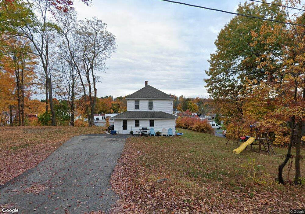
19 Alhambra Rd West Boylston, MA 01583
Estimated Value: $393,290 - $486,000
3
Beds
1
Bath
1,288
Sq Ft
$341/Sq Ft
Est. Value
About This Home
This home is located at 19 Alhambra Rd, West Boylston, MA 01583 and is currently estimated at $439,823, approximately $341 per square foot. 19 Alhambra Rd is a home located in Worcester County with nearby schools including Major Edwards Elementary School, West Boylston Junior/Senior High School, and Abby Kelley Foster Charter Public School.
Ownership History
Date
Name
Owned For
Owner Type
Purchase Details
Closed on
Dec 18, 2009
Sold by
Meola James M
Bought by
Meola Anna Marie
Current Estimated Value
Home Financials for this Owner
Home Financials are based on the most recent Mortgage that was taken out on this home.
Original Mortgage
$80,000
Outstanding Balance
$52,448
Interest Rate
5%
Mortgage Type
Purchase Money Mortgage
Estimated Equity
$387,375
Create a Home Valuation Report for This Property
The Home Valuation Report is an in-depth analysis detailing your home's value as well as a comparison with similar homes in the area
Home Values in the Area
Average Home Value in this Area
Purchase History
| Date | Buyer | Sale Price | Title Company |
|---|---|---|---|
| Meola Anna Marie | -- | -- |
Source: Public Records
Mortgage History
| Date | Status | Borrower | Loan Amount |
|---|---|---|---|
| Open | Meola Anna Marie | $80,000 |
Source: Public Records
Tax History Compared to Growth
Tax History
| Year | Tax Paid | Tax Assessment Tax Assessment Total Assessment is a certain percentage of the fair market value that is determined by local assessors to be the total taxable value of land and additions on the property. | Land | Improvement |
|---|---|---|---|---|
| 2025 | $41 | $297,500 | $78,100 | $219,400 |
| 2024 | $3,869 | $261,800 | $75,400 | $186,400 |
| 2023 | $4,186 | $268,700 | $74,800 | $193,900 |
| 2022 | $3,646 | $206,200 | $72,100 | $134,100 |
| 2021 | $3,576 | $193,700 | $73,000 | $120,700 |
| 2020 | $3,330 | $179,200 | $73,000 | $106,200 |
| 2019 | $3,282 | $174,100 | $73,000 | $101,100 |
| 2018 | $3,143 | $167,900 | $73,000 | $94,900 |
| 2017 | $3,117 | $165,800 | $73,000 | $92,800 |
| 2016 | $2,946 | $159,700 | $63,300 | $96,400 |
| 2015 | $2,898 | $158,000 | $62,600 | $95,400 |
Source: Public Records
Map
Nearby Homes
- 1 Highland Ave
- 39 Davidson Rd
- 12 Birchbrush Ln
- 33 Meola Ave
- 39 Meola Ave
- 33 Isleboro St
- 740 Burncoat St Unit B
- 29 Isleboro St
- 1110 W Boylston St Unit A
- 1097 W Boylston St
- 44 Dixfield St
- 156 Hillside Village Dr
- 22 Danielles Way
- 26 Danielles Way
- 31 Danielles Way
- 62 Maple St
- 83 Hillside Village Dr
- 59 Santoro Rd
- 9 Idalla Ave
- 54 Maple St
- 294 W Boylston St
- 306 W Boylston St
- 5 Alhambra Rd
- 24 Alhambra Rd
- 288 W Boylston St
- 308 W Boylston St
- 26 Alhambra Rd
- 278 W Boylston St
- 287 W Boylston St
- 2 Bowles Ave
- 6 Lebanon Ave
- 9 Lebanon Ave
- 29 Woodland St
- 6 Bowles Ave
- 0 Westland Cir
- 7 Lombard Ave
- 44 Woodland St
- 40 Woodland St
- 277 W Boylston St
- 60 Woodland St