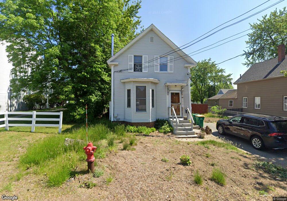
19 Allen St Rochester, NH 03867
Estimated Value: $347,000 - $394,000
2
Beds
2
Baths
1,182
Sq Ft
$318/Sq Ft
Est. Value
About This Home
This home is located at 19 Allen St, Rochester, NH 03867 and is currently estimated at $376,326, approximately $318 per square foot. 19 Allen St is a home located in Strafford County with nearby schools including Chamberlain Street School, Rochester Middle School, and Spaulding High School.
Ownership History
Date
Name
Owned For
Owner Type
Purchase Details
Closed on
Jul 22, 2011
Sold by
Fhlmc
Bought by
Griswold William C and Hancock Annie
Current Estimated Value
Home Financials for this Owner
Home Financials are based on the most recent Mortgage that was taken out on this home.
Original Mortgage
$96,490
Outstanding Balance
$66,320
Interest Rate
4.49%
Mortgage Type
Purchase Money Mortgage
Estimated Equity
$310,006
Purchase Details
Closed on
Apr 1, 2003
Sold by
Trask Carol E
Bought by
Young James A
Home Financials for this Owner
Home Financials are based on the most recent Mortgage that was taken out on this home.
Original Mortgage
$136,852
Interest Rate
5.91%
Purchase Details
Closed on
Mar 2, 2001
Sold by
Ellis Leo W
Bought by
Trask Carol E
Create a Home Valuation Report for This Property
The Home Valuation Report is an in-depth analysis detailing your home's value as well as a comparison with similar homes in the area
Home Values in the Area
Average Home Value in this Area
Purchase History
| Date | Buyer | Sale Price | Title Company |
|---|---|---|---|
| Griswold William C | $49,500 | -- | |
| Young James A | $139,000 | -- | |
| Trask Carol E | $120,000 | -- |
Source: Public Records
Mortgage History
| Date | Status | Borrower | Loan Amount |
|---|---|---|---|
| Open | Trask Carol E | $96,490 | |
| Previous Owner | Trask Carol E | $136,852 |
Source: Public Records
Tax History Compared to Growth
Tax History
| Year | Tax Paid | Tax Assessment Tax Assessment Total Assessment is a certain percentage of the fair market value that is determined by local assessors to be the total taxable value of land and additions on the property. | Land | Improvement |
|---|---|---|---|---|
| 2024 | $5,111 | $344,200 | $76,000 | $268,200 |
| 2023 | $4,921 | $191,200 | $45,800 | $145,400 |
| 2022 | $4,834 | $191,200 | $45,800 | $145,400 |
| 2021 | $4,713 | $191,200 | $45,800 | $145,400 |
| 2020 | $4,715 | $191,600 | $45,800 | $145,800 |
| 2019 | $4,771 | $191,600 | $45,800 | $145,800 |
| 2018 | $4,365 | $158,600 | $31,500 | $127,100 |
| 2017 | $4,176 | $158,600 | $31,500 | $127,100 |
| 2016 | $3,891 | $137,700 | $31,500 | $106,200 |
| 2015 | $3,876 | $137,700 | $31,500 | $106,200 |
| 2014 | $3,783 | $137,700 | $31,500 | $106,200 |
| 2013 | $3,812 | $144,600 | $43,300 | $101,300 |
| 2012 | $3,713 | $144,600 | $43,300 | $101,300 |
Source: Public Records
Map
Nearby Homes
- 86 Wakefield St
- 10 Sarah Ct
- 10 Lady Slipper Ct
- 47 Hanson St
- 45 Hanson St
- 67 Winter St
- 157 Wakefield St
- 57 Congress St
- 161 N Main St
- 1 Farrington St
- 0 Washington St
- 38 Western Ave
- 16 Springfield Ct
- 15 Linden St
- 51 Chestnut St
- 56 Chamberlain St
- 0 Franklin St Unit 55 4959653
- 22 Corson St
- 518 & 532 Portland St
- 35 Franklin Heights