19 Arrowwood Cir Rye Brook, NY 10573
Purchase NeighborhoodEstimated Value: $954,698 - $1,096,000
3
Beds
3
Baths
1,900
Sq Ft
$544/Sq Ft
Est. Value
About This Home
This home is located at 19 Arrowwood Cir, Rye Brook, NY 10573 and is currently estimated at $1,034,425, approximately $544 per square foot. 19 Arrowwood Cir is a home located in Westchester County with nearby schools including Bruno M. Ponterio Ridge Street School, Blind Brook Rye Middle School, and Blind Brook High School.
Ownership History
Date
Name
Owned For
Owner Type
Purchase Details
Closed on
Jun 14, 2013
Sold by
S T Property Holdings Inc
Bought by
Brossman Blake and Brossman Bree
Current Estimated Value
Purchase Details
Closed on
Jul 15, 2008
Sold by
Kamenstein David and Kamenstein Carol
Bought by
S T Property Holdings Inc
Purchase Details
Closed on
Mar 11, 1996
Sold by
Doral Greens Ltd Partnership
Bought by
Kamenstein David and Kamenstein Carol
Create a Home Valuation Report for This Property
The Home Valuation Report is an in-depth analysis detailing your home's value as well as a comparison with similar homes in the area
Home Values in the Area
Average Home Value in this Area
Purchase History
| Date | Buyer | Sale Price | Title Company |
|---|---|---|---|
| Brossman Blake | $625,000 | Grand Capital Title Agency | |
| S T Property Holdings Inc | -- | Madison Title Agency | |
| Kamenstein David | $428,357 | -- |
Source: Public Records
Tax History
| Year | Tax Paid | Tax Assessment Tax Assessment Total Assessment is a certain percentage of the fair market value that is determined by local assessors to be the total taxable value of land and additions on the property. | Land | Improvement |
|---|---|---|---|---|
| 2024 | $24,536 | $858,300 | $254,300 | $604,000 |
| 2023 | $22,493 | $858,300 | $242,200 | $616,100 |
| 2022 | $22,992 | $817,400 | $242,200 | $575,200 |
| 2021 | $22,748 | $786,000 | $242,200 | $543,800 |
| 2020 | $20,361 | $786,000 | $242,200 | $543,800 |
| 2019 | $38,058 | $795,900 | $348,800 | $447,100 |
| 2018 | $14,326 | $780,300 | $341,400 | $438,900 |
| 2017 | $0 | $779,700 | $337,400 | $442,300 |
| 2016 | $23,399 | $597,200 | $218,500 | $378,700 |
| 2015 | -- | $669,900 | $247,400 | $422,500 |
| 2014 | -- | $613,500 | $227,300 | $386,200 |
| 2013 | -- | $534,400 | $135,300 | $399,100 |
Source: Public Records
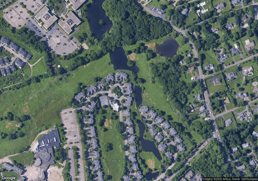
Map
Nearby Homes
- 125 Bowman Dr
- 1 Primrose Ln
- 107 Stonehedge Dr N
- 36 Country Ridge Dr
- 8 Chieftans Rd
- 53 Shady Ln
- 5 Bristol Ln
- 31 Duncan Dr
- 7 Curt Terrace
- 332 Riversville Rd
- 28 Thunder Mountain Rd
- 189 Riversville Rd
- 105 Glenville St
- 120 Brush Hollow Crescent
- 40 Thunder Mountain Rd
- 21 Lincoln Ln
- 40 Ettl Ln Unit 17
- 161 Pecksland Rd
- 45 Ettl Ln Unit 205
- 37 Greenway Ln
- 21 Arrowwood Cir
- 17 Arrowwood Cir
- 23 Arrowwood Cir
- 25 Arrowwood Cir
- 9 Arrowwood Cir
- 11 Arrowwood Cir
- 7 Arrowwood Cir
- 27 Arrowwood Cir Unit 134
- 29 Arrowwood Cir
- 3 Arrowwood Cir
- 31 Arrowwood Cir
- 1 Arrowwood Cir Unit 139
- 33 Arrowwood Cir
- 35 Arrowwood Cir Unit 133
- 37 Arrowwood Cir
- 39 Arrowwood Cir
- 33 Doral Greens Dr W
- 43 Arrowwood Cir
- 41 Arrowwood Cir
- 49 Arrowwood Cir
Your Personal Tour Guide
Ask me questions while you tour the home.