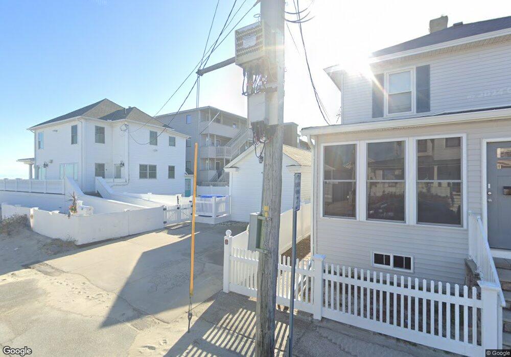
19 Atlantic Ave Unit 5 Hampton, NH 03842
Estimated Value: $570,280 - $645,000
2
Beds
1
Bath
764
Sq Ft
$793/Sq Ft
Est. Value
About This Home
This home is located at 19 Atlantic Ave Unit 5, Hampton, NH 03842 and is currently estimated at $605,820, approximately $792 per square foot. 19 Atlantic Ave Unit 5 is a home located in Rockingham County with nearby schools including Hampton Centre School, Adeline C. Marston Elementary School, and Hampton Academy.
Ownership History
Date
Name
Owned For
Owner Type
Purchase Details
Closed on
Jun 10, 2025
Sold by
Holleran Candace S
Bought by
Holleran Ft and Holleran
Current Estimated Value
Purchase Details
Closed on
Sep 19, 2011
Sold by
Watson Mary E and Giancristiano Thomas F
Bought by
Holleran Peter M and Holleran Candace S
Purchase Details
Closed on
Nov 1, 1999
Sold by
Ciesluk Debra
Bought by
Watson Mary E
Home Financials for this Owner
Home Financials are based on the most recent Mortgage that was taken out on this home.
Original Mortgage
$132,720
Interest Rate
7.78%
Create a Home Valuation Report for This Property
The Home Valuation Report is an in-depth analysis detailing your home's value as well as a comparison with similar homes in the area
Home Values in the Area
Average Home Value in this Area
Purchase History
| Date | Buyer | Sale Price | Title Company |
|---|---|---|---|
| Holleran Ft | -- | None Available | |
| Holleran Ft | -- | None Available | |
| Holleran Peter M | $320,000 | -- | |
| Holleran Peter M | $320,000 | -- | |
| Watson Mary E | $166,000 | -- | |
| Watson Mary E | $166,000 | -- |
Source: Public Records
Mortgage History
| Date | Status | Borrower | Loan Amount |
|---|---|---|---|
| Previous Owner | Watson Mary E | $132,720 |
Source: Public Records
Tax History
| Year | Tax Paid | Tax Assessment Tax Assessment Total Assessment is a certain percentage of the fair market value that is determined by local assessors to be the total taxable value of land and additions on the property. | Land | Improvement |
|---|---|---|---|---|
| 2025 | $7,098 | $576,100 | $0 | $576,100 |
| 2024 | $7,098 | $576,100 | $0 | $576,100 |
| 2023 | $5,787 | $345,500 | $0 | $345,500 |
| 2022 | $5,473 | $345,500 | $0 | $345,500 |
| 2021 | $5,473 | $345,500 | $0 | $345,500 |
| 2020 | $5,504 | $345,500 | $0 | $345,500 |
| 2019 | $5,531 | $345,500 | $0 | $345,500 |
| 2018 | $5,756 | $338,200 | $0 | $338,200 |
| 2017 | $5,536 | $338,200 | $0 | $338,200 |
| 2016 | $5,438 | $338,200 | $0 | $338,200 |
| 2015 | $6,235 | $325,400 | $0 | $325,400 |
| 2014 | $5,958 | $325,400 | $0 | $325,400 |
Source: Public Records
Map
Nearby Homes
- 10 Haverhill Ave Unit 1
- 10 Haverhill Ave Unit 2
- 169 Ashworth Ave
- 7 Dover Ave
- 14 Dover Ave Unit 1
- 14 Dover Ave Unit 3
- 3 Perkins Ave Unit 1
- 15 Riverview Terrace
- 3 Harris Ave
- 128 Ashworth Ave Unit 303
- 19 F St
- 8 Portsmouth Ave
- 6 Ashworth Ave Unit G1
- 12 Kentville Terrace
- 19-21 Kentville Terrace
- 27 Kentville Terrace
- 190 Island Path
- 108 Ocean Dr Unit 1
- 377 Ocean Blvd Unit 16
- 78 Pembroke St
- 19 Atlantic Ave Unit 9
- 19 Atlantic Ave Unit 8
- 19 Atlantic Ave Unit 7
- 19 Atlantic Ave Unit 6
- 19 Atlantic Ave Unit 4
- 19 Atlantic Ave Unit 3
- 19 Atlantic Ave Unit 20
- 19 Atlantic Ave Unit 2
- 19 Atlantic Ave
- 19 Atlantic Ave Unit 18
- 19 Atlantic Ave Unit 17
- 19 Atlantic Ave Unit 16
- 19 Atlantic Ave Unit 15
- 19 Atlantic Ave Unit 14
- 19 Atlantic Ave Unit 13
- 19 Atlantic Ave Unit 12
- 19 Atlantic Ave Unit 11
- 19 Atlantic Ave Unit 10
- 19 Atlantic Ave Unit 1
- 19 Atlantic Ave
Your Personal Tour Guide
Ask me questions while you tour the home.