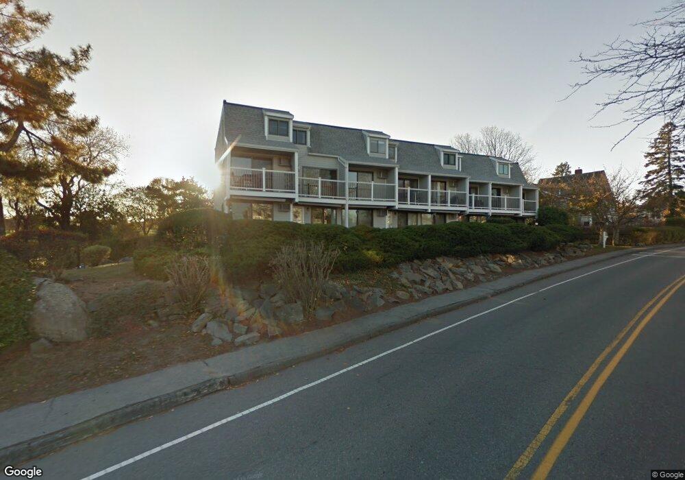
19 Atlantic Rd Unit 29 Gloucester, MA 01930
East Gloucester NeighborhoodEstimated Value: $517,269 - $576,000
2
Beds
2
Baths
996
Sq Ft
$551/Sq Ft
Est. Value
About This Home
This home is located at 19 Atlantic Rd Unit 29, Gloucester, MA 01930 and is currently estimated at $548,317, approximately $550 per square foot. 19 Atlantic Rd Unit 29 is a home located in Essex County with nearby schools including East Gloucester Elementary School, Ralph B O'maley Middle School, and Gloucester High School.
Ownership History
Date
Name
Owned For
Owner Type
Purchase Details
Closed on
Dec 17, 2001
Sold by
Meyers Kirstin E and Osiro Sergio S
Bought by
Brandt Harvey E and Brandt Ellen S
Current Estimated Value
Home Financials for this Owner
Home Financials are based on the most recent Mortgage that was taken out on this home.
Original Mortgage
$199,000
Interest Rate
6.6%
Mortgage Type
Purchase Money Mortgage
Create a Home Valuation Report for This Property
The Home Valuation Report is an in-depth analysis detailing your home's value as well as a comparison with similar homes in the area
Home Values in the Area
Average Home Value in this Area
Purchase History
| Date | Buyer | Sale Price | Title Company |
|---|---|---|---|
| Brandt Harvey E | $229,000 | -- |
Source: Public Records
Mortgage History
| Date | Status | Borrower | Loan Amount |
|---|---|---|---|
| Open | Brandt Harvey E | $185,000 | |
| Closed | Brandt Harvey E | $199,000 |
Source: Public Records
Tax History
| Year | Tax Paid | Tax Assessment Tax Assessment Total Assessment is a certain percentage of the fair market value that is determined by local assessors to be the total taxable value of land and additions on the property. | Land | Improvement |
|---|---|---|---|---|
| 2025 | $4,756 | $489,300 | $0 | $489,300 |
| 2024 | $4,462 | $458,600 | $0 | $458,600 |
| 2023 | $4,605 | $434,800 | $0 | $434,800 |
| 2022 | $4,407 | $375,700 | $0 | $375,700 |
| 2021 | $4,451 | $357,800 | $0 | $357,800 |
| 2020 | $4,412 | $357,800 | $0 | $357,800 |
| 2019 | $4,002 | $315,400 | $0 | $315,400 |
| 2018 | $4,069 | $314,700 | $0 | $314,700 |
| 2017 | $3,848 | $291,700 | $0 | $291,700 |
| 2016 | $3,657 | $268,700 | $0 | $268,700 |
| 2015 | $3,590 | $263,000 | $0 | $263,000 |
Source: Public Records
Map
Nearby Homes
- 5 Wise Place
- 3 Mondello Square
- 26 Marina Dr
- 70 Old Nugent Farm Rd
- 36 Eastern Ave
- 78 Thatcher Rd Unit 6
- 25 Salt Island Rd
- 197 E Main St Unit 1
- 32 Witham St Unit B
- 139A Prospect St
- 10 Seaview Rd
- 60 Rocky Neck Ave Unit 202
- 73 Rocky Neck Ave Unit 2
- 19 Trask St Unit 2
- 191 Main St Unit 3
- 191 Main St Unit 2A
- 50 Warner St
- 1 Wonson St
- 113 Pleasant St
- 11 Ocean View Dr
- 19 Atlantic Rd Unit 19
- 19 Atlantic Rd Unit 33
- 19 Atlantic Rd Unit 32
- 19 Atlantic Rd Unit 31
- 19 Atlantic Rd Unit 30
- 19 Atlantic Rd Unit 28
- 19 Atlantic Rd Unit 27
- 19 Atlantic Rd Unit 26
- 19 Atlantic Rd Unit 25
- 19 Atlantic Rd Unit 24
- 19 Atlantic Rd Unit 23
- 19 Atlantic Rd Unit 22G
- 19 Atlantic Rd Unit 21
- 19 Atlantic Rd Unit 20
- 19 Atlantic Rd
- 19 Atlantic Rd Unit 18
- 19 Atlantic Rd Unit 17
- 19 Atlantic Rd Unit 16
- 19 Atlantic Rd Unit 15
- 19 Atlantic Rd Unit 14
Your Personal Tour Guide
Ask me questions while you tour the home.