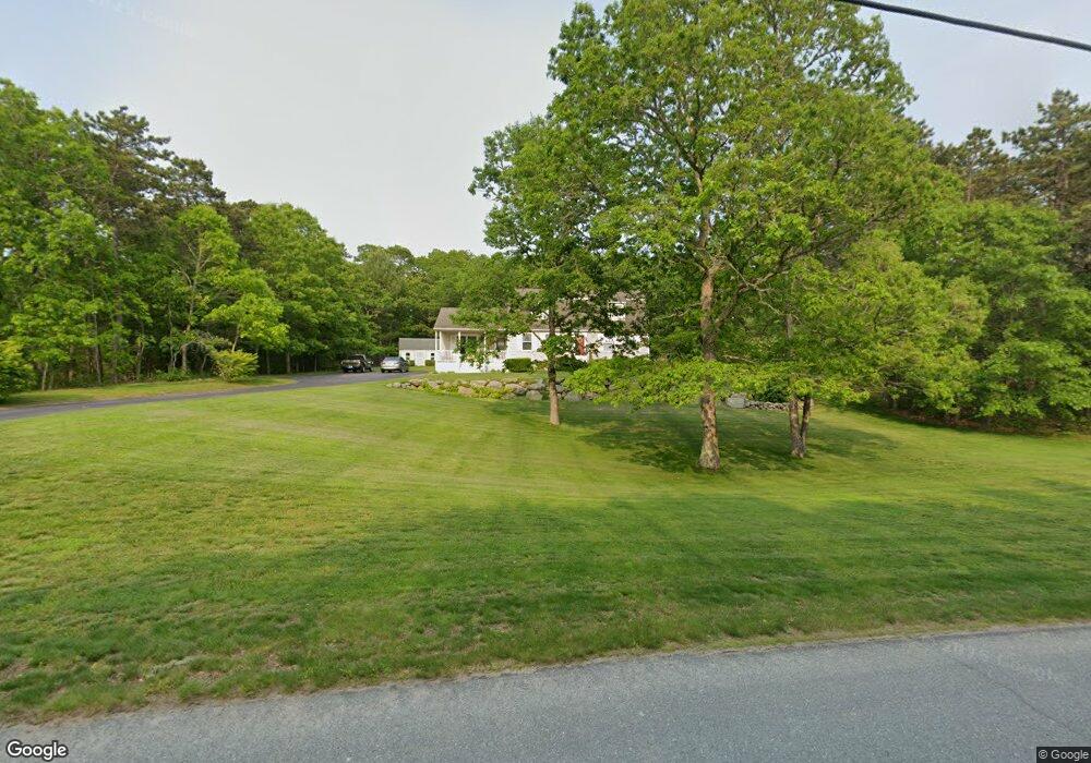
19 Auburn Dr Charlestown, RI 02813
Estimated Value: $700,000 - $734,000
3
Beds
2
Baths
2,052
Sq Ft
$350/Sq Ft
Est. Value
About This Home
This home is located at 19 Auburn Dr, Charlestown, RI 02813 and is currently estimated at $717,800, approximately $349 per square foot. 19 Auburn Dr is a home located in Washington County with nearby schools including Chariho Regional Middle School and Chariho High School.
Ownership History
Date
Name
Owned For
Owner Type
Purchase Details
Closed on
Oct 17, 1994
Sold by
Dartmouth Homes Inc
Bought by
Sager Robert A and Sager Evelyn
Current Estimated Value
Home Financials for this Owner
Home Financials are based on the most recent Mortgage that was taken out on this home.
Original Mortgage
$100,000
Interest Rate
8.43%
Create a Home Valuation Report for This Property
The Home Valuation Report is an in-depth analysis detailing your home's value as well as a comparison with similar homes in the area
Home Values in the Area
Average Home Value in this Area
Purchase History
| Date | Buyer | Sale Price | Title Company |
|---|---|---|---|
| Sager Robert A | $130,000 | -- |
Source: Public Records
Mortgage History
| Date | Status | Borrower | Loan Amount |
|---|---|---|---|
| Open | Sager Robert A | $80,810 | |
| Closed | Sager Robert A | $96,000 | |
| Closed | Sager Robert A | $100,000 |
Source: Public Records
Tax History Compared to Growth
Tax History
| Year | Tax Paid | Tax Assessment Tax Assessment Total Assessment is a certain percentage of the fair market value that is determined by local assessors to be the total taxable value of land and additions on the property. | Land | Improvement |
|---|---|---|---|---|
| 2025 | $3,200 | $539,700 | $164,800 | $374,900 |
| 2024 | $3,119 | $539,700 | $164,800 | $374,900 |
| 2023 | $3,098 | $539,700 | $164,800 | $374,900 |
| 2022 | $3,103 | $379,800 | $117,700 | $262,100 |
| 2021 | $3,107 | $379,800 | $117,700 | $262,100 |
| 2020 | $3,081 | $374,400 | $117,700 | $256,700 |
| 2019 | $3,083 | $334,000 | $117,700 | $216,300 |
| 2018 | $3,220 | $334,000 | $117,700 | $216,300 |
| 2017 | $3,203 | $334,000 | $117,700 | $216,300 |
| 2016 | $3,132 | $306,800 | $92,400 | $214,400 |
| 2015 | $3,102 | $306,800 | $92,400 | $214,400 |
| 2014 | $3,037 | $306,800 | $92,400 | $214,400 |
Source: Public Records
Map
Nearby Homes
- 4720 S County Trail
- 154 Black Pond Rd
- 50 Indian Trail
- 4960 S County Trail
- 20 Indian Trail
- 23 Mohawk Trail
- 45 Elizabeth Cooper Dr
- 40 Kingsland Ct Unit 2A
- 14 Lakeside Dr
- 16 Center St
- 0 Falcone Ln
- 350 Narrow Ln
- 4459 Old Post Rd
- 0 Old Post Rd
- 21 Browning Dr
- 154 Alder Rd
- 15 Josephine Dr
- 49 West Way
- 17 Pasquiset Trail
- 108 Balsam Rd