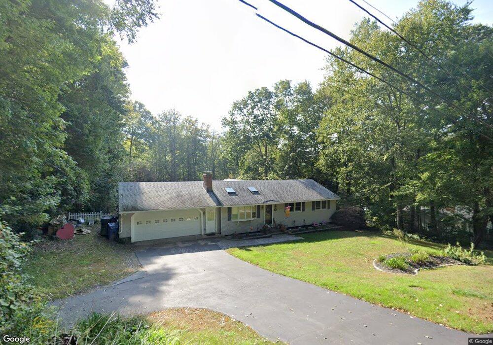
19 Bakos Rd Tolland, CT 06084
Estimated Value: $329,000 - $366,973
3
Beds
2
Baths
1,100
Sq Ft
$321/Sq Ft
Est. Value
About This Home
This home is located at 19 Bakos Rd, Tolland, CT 06084 and is currently estimated at $353,243, approximately $321 per square foot. 19 Bakos Rd is a home located in Tolland County with nearby schools including Birch Grove Primary School, Tolland Intermediate School, and Tolland Middle School.
Ownership History
Date
Name
Owned For
Owner Type
Purchase Details
Closed on
Aug 29, 2000
Sold by
Rose Richard and Rose George
Bought by
Bolton Town Of
Current Estimated Value
Purchase Details
Closed on
Jun 2, 1987
Sold by
Jarvis Richard
Bought by
Mealy Thomas
Home Financials for this Owner
Home Financials are based on the most recent Mortgage that was taken out on this home.
Original Mortgage
$106,320
Interest Rate
10.25%
Mortgage Type
Purchase Money Mortgage
Create a Home Valuation Report for This Property
The Home Valuation Report is an in-depth analysis detailing your home's value as well as a comparison with similar homes in the area
Home Values in the Area
Average Home Value in this Area
Purchase History
| Date | Buyer | Sale Price | Title Company |
|---|---|---|---|
| Bolton Town Of | $865,116 | -- | |
| Bolton Town Of | $865,116 | -- | |
| Mealy Thomas | $132,900 | -- |
Source: Public Records
Mortgage History
| Date | Status | Borrower | Loan Amount |
|---|---|---|---|
| Previous Owner | Mealy Thomas | $81,700 | |
| Previous Owner | Mealy Thomas | $83,200 | |
| Previous Owner | Mealy Thomas | $104,000 | |
| Previous Owner | Mealy Thomas | $106,320 |
Source: Public Records
Tax History Compared to Growth
Tax History
| Year | Tax Paid | Tax Assessment Tax Assessment Total Assessment is a certain percentage of the fair market value that is determined by local assessors to be the total taxable value of land and additions on the property. | Land | Improvement |
|---|---|---|---|---|
| 2025 | $5,577 | $205,100 | $65,700 | $139,400 |
| 2024 | $5,122 | $135,600 | $62,600 | $73,000 |
| 2023 | $5,062 | $135,600 | $62,600 | $73,000 |
| 2022 | $4,960 | $135,600 | $62,600 | $73,000 |
| 2021 | $5,032 | $135,600 | $62,600 | $73,000 |
| 2020 | $4,888 | $135,600 | $62,600 | $73,000 |
| 2019 | $4,694 | $130,200 | $64,500 | $65,700 |
| 2018 | $4,557 | $130,200 | $64,500 | $65,700 |
| 2017 | $4,452 | $130,200 | $64,500 | $65,700 |
| 2016 | $4,452 | $130,200 | $64,500 | $65,700 |
| 2015 | $4,343 | $130,200 | $64,500 | $65,700 |
| 2014 | $4,462 | $143,700 | $71,700 | $72,000 |
Source: Public Records
Map
Nearby Homes
- 131 Barstow Ln
- 6 Dorothea Ln Unit 6
- 461 Old Stafford Rd
- 476 Old Stafford Rd
- 395 Old Stafford Rd
- 89 Wildwood Rd
- 84 Browns Bridge Rd
- 71 Neff Hill Rd
- 100 Neff Hill Rd
- 137 Neff Hill Rd
- 130 Neff Hill Rd
- 105 Neff Hill Rd
- 110 Neff Hill Rd
- 84 Neff Hill Rd
- 77 Neff Hill Rd
- 68 Usher Ridge
- 15 Usher Ridge
- 36 Usher Ridge
- 128 Slater Rd
- 8 Neff Hill Rd
- 25 Bakos Rd
- 13 Bakos Rd
- 5 Bakos Rd
- 31 Bakos Rd
- 355 Sugar Hill Rd
- 353 Sugar Hill Rd
- 351 Sugar Hill Rd
- 357 Sugar Hill Rd
- 00 Bakos Rd
- 32 Bakos Rd
- 339 Sugar Hill Rd
- 327 Sugar Hill Rd
- 378 Sugar Hill Rd
- 329 Sugar Hill Rd
- 367 Sugar Hill Rd
- 388 Sugar Hill Rd
- 375 Sugar Hill Rd
- 323 Sugar Hill Rd
- 317 Sugar Hill Rd
- 399 Sugar Hill Rd