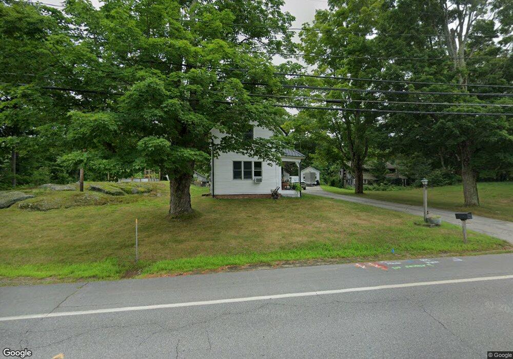
19 Barnstead Rd Pittsfield, NH 03263
Estimated Value: $359,000 - $394,000
2
Beds
2
Baths
1,590
Sq Ft
$235/Sq Ft
Est. Value
About This Home
This home is located at 19 Barnstead Rd, Pittsfield, NH 03263 and is currently estimated at $373,253, approximately $234 per square foot. 19 Barnstead Rd is a home located in Merrimack County with nearby schools including Pittsfield Elementary School and Pittsfield High School.
Ownership History
Date
Name
Owned For
Owner Type
Purchase Details
Closed on
Jan 28, 2002
Sold by
Ghilardi Mary-Ann L
Bought by
Ohara Arthur J and Ohara Sarah E
Current Estimated Value
Home Financials for this Owner
Home Financials are based on the most recent Mortgage that was taken out on this home.
Original Mortgage
$121,250
Interest Rate
7.08%
Create a Home Valuation Report for This Property
The Home Valuation Report is an in-depth analysis detailing your home's value as well as a comparison with similar homes in the area
Home Values in the Area
Average Home Value in this Area
Purchase History
| Date | Buyer | Sale Price | Title Company |
|---|---|---|---|
| Ohara Arthur J | $125,000 | -- |
Source: Public Records
Mortgage History
| Date | Status | Borrower | Loan Amount |
|---|---|---|---|
| Open | Ohara Arthur J | $205,810 | |
| Closed | Ohara Arthur J | $121,250 |
Source: Public Records
Tax History Compared to Growth
Tax History
| Year | Tax Paid | Tax Assessment Tax Assessment Total Assessment is a certain percentage of the fair market value that is determined by local assessors to be the total taxable value of land and additions on the property. | Land | Improvement |
|---|---|---|---|---|
| 2024 | $6,595 | $220,800 | $74,500 | $146,300 |
| 2023 | $5,513 | $220,800 | $74,500 | $146,300 |
| 2022 | $5,015 | $210,900 | $74,500 | $136,400 |
| 2020 | $4,976 | $201,300 | $74,500 | $126,800 |
| 2019 | $5,869 | $178,600 | $79,800 | $98,800 |
| 2018 | $5,956 | $178,600 | $79,800 | $98,800 |
| 2017 | $5,976 | $178,600 | $79,800 | $98,800 |
| 2016 | $5,760 | $178,600 | $79,800 | $98,800 |
| 2015 | $5,408 | $178,600 | $79,800 | $98,800 |
| 2014 | $4,381 | $150,400 | $51,900 | $98,500 |
| 2013 | $4,682 | $152,100 | $51,900 | $100,200 |
Source: Public Records
Map
Nearby Homes
- 4 Berry Ave
- 8 Depot St
- 110 Main St
- 46 Clark St
- 138 Bailey Dr
- 93 Fairview Dr
- 51 Swett Rd
- 721 Province Rd
- L33 Province Rd
- 0 Shaw Rd Unit 36-1
- 371 Province Rd
- 127 Kaime Rd
- 28 Sanderson Dr
- 0 Dowboro Rd
- 116 Webster Mills Rd
- 1457 Upper City Rd
- 260 Garland Rd
- M1L52S3 Garland Rd
- Lot 16-4 Catamount Rd
- 18 Catamount Rd
- 13 Barnstead Rd
- 28 Barnstead Rd
- L2 Barnstead Rd
- 30 Tilton Hill Rd
- 26 Tilton Hill Rd
- 20 Tilton Hill Rd
- 8 Catamount Rd
- 42 Tilton Hill Rd
- 10 Catamount Rd
- 14 Tilton Hill Rd
- 50 Tilton Hill Rd
- 1 Berry Ave
- 47 Carroll St
- 2 Manchester St
- 3 Berry Ave
- 7 Berry Ave
- 1 Manchester St
- 6 Tilton Hill Rd
- 56 Tilton Hill Rd
- 9 Berry Ave