19 Bates Grove Rd Webster, MA 01570
Estimated Value: $1,037,000 - $1,233,000
Studio
1
Bath
--
Sq Ft
0.65
Acres Lot
About This Home
This home is located at 19 Bates Grove Rd, Webster, MA 01570 and is currently estimated at $1,105,030. 19 Bates Grove Rd is a home located in Worcester County with nearby schools including Park Avenue Elementary School, Webster Middle School, and Bartlett High School.
Ownership History
Date
Name
Owned For
Owner Type
Purchase Details
Closed on
Nov 9, 2020
Sold by
Peterson Karin E
Bought by
Karin Peterson Ret
Current Estimated Value
Purchase Details
Closed on
Feb 11, 2016
Sold by
Peterson Karin E and Peterson Virginia M
Bought by
Peterson Karin E
Purchase Details
Closed on
Nov 8, 2012
Sold by
Peterson Jeffrey S and Peterson Karin E
Bought by
Virginia M Peterson T
Create a Home Valuation Report for This Property
The Home Valuation Report is an in-depth analysis detailing your home's value as well as a comparison with similar homes in the area
Home Values in the Area
Average Home Value in this Area
Purchase History
We collect this data history from publicly available records. To have your information removed, we recommend requesting removal directly through your county’s website.
| Date | Buyer | Sale Price | Title Company |
|---|---|---|---|
| Karin Peterson Ret | -- | None Available | |
| Peterson Karin E | -- | -- | |
| Virginia M Peterson T | -- | -- |
Source: Public Records
Tax History
| Year | Tax Paid | Tax Assessment Tax Assessment Total Assessment is a certain percentage of the fair market value that is determined by local assessors to be the total taxable value of land and additions on the property. | Land | Improvement |
|---|---|---|---|---|
| 2025 | $9,872 | $831,000 | $647,900 | $183,100 |
| 2024 | $8,843 | $726,000 | $563,800 | $162,200 |
| 2023 | $8,438 | $675,000 | $536,800 | $138,200 |
| 2022 | $8,281 | $593,200 | $477,400 | $115,800 |
| 2021 | $8,725 | $577,800 | $477,400 | $100,400 |
| 2020 | $8,584 | $570,000 | $477,400 | $92,600 |
| 2019 | $8,663 | $565,100 | $477,400 | $87,700 |
| 2018 | $8,609 | $559,400 | $477,400 | $82,000 |
| 2017 | $8,721 | $576,400 | $483,700 | $92,700 |
| 2016 | $7,605 | $502,300 | $416,500 | $85,800 |
Source: Public Records
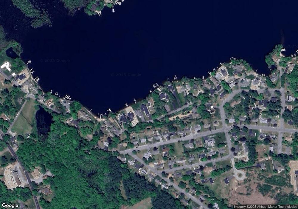
Map
Nearby Homes
- 20 Elaine St
- 18 Leon St
- 6 Lillian Ave
- 56 Sand Dam Rd
- 32 Colonial Rd
- 38 Colonial Rd
- 16 Black Point Rd
- 22 Pattison Rd
- 13 S Point Rd
- 9 Becola Rd
- 8 Freeman Ave
- 25 Lakeview St
- 45 Point Pleasant Rd
- 3 Dominique Dr
- 40 Scenic Ave
- 0 Thompson Rd
- 22 Union Point Rd
- 14 Liberty Ln
- 20 Indian Point Rd
- 204 Treasure Island Rd
- 21 Bates Grove Rd
- 13 Bates Grove Rd
- 23 Bates Grove Rd
- 34 Elaine St
- 36 Elaine St
- 25 Bates Grove Rd
- 32 Elaine St
- 38 Elaine St
- 30 Elaine St
- 0 Elaine St Unit G670871
- 0 Elaine St Unit G10059260
- 0 Elaine St
- 0 Elaine St Unit G644610
- 0 Elaine St Unit G645863
- 9 Bates Grove Rd
- 28 Elaine St
- 27 Bates Grove Rd
- 38 Elaine St
- 26 Elaine St
- 40 Elaine St
Your Personal Tour Guide
Ask me questions while you tour the home.