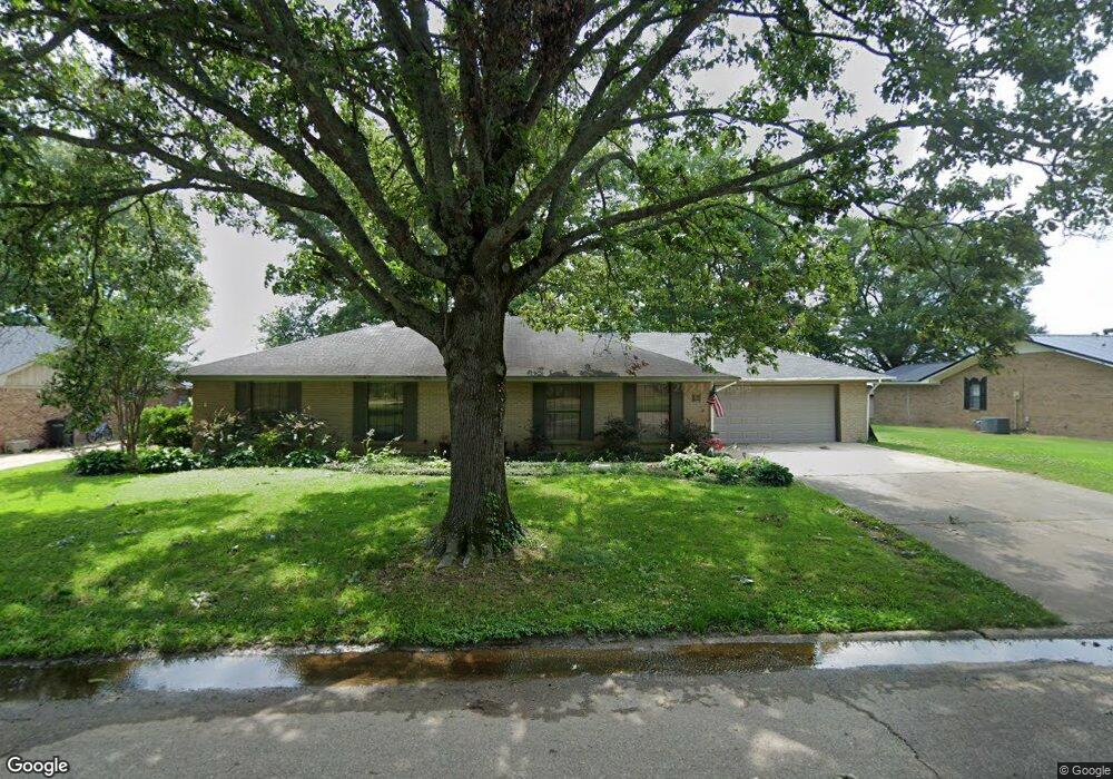
19 Bayou Cove Cir Mc Gehee, AR 71654
Estimated Value: $153,412 - $196,000
--
Bed
2
Baths
1,816
Sq Ft
$95/Sq Ft
Est. Value
About This Home
This home is located at 19 Bayou Cove Cir, Mc Gehee, AR 71654 and is currently estimated at $172,353, approximately $94 per square foot. 19 Bayou Cove Cir is a home located in Desha County with nearby schools including McGehee Elementary School, Conner Middle School, and McGehee High School.
Ownership History
Date
Name
Owned For
Owner Type
Purchase Details
Closed on
Sep 8, 2009
Sold by
Smith Melissa
Bought by
Haddock Marcus and Haddock Kemberly A
Current Estimated Value
Home Financials for this Owner
Home Financials are based on the most recent Mortgage that was taken out on this home.
Original Mortgage
$78,551
Outstanding Balance
$51,606
Interest Rate
5.36%
Mortgage Type
FHA
Estimated Equity
$120,747
Purchase Details
Closed on
May 14, 2003
Bought by
Melissa Gober
Purchase Details
Closed on
May 1, 2003
Bought by
Melissa Smith
Purchase Details
Closed on
Nov 12, 1998
Bought by
Laura Smith
Purchase Details
Closed on
Mar 26, 1981
Bought by
Leonard and Mollie Brown
Create a Home Valuation Report for This Property
The Home Valuation Report is an in-depth analysis detailing your home's value as well as a comparison with similar homes in the area
Home Values in the Area
Average Home Value in this Area
Purchase History
| Date | Buyer | Sale Price | Title Company |
|---|---|---|---|
| Haddock Marcus | $80,000 | None Available | |
| Melissa Gober | -- | -- | |
| Melissa Smith | -- | -- | |
| Laura Smith | $82,900 | -- | |
| Leonard | -- | -- |
Source: Public Records
Mortgage History
| Date | Status | Borrower | Loan Amount |
|---|---|---|---|
| Open | Haddock Marcus | $78,551 |
Source: Public Records
Tax History Compared to Growth
Tax History
| Year | Tax Paid | Tax Assessment Tax Assessment Total Assessment is a certain percentage of the fair market value that is determined by local assessors to be the total taxable value of land and additions on the property. | Land | Improvement |
|---|---|---|---|---|
| 2025 | $1,221 | $23,100 | $3,300 | $19,800 |
| 2024 | $1,221 | $23,100 | $3,300 | $19,800 |
| 2023 | $1,186 | $23,100 | $3,300 | $19,800 |
| 2022 | $994 | $23,100 | $3,300 | $19,800 |
| 2021 | $922 | $21,360 | $3,300 | $18,060 |
| 2020 | $920 | $21,360 | $3,300 | $18,060 |
| 2019 | $920 | $21,360 | $3,300 | $18,060 |
| 2018 | $922 | $21,360 | $3,300 | $18,060 |
| 2017 | $854 | $21,360 | $3,300 | $18,060 |
| 2015 | -- | $19,040 | $3,300 | $15,740 |
| 2014 | -- | $18,640 | $3,300 | $15,340 |
| 2013 | -- | $18,640 | $3,300 | $15,340 |
Source: Public Records
Map
Nearby Homes
- 1608 N 3rd St
- 1108 N 2nd St
- 1 Shannon Dr
- 32 Shannon Dr
- 110 S Adams Ave
- 205 S 2nd St
- 0 Masonville Rd Unit 25037306
- 209 Sherwood St
- Lot 2 S 1st St
- Lot 1 S 1st St
- Lots 6-7 Bush St
- Lot 2 Cypress Gardens
- 109 Ashcraft St
- 604 Highway 65 S
- Vacant land Cater Ln
- 6 Paul St
- 22 Orlando Dr
- 475 S 2nd
- Lot 7 W Matthews St
- 0 N Hardy St