Estimated Value: $349,000
Studio
1
Bath
1,107
Sq Ft
$315/Sq Ft
Est. Value
About This Home
This home is located at 19 Bing Rd, Perry, AR 72125 and is currently estimated at $349,000, approximately $315 per square foot. 19 Bing Rd is a home located in Conway County with nearby schools including Morrilton Primary School, Morrilton Elementary School, and Morrilton Intermediate School.
Ownership History
Date
Name
Owned For
Owner Type
Purchase Details
Closed on
Dec 22, 2017
Sold by
Bingham Jimmy Don and Bingham Iva M
Bought by
Rhodes Griggs Kimberly Diann and Rhodes Griggs Sr Eric
Current Estimated Value
Purchase Details
Closed on
Dec 15, 2017
Sold by
Parker Jimmy Don and Parker Virginia Louise
Bought by
Bingham Charles L and Bingham Iva M
Purchase Details
Closed on
Sep 6, 2007
Sold by
Parker Jimmy Don and Parker Virginia Louise
Bought by
Parker Jimmy Don
Purchase Details
Closed on
Jun 10, 1997
Bought by
Parker Jimmy Don and Parker Virginia
Purchase Details
Closed on
Jul 1, 1993
Bought by
Parker Jimmy Don and Parker Virginia
Create a Home Valuation Report for This Property
The Home Valuation Report is an in-depth analysis detailing your home's value as well as a comparison with similar homes in the area
Purchase History
| Date | Buyer | Sale Price | Title Company |
|---|---|---|---|
| Rhodes Griggs Kimberly Diann | -- | Morrilton Abstract Co Inc | |
| Bingham Charles L | -- | Morrilton Abstract Co Inc | |
| Parker Jimmy Don | -- | -- | |
| Parker Jimmy Don | -- | -- | |
| Parker Jimmy Don | $8,000 | -- |
Source: Public Records
Tax History
| Year | Tax Paid | Tax Assessment Tax Assessment Total Assessment is a certain percentage of the fair market value that is determined by local assessors to be the total taxable value of land and additions on the property. | Land | Improvement |
|---|---|---|---|---|
| 2025 | $8 | $160 | $160 | $0 |
| 2024 | $8 | $160 | $160 | $0 |
| 2023 | $8 | $160 | $160 | $0 |
| 2022 | $8 | $160 | $160 | $0 |
| 2021 | $71 | $1,450 | $1,450 | $0 |
| 2020 | $71 | $1,450 | $1,450 | $0 |
| 2019 | $82 | $6,840 | $2,890 | $3,950 |
| 2018 | $336 | $6,840 | $2,890 | $3,950 |
| 2017 | $0 | $6,600 | $2,650 | $3,950 |
| 2016 | $0 | $6,502 | $2,552 | $3,950 |
| 2015 | -- | $6,231 | $2,281 | $3,950 |
| 2014 | -- | $5,960 | $2,010 | $3,950 |
Source: Public Records
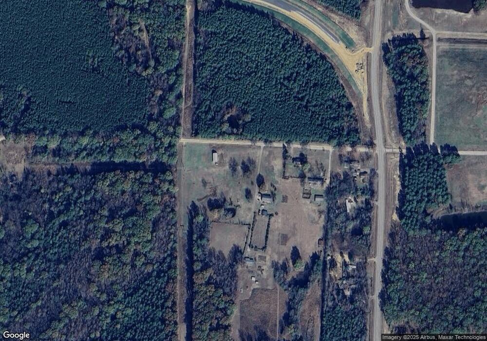
Map
Nearby Homes
- 21 Brents Rd
- 10 Rankin St
- 3546 & 3548 Hwy 154 St
- 23 Bryant Ave
- 394 Copperas Gap Rd
- 7 Tanglewood Ave
- 99 Sandtown Rd
- 67 Turkey Run Loop
- 00 S Burrow St
- 15 Glory Ln
- 903 & 905 S Moose St
- 901 & 902 S Moose St
- 308 5th Ave
- 13 Eugenia St
- 47 Sunset Blvd
- 0 Airport Rd
- 31 Sunny Dr
- 30 Sunny Dr
- 43 Sunset Blvd
- 4 Winthrop Dr
Your Personal Tour Guide
Ask me questions while you tour the home.