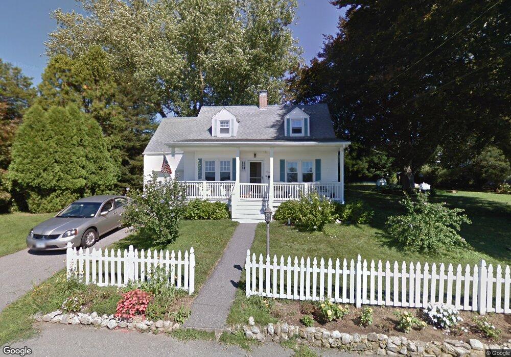
19 Boardsen Rd Groton, CT 06340
Estimated Value: $330,000 - $396,000
2
Beds
1
Bath
1,310
Sq Ft
$279/Sq Ft
Est. Value
About This Home
This home is located at 19 Boardsen Rd, Groton, CT 06340 and is currently estimated at $365,744, approximately $279 per square foot. 19 Boardsen Rd is a home located in New London County with nearby schools including Pleasant Valley School, Groton Middle School, and Robert E. Fitch High School.
Ownership History
Date
Name
Owned For
Owner Type
Purchase Details
Closed on
Sep 29, 1995
Sold by
Force Elizabeth S
Bought by
Dunay Michael and Dunay Elaine
Current Estimated Value
Home Financials for this Owner
Home Financials are based on the most recent Mortgage that was taken out on this home.
Original Mortgage
$92,000
Interest Rate
7.89%
Mortgage Type
Unknown
Create a Home Valuation Report for This Property
The Home Valuation Report is an in-depth analysis detailing your home's value as well as a comparison with similar homes in the area
Home Values in the Area
Average Home Value in this Area
Purchase History
| Date | Buyer | Sale Price | Title Company |
|---|---|---|---|
| Dunay Michael | $115,000 | -- |
Source: Public Records
Mortgage History
| Date | Status | Borrower | Loan Amount |
|---|---|---|---|
| Open | Dunay Michael | $150,000 | |
| Closed | Dunay Michael | $92,000 |
Source: Public Records
Tax History Compared to Growth
Tax History
| Year | Tax Paid | Tax Assessment Tax Assessment Total Assessment is a certain percentage of the fair market value that is determined by local assessors to be the total taxable value of land and additions on the property. | Land | Improvement |
|---|---|---|---|---|
| 2025 | $5,050 | $178,080 | $83,069 | $95,011 |
| 2024 | $4,769 | $178,080 | $83,069 | $95,011 |
| 2023 | $4,594 | $178,080 | $42,350 | $135,730 |
| 2022 | $4,482 | $178,080 | $42,350 | $135,730 |
| 2021 | $4,221 | $141,120 | $42,350 | $98,770 |
| 2020 | $4,231 | $141,120 | $42,350 | $98,770 |
| 2019 | $4,059 | $141,120 | $42,350 | $98,770 |
| 2018 | $4,043 | $141,120 | $42,350 | $98,770 |
| 2017 | $3,829 | $141,120 | $42,350 | $98,770 |
| 2016 | $3,917 | $153,440 | $63,490 | $89,950 |
| 2015 | $3,792 | $153,440 | $63,490 | $89,950 |
| 2014 | $3,649 | $153,440 | $63,490 | $89,950 |
Source: Public Records
Map
Nearby Homes
- 141 Starr Hill Rd
- 21 Grove Ave
- 22 Toll Gate Rd
- 78 Spicer Ave
- 621 Military Hwy
- 132 Thames St Unit R
- 265 Crystal Ave
- 130 Meridian St Unit 313
- 271 Crystal Ave
- 136 Meridian St Unit 110
- 7 Carol Ct
- 62 Slocomb Terrace
- 205 Winding Hollow Rd
- 517-571 Gold Star Hwy
- 95 Murphys Dr Unit 95
- 62 Benham Ave
- 19 Hawthorne Dr Unit 104
- 83 Leafwood Ln Unit 227
- 411 Long Hill Rd
- 262 Mitchell St
- 209 Lestertown Rd
- 31 Boardsen Rd
- 15 Hillside Rd
- 25 Hillside Rd
- 25 Hillside Rd Unit 2nd Floor
- 25 Hillside Rd Unit 1st FL
- 195 Lestertown Rd
- 37 Boardsen Rd
- 35 Hillside Rd
- 220 Lestertown Rd
- 19 Foye Ln
- 181 Lestertown Rd
- 210 Lestertown Rd
- 228 Lestertown Rd
- 49 Boardsen Rd
- 163 Lestertown Rd
- 53 Hillside Rd
- 163 Starr Hill Rd
- 177 Lestertown Rd
- 167 Lestertown Rd