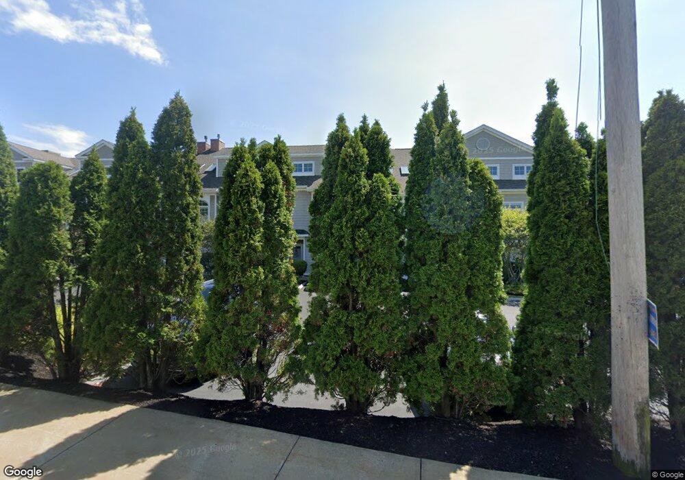
19 Bridge St Unit 10 Kittery, ME 03904
Estimated Value: $468,664
--
Bed
--
Bath
1,480
Sq Ft
$317/Sq Ft
Est. Value
About This Home
This home is located at 19 Bridge St Unit 10, Kittery, ME 03904 and is currently estimated at $468,664, approximately $316 per square foot. 19 Bridge St Unit 10 is a home located in York County with nearby schools including Shapleigh School, Horace Mitchell Primary School, and Robert W Traip Academy.
Ownership History
Date
Name
Owned For
Owner Type
Purchase Details
Closed on
Jun 13, 2022
Sold by
19 Bridge Street Llc
Bought by
Portside Properties Llc
Current Estimated Value
Home Financials for this Owner
Home Financials are based on the most recent Mortgage that was taken out on this home.
Original Mortgage
$178,125
Outstanding Balance
$171,179
Interest Rate
5.1%
Mortgage Type
Purchase Money Mortgage
Create a Home Valuation Report for This Property
The Home Valuation Report is an in-depth analysis detailing your home's value as well as a comparison with similar homes in the area
Home Values in the Area
Average Home Value in this Area
Purchase History
Date | Buyer | Sale Price | Title Company |
---|---|---|---|
Portside Properties Llc | $415,000 | None Available |
Source: Public Records
Mortgage History
Date | Status | Borrower | Loan Amount |
---|---|---|---|
Open | Portside Properties Llc | $178,125 |
Source: Public Records
Tax History Compared to Growth
Tax History
Year | Tax Paid | Tax Assessment Tax Assessment Total Assessment is a certain percentage of the fair market value that is determined by local assessors to be the total taxable value of land and additions on the property. | Land | Improvement |
---|---|---|---|---|
2024 | $3,303 | $232,600 | $75,000 | $157,600 |
2023 | $3,166 | $232,600 | $75,000 | $157,600 |
2022 | $3,135 | $232,600 | $75,000 | $157,600 |
2021 | $3,024 | $232,600 | $75,000 | $157,600 |
2020 | $5,996 | $464,800 | $273,800 | $191,000 |
2019 | $7,579 | $435,600 | $149,400 | $286,200 |
2018 | $6,990 | $435,600 | $149,400 | $286,200 |
2017 | $2,449 | $435,600 | $149,400 | $286,200 |
2016 | $6,991 | $435,600 | $149,400 | $286,200 |
2015 | $6,826 | $435,600 | $149,400 | $286,200 |
2014 | -- | $435,600 | $149,400 | $286,200 |
2013 | $6,630 | $435,600 | $149,400 | $286,200 |
Source: Public Records
Map
Nearby Homes
- 27 Oak Terrace
- 15 Dennett Rd
- 35 Badgers Island W Unit 203
- 35 Badgers Island W Unit 301
- 35 Badgers Island W Unit 204
- 35 Badgers Island W Unit 102
- 35 Badgers Island W Unit 103
- 10 Island Ave Unit 17A
- 10 Island Ave
- 4 Otis Ave
- 6 Lyndon Way
- 27 Government St Unit 27
- 54 Ceres St
- 38 Concord Way
- 40 Concord Way
- 8 Bow St
- 93 High St Unit 4
- 409 The Hill Unit 409
- 11 Rogers Rd
- 35 Sterling Rd
- 19 Bridge St Unit 2
- 19 Bridge St Unit 4
- 19 Bridge St Unit 5
- 19 Bridge St Unit 8
- 19 Bridge St Unit 3
- 19 Bridge St Unit 10
- 19 Bridge St Unit 9
- 19 Bridge St Unit 6
- 19 Bridge St
- 19 Bridge St Unit 7
- 19 Bridge St Unit 1
- 13 Bridge St
- 0 Old Post Road and Route 1
- 24 Old Post Rd
- 11 Bridge St
- 18 Bridge St
- 12 Bridge St
- 12 Bridge St Unit 1
- 12 Bridge St Unit 2