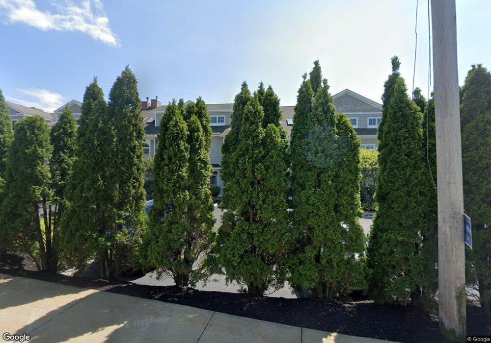
19 Bridge St Unit 6 Kittery, ME 03904
Estimated Value: $977,000 - $1,231,000
3
Beds
3
Baths
2,517
Sq Ft
$436/Sq Ft
Est. Value
About This Home
This home is located at 19 Bridge St Unit 6, Kittery, ME 03904 and is currently estimated at $1,096,626, approximately $435 per square foot. 19 Bridge St Unit 6 is a home located in York County with nearby schools including Shapleigh School, Horace Mitchell Primary School, and Robert W Traip Academy.
Ownership History
Date
Name
Owned For
Owner Type
Purchase Details
Closed on
Sep 8, 2025
Sold by
Danmac Rt and Centauro
Bought by
Centauro David M and Centauro Jill M
Current Estimated Value
Purchase Details
Closed on
May 24, 2022
Sold by
Tocci Lynne
Bought by
Danmac Rt and Centauro
Purchase Details
Closed on
Sep 19, 2008
Sold by
19 Bridge Street Llc
Bought by
Tocci Lynne
Create a Home Valuation Report for This Property
The Home Valuation Report is an in-depth analysis detailing your home's value as well as a comparison with similar homes in the area
Home Values in the Area
Average Home Value in this Area
Purchase History
| Date | Buyer | Sale Price | Title Company |
|---|---|---|---|
| Centauro David M | -- | -- | |
| Danmac Rt | $790,000 | None Available | |
| Danmac Rt | $790,000 | None Available | |
| Danmac Rt | $790,000 | None Available | |
| Tocci Lynne | -- | -- | |
| Tocci Lynne | -- | -- |
Source: Public Records
Tax History
| Year | Tax Paid | Tax Assessment Tax Assessment Total Assessment is a certain percentage of the fair market value that is determined by local assessors to be the total taxable value of land and additions on the property. | Land | Improvement |
|---|---|---|---|---|
| 2024 | $8,166 | $575,100 | $75,000 | $500,100 |
| 2023 | $7,827 | $575,100 | $75,000 | $500,100 |
| 2022 | $7,752 | $575,100 | $75,000 | $500,100 |
| 2021 | $7,476 | $575,100 | $75,000 | $500,100 |
| 2020 | $7,419 | $575,100 | $75,000 | $500,100 |
| 2019 | $7,061 | $405,800 | $66,400 | $339,400 |
| 2018 | $6,512 | $405,800 | $66,400 | $339,400 |
| 2017 | $6,583 | $405,800 | $66,400 | $339,400 |
| 2016 | $6,513 | $405,800 | $66,400 | $339,400 |
| 2015 | $6,359 | $405,800 | $66,400 | $339,400 |
| 2014 | -- | $405,800 | $66,400 | $339,400 |
| 2013 | $6,176 | $405,800 | $66,400 | $339,400 |
Source: Public Records
Map
Nearby Homes
- 27 Oak Terrace
- 25 Oak Terrace
- 30-3 Regency Cir Unit 3
- 35 Badgers Island W Unit 203
- 35 Badgers Island W Unit 301
- 35 Badgers Island W Unit 302
- 35 Badgers Island W Unit 103
- 29 Main St
- 10 Bayview Ln
- 5 Spinney Way Unit 9
- 93 High St Unit 4
- 77 Hanover St Unit 3
- 137 Daniel St Unit D302
- 20 Ladd St Unit K
- 36 State St
- 80 State St Unit 302
- 66 State St Unit 202
- 159 State St Unit 1b
- 18 Congress St Unit 304
- 18 Congress St Unit 302
- 19 Bridge St Unit 2
- 19 Bridge St Unit 4
- 19 Bridge St Unit 5
- 19 Bridge St Unit 8
- 19 Bridge St Unit 3
- 19 Bridge St Unit 10
- 19 Bridge St Unit 9
- 19 Bridge St Unit 6
- 19 Bridge St
- 19 Bridge St Unit 7
- 19 Bridge St Unit 1
- 0 Old Post Road and Route 1
- 24 Old Post Rd
- 22 Bridge St
- 18 Bridge St
- 12 Bridge St
- 12 Bridge St Unit 1
- 12 Bridge St Unit 2
- 12 Bridge St Unit 2
- 12 Bridge St Unit 1
Your Personal Tour Guide
Ask me questions while you tour the home.