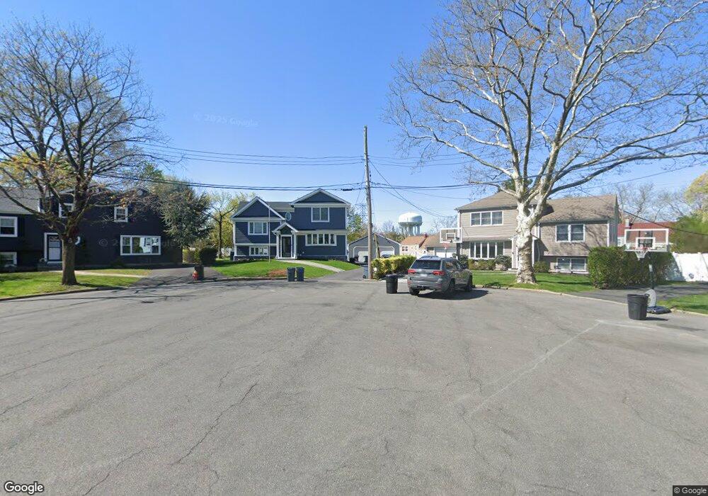
19 Bristol Place Yonkers, NY 10710
Northeast Yonkers NeighborhoodEstimated Value: $611,000 - $729,429
2
Beds
1
Bath
1,192
Sq Ft
$565/Sq Ft
Est. Value
About This Home
This home is located at 19 Bristol Place, Yonkers, NY 10710 and is currently estimated at $673,357, approximately $564 per square foot. 19 Bristol Place is a home located in Westchester County with nearby schools including Annunciation School.
Ownership History
Date
Name
Owned For
Owner Type
Purchase Details
Closed on
May 27, 2016
Sold by
Wolk Robert M and Sun Charlene
Bought by
Delango Jamie and Delango Denis M
Current Estimated Value
Home Financials for this Owner
Home Financials are based on the most recent Mortgage that was taken out on this home.
Original Mortgage
$320,000
Outstanding Balance
$255,429
Interest Rate
3.66%
Mortgage Type
New Conventional
Estimated Equity
$417,928
Purchase Details
Closed on
Dec 29, 2010
Sold by
The Estate Of Andrew Wolk and Wolk Robert M
Bought by
Wolk Robert M and Sun Charlene
Create a Home Valuation Report for This Property
The Home Valuation Report is an in-depth analysis detailing your home's value as well as a comparison with similar homes in the area
Home Values in the Area
Average Home Value in this Area
Purchase History
| Date | Buyer | Sale Price | Title Company |
|---|---|---|---|
| Delango Jamie | $345,000 | Attorney | |
| Wolk Robert M | -- | Benchmark Title |
Source: Public Records
Mortgage History
| Date | Status | Borrower | Loan Amount |
|---|---|---|---|
| Open | Delango Jamie | $320,000 |
Source: Public Records
Tax History Compared to Growth
Tax History
| Year | Tax Paid | Tax Assessment Tax Assessment Total Assessment is a certain percentage of the fair market value that is determined by local assessors to be the total taxable value of land and additions on the property. | Land | Improvement |
|---|---|---|---|---|
| 2024 | $1,951 | $10,951 | $6,800 | $4,151 |
| 2023 | $1,941 | $10,951 | $6,800 | $4,151 |
| 2022 | $1,928 | $10,951 | $6,800 | $4,151 |
| 2021 | $9,523 | $10,951 | $6,800 | $4,151 |
| 2020 | $9,524 | $10,951 | $6,800 | $4,151 |
| 2019 | $12,217 | $10,951 | $6,800 | $4,151 |
| 2018 | $9,012 | $14,000 | $6,800 | $7,200 |
| 2017 | -- | $14,000 | $6,800 | $7,200 |
| 2016 | $12,464 | $14,000 | $6,800 | $7,200 |
| 2015 | -- | $14,000 | $6,800 | $7,200 |
| 2014 | -- | $14,000 | $6,800 | $7,200 |
| 2013 | -- | $14,000 | $6,800 | $7,200 |
Source: Public Records
Map
Nearby Homes
- 15 Bristol Place
- 11 Jackson Ave Unit 4
- 12 Bacon Place
- 49 Gail Rd
- 61 Newport Rd
- 1 Remsen Rd Unit 4J
- 1 Remsen Rd Unit 1F
- 1 Remsen Rd Unit 2F
- 66 Crisfield St Unit 3Y
- 66 Crisfield St Unit 1D
- 66 Crisfield St Unit 3D
- 33 Eisenhower Dr
- 2 Dorchester Dr
- 127 Crisfield St
- 57 Roundtop Rd
- 397 Concord Rd
- 612 E Grassy Sprain Rd Unit 3
- 612 E Grassy Sprain Rd Unit 15
- 48 Elissa Ln
- 74 Chester Dr