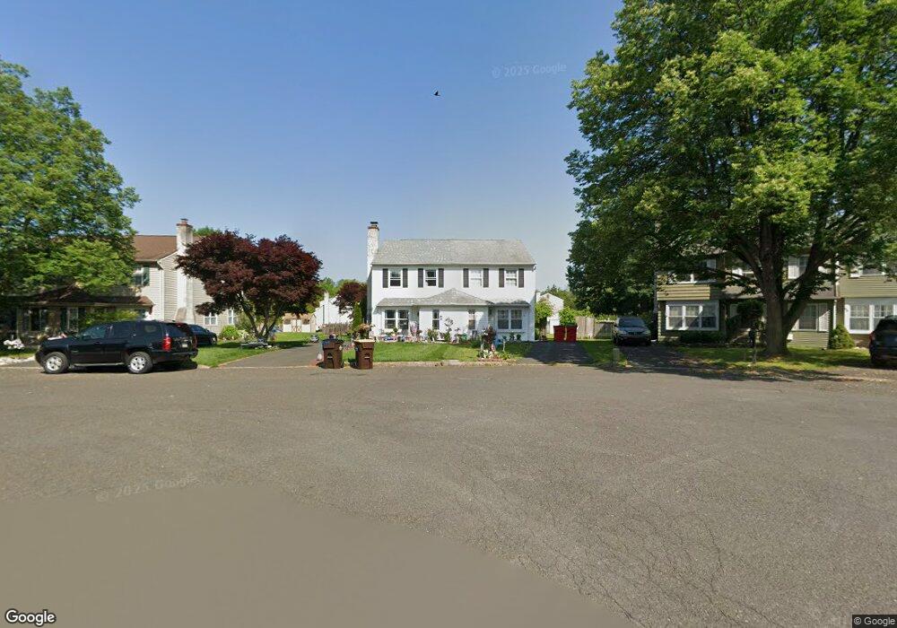
19 Brownstone Dr Horsham, PA 19044
Estimated Value: $398,844 - $454,000
3
Beds
2
Baths
1,396
Sq Ft
$303/Sq Ft
Est. Value
About This Home
This home is located at 19 Brownstone Dr, Horsham, PA 19044 and is currently estimated at $423,461, approximately $303 per square foot. 19 Brownstone Dr is a home located in Montgomery County with nearby schools including Hallowell Elementary School, Keith Valley Middle School, and Hatboro-Horsham Senior High School.
Ownership History
Date
Name
Owned For
Owner Type
Purchase Details
Closed on
Jan 28, 2005
Sold by
Not Provided
Bought by
Not Provided
Current Estimated Value
Home Financials for this Owner
Home Financials are based on the most recent Mortgage that was taken out on this home.
Original Mortgage
$165,000
Outstanding Balance
$83,646
Interest Rate
5.71%
Mortgage Type
New Conventional
Estimated Equity
$339,815
Purchase Details
Closed on
Jan 7, 2005
Sold by
Not Provided
Bought by
Not Provided
Home Financials for this Owner
Home Financials are based on the most recent Mortgage that was taken out on this home.
Original Mortgage
$165,000
Outstanding Balance
$83,646
Interest Rate
5.71%
Mortgage Type
New Conventional
Estimated Equity
$339,815
Create a Home Valuation Report for This Property
The Home Valuation Report is an in-depth analysis detailing your home's value as well as a comparison with similar homes in the area
Home Values in the Area
Average Home Value in this Area
Purchase History
| Date | Buyer | Sale Price | Title Company |
|---|---|---|---|
| Not Provided | -- | -- | |
| Not Provided | -- | -- |
Source: Public Records
Mortgage History
| Date | Status | Borrower | Loan Amount |
|---|---|---|---|
| Open | Not Provided | $165,000 | |
| Closed | Not Provided | $165,000 |
Source: Public Records
Tax History Compared to Growth
Tax History
| Year | Tax Paid | Tax Assessment Tax Assessment Total Assessment is a certain percentage of the fair market value that is determined by local assessors to be the total taxable value of land and additions on the property. | Land | Improvement |
|---|---|---|---|---|
| 2025 | $4,076 | $103,700 | $21,750 | $81,950 |
| 2024 | $4,076 | $103,700 | $21,750 | $81,950 |
| 2023 | $3,880 | $103,700 | $21,750 | $81,950 |
| 2022 | $3,754 | $103,700 | $21,750 | $81,950 |
| 2021 | $3,665 | $103,700 | $21,750 | $81,950 |
| 2020 | $3,579 | $103,700 | $21,750 | $81,950 |
| 2019 | $3,510 | $103,700 | $21,750 | $81,950 |
| 2018 | $2,681 | $103,700 | $21,750 | $81,950 |
| 2017 | $3,353 | $103,700 | $21,750 | $81,950 |
| 2016 | $3,313 | $103,700 | $21,750 | $81,950 |
| 2015 | $3,164 | $103,700 | $21,750 | $81,950 |
| 2014 | $3,164 | $103,700 | $21,750 | $81,950 |
Source: Public Records
Map
Nearby Homes
- 585 Colonial Dr
- 311 Green Meadow Ln
- 3 Emily Ct
- 43 Black Watch Ct
- 300 Witmer Rd
- 45 Ember Ln
- 4 Barley Way
- 454 1/2 Avenue A Unit A
- 80 Whetstone Rd
- 1733 Waterford Way
- 42 Windsor Pass Unit 42
- 4 Beaver Hill Rd
- 221 Winchester Dr
- 1410 Patrick Ct
- 237 Magnolia St
- 1391 Dawn Dr
- 240 Roberts Ave
- 996 Whitney Ln
- 1608 Kings Cir
- 474 Easton Rd
- 17 Brownstone Dr
- 21 Brownstone Dr
- 15 Brownstone Dr
- 23 Brownstone Dr
- 13 Brownstone Dr
- 25 Brownstone Dr
- 11 Brownstone Dr
- 2 Goldenrod Ln
- 9 Brownstone Dr
- 27 Brownstone Dr
- 1 Goldenrod Ln
- 7 Brownstone Dr
- 4 Goldenrod Ln
- 28 Brownstone Dr
- 5 Brownstone Dr
- 18 Brownstone Dr
- 16 Brownstone Dr
- 3 Goldenrod Ln
- 22 Brownstone Dr
- 14 Brownstone Dr