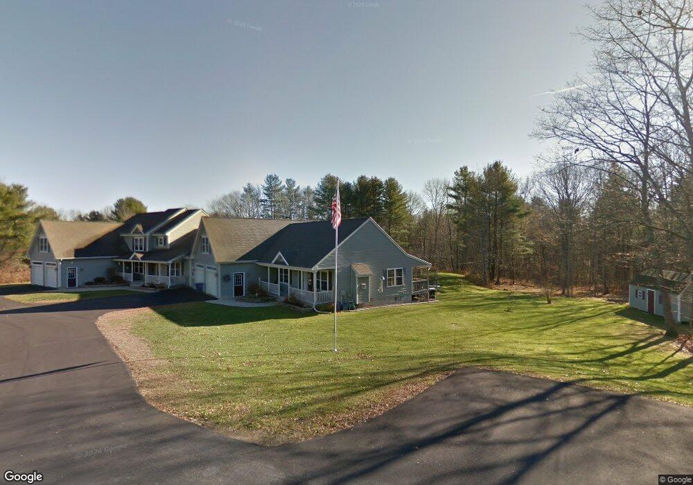
19 Burkes Way Westbrook, ME 04092
Estimated Value: $616,000 - $707,000
4
Beds
2
Baths
1,986
Sq Ft
$341/Sq Ft
Est. Value
About This Home
This home is located at 19 Burkes Way, Westbrook, ME 04092 and is currently estimated at $678,012, approximately $341 per square foot. 19 Burkes Way is a home located in Cumberland County with nearby schools including Westbrook High School and St. Brigid School.
Ownership History
Date
Name
Owned For
Owner Type
Purchase Details
Closed on
Jul 31, 2015
Sold by
Burke John M and Burke Janice L
Bought by
Gerald A Cole T
Current Estimated Value
Create a Home Valuation Report for This Property
The Home Valuation Report is an in-depth analysis detailing your home's value as well as a comparison with similar homes in the area
Home Values in the Area
Average Home Value in this Area
Purchase History
| Date | Buyer | Sale Price | Title Company |
|---|---|---|---|
| Gerald A Cole T | -- | -- |
Source: Public Records
Tax History Compared to Growth
Tax History
| Year | Tax Paid | Tax Assessment Tax Assessment Total Assessment is a certain percentage of the fair market value that is determined by local assessors to be the total taxable value of land and additions on the property. | Land | Improvement |
|---|---|---|---|---|
| 2023 | $7,216 | $432,600 | $93,600 | $339,000 |
| 2022 | $6,612 | $365,300 | $78,000 | $287,300 |
| 2021 | $6,513 | $365,300 | $78,000 | $287,300 |
| 2020 | $6,524 | $365,300 | $78,000 | $287,300 |
| 2019 | $6,524 | $365,300 | $78,000 | $287,300 |
| 2018 | $6,197 | $319,200 | $65,000 | $254,200 |
| 2017 | $6,026 | $319,200 | $65,000 | $254,200 |
| 2016 | $5,873 | $319,200 | $65,000 | $254,200 |
| 2015 | $5,733 | $319,200 | $65,000 | $254,200 |
| 2014 | -- | $319,200 | $65,000 | $254,200 |
| 2013 | $5,490 | $319,200 | $65,000 | $254,200 |
Source: Public Records
Map
Nearby Homes
- 400 Brook St
- 159 Brook Rd
- 153 Brooks Edge Farm Rd Unit 69
- 151 Brooks Edge Farm Rd Unit 68
- 171 Brook St Unit 2
- 171 Brook St Unit 41
- 171 Brook St Unit 42
- 171 Brook St Unit 76
- 171 Brook St Unit 1
- 171 Brook St Unit 45
- 1087 Riverside St
- 98 Blackstrap Rd
- 375 Bridgton Rd Unit 43
- 41 Villa Rd
- 20 Elmwood Ave
- 117 Blackstrap Rd
- 290 Bridgton Rd Unit 1
- 358 Palmer Ave
- 367 Palmer Ave
- 12 Hamlin Rd