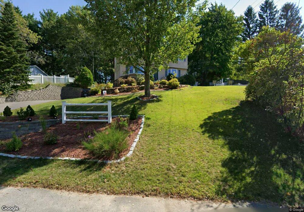
19 Cambridge Rd Nashua, NH 03062
Southwest Nashua NeighborhoodEstimated Value: $560,490 - $585,000
4
Beds
2
Baths
1,666
Sq Ft
$347/Sq Ft
Est. Value
About This Home
This home is located at 19 Cambridge Rd, Nashua, NH 03062 and is currently estimated at $577,873, approximately $346 per square foot. 19 Cambridge Rd is a home located in Hillsborough County with nearby schools including Main Dunstable School, Elm Street Middle School, and Nashua High School South.
Ownership History
Date
Name
Owned For
Owner Type
Purchase Details
Closed on
Jun 4, 2019
Sold by
Lavoie Blake and Tranavitch Karen M
Bought by
Lavoie Blake and Lavoie Karen M
Current Estimated Value
Home Financials for this Owner
Home Financials are based on the most recent Mortgage that was taken out on this home.
Original Mortgage
$188,000
Outstanding Balance
$119,422
Interest Rate
3.5%
Mortgage Type
New Conventional
Estimated Equity
$458,451
Purchase Details
Closed on
Jun 25, 2007
Sold by
Copeland Charles R Est
Bought by
Lavoie Blake
Home Financials for this Owner
Home Financials are based on the most recent Mortgage that was taken out on this home.
Original Mortgage
$224,000
Interest Rate
6.14%
Mortgage Type
Purchase Money Mortgage
Create a Home Valuation Report for This Property
The Home Valuation Report is an in-depth analysis detailing your home's value as well as a comparison with similar homes in the area
Home Values in the Area
Average Home Value in this Area
Purchase History
| Date | Buyer | Sale Price | Title Company |
|---|---|---|---|
| Lavoie Blake | -- | -- | |
| Lavoie Blake | $280,000 | -- |
Source: Public Records
Mortgage History
| Date | Status | Borrower | Loan Amount |
|---|---|---|---|
| Open | Lavoie Blake | $188,000 | |
| Previous Owner | Lavoie Blake | $224,000 | |
| Previous Owner | Lavoie Blake | $224,000 |
Source: Public Records
Tax History Compared to Growth
Tax History
| Year | Tax Paid | Tax Assessment Tax Assessment Total Assessment is a certain percentage of the fair market value that is determined by local assessors to be the total taxable value of land and additions on the property. | Land | Improvement |
|---|---|---|---|---|
| 2024 | $7,479 | $470,400 | $168,400 | $302,000 |
| 2023 | $7,104 | $389,700 | $134,700 | $255,000 |
| 2022 | $7,042 | $389,700 | $134,700 | $255,000 |
| 2021 | $6,290 | $270,900 | $89,800 | $181,100 |
| 2020 | $6,125 | $270,900 | $89,800 | $181,100 |
| 2019 | $5,895 | $270,900 | $89,800 | $181,100 |
| 2018 | $5,703 | $268,900 | $89,800 | $179,100 |
| 2017 | $5,994 | $232,400 | $69,600 | $162,800 |
| 2016 | $5,826 | $232,400 | $69,600 | $162,800 |
| 2015 | $5,701 | $232,400 | $69,600 | $162,800 |
| 2014 | $5,589 | $232,400 | $69,600 | $162,800 |
Source: Public Records
Map
Nearby Homes
- 4 Henry David Dr Unit 203
- 375 Main Dunstable Rd
- 25 Cortez Dr Unit U57
- 16 Laurel Ct Unit U320
- 23 Glen Dr
- 47 Dogwood Dr Unit U202
- 8 Althea Ln Unit U26
- 247 Main Dunstable Rd
- 188 Harris Rd
- 29 Greenwood Dr
- 5 Wilderness Dr
- 599 W Hollis St
- 33 Cannon Dr
- 40 Spring Cove Rd Unit U117
- 15 Westray Dr
- 12 Spring Cove Rd Unit U103
- 11 Bordeaux St
- 22 Kern Dr
- 57 Wethersfield Rd
- 31 Tenby Dr
- 21 Cambridge Rd
- 17 Cambridge Rd
- 18 Cambridge Rd
- 14 Yarmouth Dr
- 16 Cambridge Rd
- 20 Yarmouth Dr
- 18 Yarmouth Dr
- 20 Cambridge Rd
- 14 Cambridge Rd
- 2 Kittery Dr
- 4 Kittery Dr
- 22 Yarmouth Dr
- 23 Cambridge Rd
- 22 Cambridge Rd
- 6 Topsfield Dr
- 26 Jennifer Dr
- 19 Yarmouth Dr
- 17 Yarmouth Dr
- 28 Jennifer Dr
- 12 Cambridge Rd