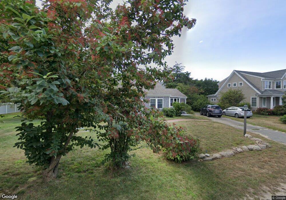
19 Cedar Hill Rd Brewster, MA 02631
Estimated Value: $1,020,000 - $1,395,000
3
Beds
2
Baths
1,248
Sq Ft
$919/Sq Ft
Est. Value
About This Home
This home is located at 19 Cedar Hill Rd, Brewster, MA 02631 and is currently estimated at $1,147,380, approximately $919 per square foot. 19 Cedar Hill Rd is a home located in Barnstable County with nearby schools including Stony Brook Elementary School, Eddy Elementary School, and Nauset Regional Middle School.
Ownership History
Date
Name
Owned For
Owner Type
Purchase Details
Closed on
Mar 15, 2017
Sold by
Neumann James and Neumann Virginia B
Bought by
201 Virginia and 201 Neumann
Current Estimated Value
Purchase Details
Closed on
Jan 9, 2012
Sold by
Grace D Bell Rt and Bell
Bought by
Neumann James and Neumann Virginia B
Home Financials for this Owner
Home Financials are based on the most recent Mortgage that was taken out on this home.
Original Mortgage
$245,000
Interest Rate
3.98%
Mortgage Type
New Conventional
Create a Home Valuation Report for This Property
The Home Valuation Report is an in-depth analysis detailing your home's value as well as a comparison with similar homes in the area
Home Values in the Area
Average Home Value in this Area
Purchase History
| Date | Buyer | Sale Price | Title Company |
|---|---|---|---|
| 201 Virginia | -- | -- | |
| Neumann James | $550,000 | -- |
Source: Public Records
Mortgage History
| Date | Status | Borrower | Loan Amount |
|---|---|---|---|
| Previous Owner | Neumann James | $245,000 |
Source: Public Records
Tax History
| Year | Tax Paid | Tax Assessment Tax Assessment Total Assessment is a certain percentage of the fair market value that is determined by local assessors to be the total taxable value of land and additions on the property. | Land | Improvement |
|---|---|---|---|---|
| 2025 | $6,887 | $1,001,000 | $706,900 | $294,100 |
| 2024 | $6,433 | $944,700 | $666,900 | $277,800 |
| 2023 | $5,603 | $801,600 | $552,800 | $248,800 |
| 2022 | $5,251 | $668,900 | $460,500 | $208,400 |
| 2021 | $4,999 | $582,600 | $400,400 | $182,200 |
| 2020 | $4,949 | $574,100 | $400,400 | $173,700 |
| 2019 | $2,889 | $553,400 | $385,100 | $168,300 |
| 2018 | $4,536 | $549,200 | $385,100 | $164,100 |
| 2017 | $4,429 | $527,900 | $385,100 | $142,800 |
| 2016 | $4,381 | $519,700 | $377,600 | $142,100 |
| 2015 | $4,204 | $508,900 | $370,100 | $138,800 |
Source: Public Records
Map
Nearby Homes
- 20 Spring Ln
- 240 Robbins Hill Rd
- 53 Brier Ln
- 0 Ridgewood Dr
- 1580 Main St
- 13 Sand Dollar Ln
- 13 Sand Dollar Ln Unit 20
- 11 Juniper Cir
- 11 Juniper Cir Unit 11
- 18 Juniper Cir Unit 18
- 117 A p Newcomb Rd
- 9 Cockle Way Unit 9
- 9 Cockle Way Unit 9
- 309 Great Fields Rd
- 279 Alden Dr
- 1861 Main St
- 98 Leland Rd
- 80 Abby Rd
- 0 Canoe Pond Dr
- 31 Hazel Ln
- 448 Paine's Creek Rd
- 448 Paines Creek Rd
- 29 Cedar Hill Rd
- 7 Cedar Hill Rd
- 456 Paines Creek Rd
- 7 Hillcrest Dr
- 466 Paines Creek Rd
- 24 Cedar Hill Rd
- 14 Cedar Hill Rd
- 41 Cedar Hill Rd
- 2 Cedar Hill Rd
- 18 Hillcrest Dr
- 6 Hillcrest Dr
- 439 Paines Creek Rd
- 32 Cedar Hill Rd
- 28 Hillcrest Dr
- 476 Paines Creek Rd
- 435 Paines Creek Rd
- 42 Cedar Hill Rd
- 455 Paines Creek Rd
Your Personal Tour Guide
Ask me questions while you tour the home.