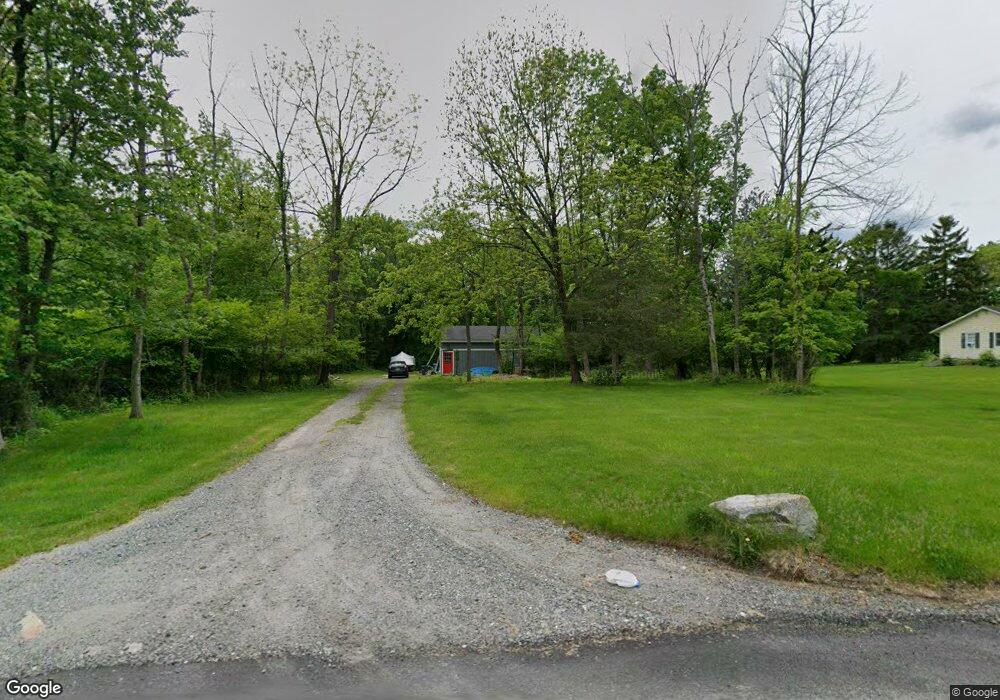
19 Center St Branchville, NJ 07826
Estimated Value: $348,139 - $497,000
--
Bed
--
Bath
1,120
Sq Ft
$362/Sq Ft
Est. Value
About This Home
This home is located at 19 Center St, Branchville, NJ 07826 and is currently estimated at $405,535, approximately $362 per square foot. 19 Center St is a home located in Sussex County with nearby schools including Frankford Township School and High Point Regional High School.
Ownership History
Date
Name
Owned For
Owner Type
Purchase Details
Closed on
Nov 30, 2018
Sold by
Lowin Hall Lowin Patricia A and Lowin James G
Bought by
Hall Lowin Patricia A
Current Estimated Value
Purchase Details
Closed on
Jun 8, 2001
Sold by
Fanning Patrick T and Lancaster Lynn
Bought by
Lowin James
Home Financials for this Owner
Home Financials are based on the most recent Mortgage that was taken out on this home.
Original Mortgage
$100,000
Outstanding Balance
$38,287
Interest Rate
7.21%
Estimated Equity
$367,248
Purchase Details
Closed on
Nov 20, 1995
Sold by
Felix The Cat Productions Inc
Bought by
Fanning Patrick T
Create a Home Valuation Report for This Property
The Home Valuation Report is an in-depth analysis detailing your home's value as well as a comparison with similar homes in the area
Home Values in the Area
Average Home Value in this Area
Purchase History
| Date | Buyer | Sale Price | Title Company |
|---|---|---|---|
| Hall Lowin Patricia A | -- | Chicago Title Insurance Co | |
| Lowin James | $163,000 | Chicago Title Insurance Co | |
| Fanning Patrick T | $118,900 | Premium Title Service Inc |
Source: Public Records
Mortgage History
| Date | Status | Borrower | Loan Amount |
|---|---|---|---|
| Open | Lowin James | $100,000 |
Source: Public Records
Tax History Compared to Growth
Tax History
| Year | Tax Paid | Tax Assessment Tax Assessment Total Assessment is a certain percentage of the fair market value that is determined by local assessors to be the total taxable value of land and additions on the property. | Land | Improvement |
|---|---|---|---|---|
| 2025 | $6,590 | $221,600 | $144,200 | $77,400 |
| 2024 | $6,393 | $221,600 | $144,200 | $77,400 |
| 2023 | $6,393 | $221,600 | $144,200 | $77,400 |
| 2022 | $6,238 | $221,600 | $144,200 | $77,400 |
| 2021 | $6,050 | $221,600 | $144,200 | $77,400 |
| 2020 | $5,877 | $221,600 | $144,200 | $77,400 |
| 2019 | $5,711 | $221,600 | $144,200 | $77,400 |
| 2018 | $5,657 | $221,600 | $144,200 | $77,400 |
| 2017 | $5,638 | $221,600 | $144,200 | $77,400 |
| 2016 | $5,708 | $221,600 | $144,200 | $77,400 |
| 2015 | $5,680 | $221,600 | $144,200 | $77,400 |
| 2014 | $5,810 | $221,600 | $144,200 | $77,400 |
Source: Public Records
Map
Nearby Homes
- 127 E Shore Culver Rd
- 30 - 31 E Shore Culver Rd
- 78 E Shore Culver Rd
- 64 Mattison Rd
- 1 Lakeview Point Ave
- 15 Forest St
- 7 Laurel Ave
- 10 Lakewood Trail
- 4 Woodlawn Ave
- 6 Woodlawn Ave
- 7 Stempert Rd
- 19 E Shore Lake Owassa Rd
- 39 Stehr St
- 25 E Shore Lake Owassa Rd
- 9 Maple Ln
- 461 U S Highway 206
- 26 Mill Ln
- 13 U S 206
- 4 Lake Path 1
- 515 Kemah Lake Rd