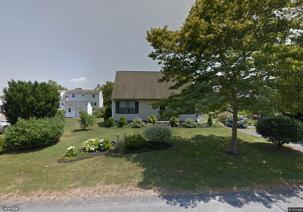
19 Christine Rd Middletown, RI 02842
Estimated Value: $614,645 - $733,000
2
Beds
2
Baths
1,510
Sq Ft
$446/Sq Ft
Est. Value
About This Home
This home is located at 19 Christine Rd, Middletown, RI 02842 and is currently estimated at $673,911, approximately $446 per square foot. 19 Christine Rd is a home located in Newport County with nearby schools including Middletown High School and All Saints STEAM Academy.
Ownership History
Date
Name
Owned For
Owner Type
Purchase Details
Closed on
Jul 14, 2025
Sold by
Silveira Joseph D
Bought by
Silveira Joseph D and Silveira Tabitha
Current Estimated Value
Purchase Details
Closed on
Jun 2, 2016
Sold by
Silveira Joseph D
Bought by
Silveira Joseph D
Home Financials for this Owner
Home Financials are based on the most recent Mortgage that was taken out on this home.
Original Mortgage
$212,000
Interest Rate
3.59%
Mortgage Type
New Conventional
Purchase Details
Closed on
Dec 29, 2006
Sold by
Couture Steven and Couture Suzanne
Bought by
Silveira Joseph D
Purchase Details
Closed on
Jun 10, 1992
Sold by
West Meadow Ptnrshp
Bought by
Couture Steven J
Home Financials for this Owner
Home Financials are based on the most recent Mortgage that was taken out on this home.
Original Mortgage
$106,400
Interest Rate
8.79%
Mortgage Type
Purchase Money Mortgage
Create a Home Valuation Report for This Property
The Home Valuation Report is an in-depth analysis detailing your home's value as well as a comparison with similar homes in the area
Home Values in the Area
Average Home Value in this Area
Purchase History
| Date | Buyer | Sale Price | Title Company |
|---|---|---|---|
| Silveira Joseph D | -- | -- | |
| Silveira Joseph D | -- | -- | |
| Silveira Joseph D | $265,000 | -- | |
| Silveira Joseph D | $265,000 | -- | |
| Silveira Joseph D | $295,000 | -- | |
| Silveira Joseph D | $295,000 | -- | |
| Couture Steven J | $112,000 | -- | |
| Couture Steven J | $112,000 | -- |
Source: Public Records
Mortgage History
| Date | Status | Borrower | Loan Amount |
|---|---|---|---|
| Previous Owner | Silveira Joseph D | $212,000 | |
| Previous Owner | Couture Steven J | $31,700 | |
| Previous Owner | Couture Steven J | $106,400 |
Source: Public Records
Tax History Compared to Growth
Tax History
| Year | Tax Paid | Tax Assessment Tax Assessment Total Assessment is a certain percentage of the fair market value that is determined by local assessors to be the total taxable value of land and additions on the property. | Land | Improvement |
|---|---|---|---|---|
| 2025 | $6,266 | $531,500 | $303,900 | $227,600 |
| 2024 | $5,985 | $531,500 | $303,900 | $227,600 |
| 2023 | $4,680 | $371,700 | $196,100 | $175,600 |
| 2022 | $4,468 | $371,700 | $196,100 | $175,600 |
| 2021 | $4,468 | $371,700 | $196,100 | $175,600 |
| 2020 | $4,077 | $296,300 | $144,900 | $151,400 |
| 2018 | $4,074 | $296,300 | $144,900 | $151,400 |
| 2016 | $4,103 | $266,100 | $121,600 | $144,500 |
| 2015 | $4,002 | $266,100 | $121,600 | $144,500 |
| 2014 | $4,156 | $258,600 | $110,500 | $148,100 |
| 2013 | $4,063 | $258,600 | $110,500 | $148,100 |
Source: Public Records
Map
Nearby Homes
- 18 J h Dwyer Dr
- 19 Cows Path Rd
- 68 Rebels Way
- 138 Rebels Way
- 0 0 Revolution Freedom Dr
- 481 Oliphant Ln
- 342 Mail Coach Rd
- 0 Coggeshall Way
- 278 Freedom Trail Dr
- 294 Freedom Trail Dr
- 134 E Main Rd
- 836 Forest Park
- 841 Forest Park
- 521 Forest Park
- 529 Forest Park
- 533 Forest Park
- 92 Harvest Dr
- 41 Lawton Brook Ln
- 38 Lawton Brook Ln
- 37 Lawton Brook Ln