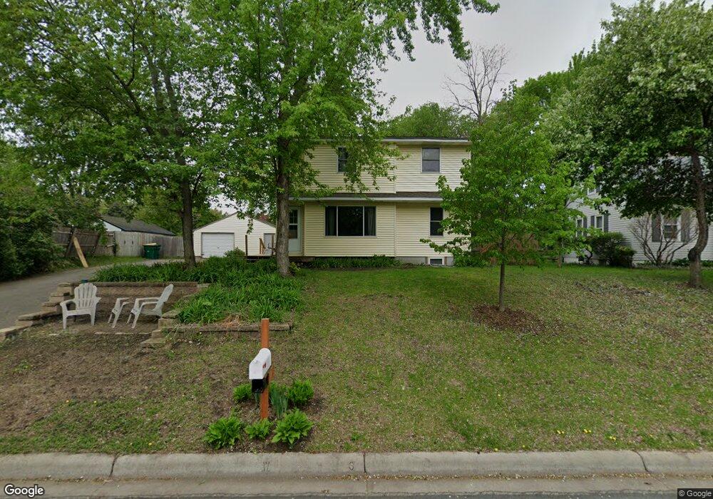
19 Circle Dr Circle Pines, MN 55014
Estimated Value: $311,000 - $339,155
6
Beds
2
Baths
1,119
Sq Ft
$292/Sq Ft
Est. Value
About This Home
This home is located at 19 Circle Dr, Circle Pines, MN 55014 and is currently estimated at $327,039, approximately $292 per square foot. 19 Circle Dr is a home located in Anoka County with nearby schools including Centennial Elementary School, Centennial Middle School, and Centennial High School.
Ownership History
Date
Name
Owned For
Owner Type
Purchase Details
Closed on
Jun 14, 2019
Sold by
Kratt Eric and Kratt Carri
Bought by
Klinner Karl E
Current Estimated Value
Home Financials for this Owner
Home Financials are based on the most recent Mortgage that was taken out on this home.
Original Mortgage
$189,905
Interest Rate
3.8%
Mortgage Type
New Conventional
Purchase Details
Closed on
Aug 5, 2011
Sold by
Cuser Edward C
Bought by
Kratt Erie and Kratt Carri
Home Financials for this Owner
Home Financials are based on the most recent Mortgage that was taken out on this home.
Original Mortgage
$128,653
Interest Rate
4.75%
Mortgage Type
FHA
Create a Home Valuation Report for This Property
The Home Valuation Report is an in-depth analysis detailing your home's value as well as a comparison with similar homes in the area
Home Values in the Area
Average Home Value in this Area
Purchase History
| Date | Buyer | Sale Price | Title Company |
|---|---|---|---|
| Klinner Karl E | $199,900 | Servion Title Inc | |
| Kratt Erie | $132,000 | -- |
Source: Public Records
Mortgage History
| Date | Status | Borrower | Loan Amount |
|---|---|---|---|
| Previous Owner | Klinner Karl E | $189,905 | |
| Previous Owner | Kratt Erie | $128,653 |
Source: Public Records
Tax History
| Year | Tax Paid | Tax Assessment Tax Assessment Total Assessment is a certain percentage of the fair market value that is determined by local assessors to be the total taxable value of land and additions on the property. | Land | Improvement |
|---|---|---|---|---|
| 2025 | $3,107 | $287,400 | $110,000 | $177,400 |
| 2024 | $3,107 | $261,900 | $95,000 | $166,900 |
| 2023 | $3,041 | $275,100 | $98,200 | $176,900 |
| 2022 | $2,617 | $263,900 | $82,000 | $181,900 |
| 2021 | $2,637 | $200,800 | $64,400 | $136,400 |
| 2020 | $2,727 | $199,500 | $64,400 | $135,100 |
| 2019 | $3,116 | $195,700 | $61,300 | $134,400 |
| 2018 | $2,883 | $183,200 | $0 | $0 |
| 2017 | $2,542 | $182,400 | $0 | $0 |
| 2016 | $2,545 | $151,400 | $0 | $0 |
| 2015 | -- | $151,400 | $47,000 | $104,400 |
| 2014 | -- | $135,600 | $44,800 | $90,800 |
Source: Public Records
Map
Nearby Homes
- 5 Cameo Ln Unit D
- 110 South Dr
- 104 South Dr Unit B
- 215 Keith Rd
- 8 Pointcross Dr
- 4842 104th Ave NE
- 9991 Cord St NE
- 4185 Austin St NE
- 10216 Erskin St NE
- 4831 104th Ln NE
- 4145 Austin St NE
- 4841 105th Ln NE
- 306 Heritage Trail
- 714 Village Pkwy
- 343 Heritage Trail
- 330 Heritage Trail Unit 117
- 3975 Lovell Rd
- 9105 Lexington Ave N Unit B
- 9052 Jackson Ave
- 7164 Sunset Ave
Your Personal Tour Guide
Ask me questions while you tour the home.