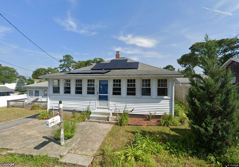
19 Circuit Ave Wareham, MA 02571
Wareham Center NeighborhoodEstimated Value: $371,198 - $432,000
1
Bed
1
Bath
936
Sq Ft
$427/Sq Ft
Est. Value
About This Home
This home is located at 19 Circuit Ave, Wareham, MA 02571 and is currently estimated at $399,550, approximately $426 per square foot. 19 Circuit Ave is a home located in Plymouth County.
Ownership History
Date
Name
Owned For
Owner Type
Purchase Details
Closed on
Sep 25, 2006
Sold by
Ohearn Michael P and Oliveri-Ohearn Lucy M
Bought by
Alexander Robert P
Current Estimated Value
Home Financials for this Owner
Home Financials are based on the most recent Mortgage that was taken out on this home.
Original Mortgage
$221,160
Interest Rate
6.59%
Mortgage Type
Purchase Money Mortgage
Purchase Details
Closed on
Jun 30, 1998
Sold by
Blagden Mark D and Little Glenn V
Bought by
Ohearn Michael P and Oliveri-Ohearn Lucy M
Purchase Details
Closed on
Aug 20, 1996
Sold by
Labella John D and Labella Pauline F
Bought by
Blagden Mark D and Little Glen
Create a Home Valuation Report for This Property
The Home Valuation Report is an in-depth analysis detailing your home's value as well as a comparison with similar homes in the area
Home Values in the Area
Average Home Value in this Area
Purchase History
| Date | Buyer | Sale Price | Title Company |
|---|---|---|---|
| Alexander Robert P | $228,000 | -- | |
| Alexander Robert P | $228,000 | -- | |
| Ohearn Michael P | $69,000 | -- | |
| Ohearn Michael P | $69,000 | -- | |
| Blagden Mark D | $66,000 | -- | |
| Blagden Mark D | $66,000 | -- |
Source: Public Records
Mortgage History
| Date | Status | Borrower | Loan Amount |
|---|---|---|---|
| Open | Blagden Mark D | $216,600 | |
| Closed | Blagden Mark D | $221,160 |
Source: Public Records
Tax History
| Year | Tax Paid | Tax Assessment Tax Assessment Total Assessment is a certain percentage of the fair market value that is determined by local assessors to be the total taxable value of land and additions on the property. | Land | Improvement |
|---|---|---|---|---|
| 2025 | $3,366 | $323,000 | $123,900 | $199,100 |
| 2024 | $3,353 | $298,600 | $92,800 | $205,800 |
| 2023 | $2,939 | $265,700 | $84,400 | $181,300 |
| 2022 | $2,939 | $223,000 | $84,400 | $138,600 |
| 2021 | $2,741 | $203,800 | $84,400 | $119,400 |
| 2020 | $2,604 | $196,400 | $84,400 | $112,000 |
| 2019 | $2,215 | $166,700 | $68,700 | $98,000 |
| 2018 | $2,036 | $149,400 | $68,700 | $80,700 |
| 2017 | $1,997 | $148,500 | $68,700 | $79,800 |
| 2016 | $1,816 | $134,200 | $65,400 | $68,800 |
| 2015 | $1,754 | $134,200 | $65,400 | $68,800 |
| 2014 | $1,656 | $128,900 | $62,100 | $66,800 |
Source: Public Records
Map
Nearby Homes
- 106 Circuit Ave
- 15 Broadmarsh Ave
- 6 Allen Ave
- 20 Grant St
- 43 Shore Ave
- 4 Mather Dr
- 6 Pine St
- 6 Wildwood Ave
- 21 Bayview St
- 10 Oak St
- 10 Barnes St
- 12 Oakdale St
- 10 Longmeadow Dr
- 6 Bourne Terrace
- 233 Marion Rd
- 437 Main St
- 110 Mayflower Ridge Dr
- 9 Woodville Way
- 0 Cromesett Rd (Off) Unit 73385395
- 15 14th Ave
- 21 Circuit Ave
- 17 Circuit Ave
- 20 Circuit Ave
- 65 Circuit Ave
- 23 Circuit Ave
- 23 Circuit Ave
- 23 Circuit Ave Unit 23
- 15 Circuit Ave
- 18 Circuit Ave
- 61 Circuit Ave
- 13 Circuit Ave
- 14 Circuit Ave
- 22 Circuit Ave
- 92 Circuit Ave(waterfront)
- 25 Circuit Ave
- 27 Circuit Ave
- 90 Circuit Ave
- 92 Circuit Ave
- 11 Circuit Ave
- 88 Circuit Ave
Your Personal Tour Guide
Ask me questions while you tour the home.