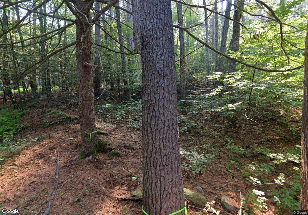
19 Cliff Rd Northfield, MA 01360
Estimated Value: $182,000 - $260,000
4
Beds
1
Bath
960
Sq Ft
$221/Sq Ft
Est. Value
About This Home
This home is located at 19 Cliff Rd, Northfield, MA 01360 and is currently estimated at $212,255, approximately $221 per square foot. 19 Cliff Rd is a home located in Franklin County with nearby schools including Pioneer Valley Regional.
Ownership History
Date
Name
Owned For
Owner Type
Purchase Details
Closed on
Sep 9, 2021
Sold by
B P & A C Walker Jr Ret
Bought by
Walker Joanna F
Current Estimated Value
Purchase Details
Closed on
Mar 27, 2012
Sold by
Broadhead James L
Bought by
Broadhead Jeffrey T and Broadhead Catherine L
Purchase Details
Closed on
Aug 8, 2006
Sold by
Walker A Colin and Walker Barbara P
Bought by
Walker Barbara and Walker Colin
Purchase Details
Closed on
Dec 14, 2005
Sold by
Poole-Walker Barbara
Bought by
Walker A Colin and Walker Barbara P
Home Financials for this Owner
Home Financials are based on the most recent Mortgage that was taken out on this home.
Original Mortgage
$64,000
Interest Rate
6.34%
Mortgage Type
Purchase Money Mortgage
Purchase Details
Closed on
Nov 21, 1997
Sold by
Poole John Arnold and Poole David Allen
Bought by
Broadhead James L
Create a Home Valuation Report for This Property
The Home Valuation Report is an in-depth analysis detailing your home's value as well as a comparison with similar homes in the area
Home Values in the Area
Average Home Value in this Area
Purchase History
| Date | Buyer | Sale Price | Title Company |
|---|---|---|---|
| Walker Joanna F | -- | None Available | |
| Broadhead Jeffrey T | -- | -- | |
| Walker Barbara | -- | -- | |
| Walker A Colin | $60,000 | -- | |
| Broadhead James L | $20,000 | -- |
Source: Public Records
Mortgage History
| Date | Status | Borrower | Loan Amount |
|---|---|---|---|
| Previous Owner | Walker A Colin | $64,000 |
Source: Public Records
Tax History Compared to Growth
Tax History
| Year | Tax Paid | Tax Assessment Tax Assessment Total Assessment is a certain percentage of the fair market value that is determined by local assessors to be the total taxable value of land and additions on the property. | Land | Improvement |
|---|---|---|---|---|
| 2025 | $1,520 | $109,800 | $39,200 | $70,600 |
| 2024 | $1,438 | $105,900 | $36,900 | $69,000 |
| 2023 | $1,327 | $97,700 | $36,500 | $61,200 |
| 2022 | $1,230 | $88,800 | $36,500 | $52,300 |
| 2021 | $1,459 | $90,500 | $38,100 | $52,400 |
| 2020 | $1,422 | $85,600 | $38,100 | $47,500 |
| 2019 | $1,451 | $83,400 | $38,100 | $45,300 |
| 2018 | $1,457 | $81,600 | $38,100 | $43,500 |
| 2017 | $1,907 | $115,900 | $38,100 | $77,800 |
| 2016 | $1,842 | $115,900 | $38,100 | $77,800 |
| 2015 | $1,958 | $117,600 | $38,100 | $79,500 |
Source: Public Records
Map
Nearby Homes
- 14 Wood Way
- 181 Main St
- 22 Old Turnpike Rd
- 94 Main St
- 12 Parker Ave Unit 1
- 719 Mount Hermon Station Rd
- 294 Capt Beers Plain Rd
- 0 Old Tipping Rock Rd Unit 34
- 339 Burt Hill Rd
- 259 Bolton Rd
- 0 Sears St Unit 23759828
- Lot 14 Northfield Rd
- 0, Lot 2 Flower Hill Rd
- 0, Lot 1 Flower Hill Rd
- 49 Whitetail Dr
- 12 Wetherby Dr
- 153 Back Ashuelot Rd
- 19 Back Ashuelot Rd
- 111 Warwick Rd
- 104 S Mountain Rd
