Estimated Value: $483,000 - $510,000
2
Beds
2
Baths
1,383
Sq Ft
$360/Sq Ft
Est. Value
About This Home
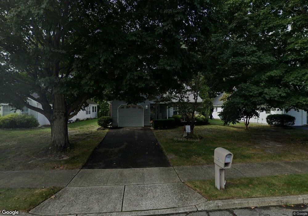
This home is located at 19 Cottontail Dr, Brick, NJ 08724 and is currently estimated at $498,167, approximately $360 per square foot. 19 Cottontail Dr is a home located in Ocean County with nearby schools including Midstreams Elementary School, Veterans Memorial Middle School, and Brick Township Memorial High School.
Ownership History
Date
Name
Owned For
Owner Type
Purchase Details
Closed on
Oct 12, 2007
Sold by
Leonard Patrick and Weis Janet
Bought by
Barnes Edward C and Barnes Geraldine
Current Estimated Value
Home Financials for this Owner
Home Financials are based on the most recent Mortgage that was taken out on this home.
Original Mortgage
$148,000
Outstanding Balance
$93,263
Interest Rate
6.39%
Mortgage Type
Purchase Money Mortgage
Estimated Equity
$404,904
Purchase Details
Closed on
Dec 15, 1993
Sold by
W & F Dev Inc
Bought by
Leonard Patrick J
Home Financials for this Owner
Home Financials are based on the most recent Mortgage that was taken out on this home.
Original Mortgage
$33,000
Interest Rate
7.03%
Create a Home Valuation Report for This Property
The Home Valuation Report is an in-depth analysis detailing your home's value as well as a comparison with similar homes in the area
Home Values in the Area
Average Home Value in this Area
Purchase History
| Date | Buyer | Sale Price | Title Company |
|---|---|---|---|
| Barnes Edward C | $238,000 | Lawyers Title Insurance Corp | |
| Leonard Patrick J | $109,990 | -- |
Source: Public Records
Mortgage History
| Date | Status | Borrower | Loan Amount |
|---|---|---|---|
| Open | Barnes Edward C | $148,000 | |
| Previous Owner | Leonard Patrick J | $33,000 |
Source: Public Records
Tax History
| Year | Tax Paid | Tax Assessment Tax Assessment Total Assessment is a certain percentage of the fair market value that is determined by local assessors to be the total taxable value of land and additions on the property. | Land | Improvement |
|---|---|---|---|---|
| 2025 | $5,664 | $217,000 | $100,000 | $117,000 |
| 2024 | $5,375 | $217,000 | $100,000 | $117,000 |
Source: Public Records
Map
Nearby Homes
- 13 Golden Rod Ct
- 36 Sleepy Hollow Dr
- 94 Sleepy Hollow Dr
- 209 Winchester Dr
- 241 Old Squan Rd
- 106 Arrowhead Park Dr
- 203 Lorraine Place
- 140 Meridian Dr
- 74 Fairview Ave
- 24 Davos Rd
- 14 Coolidge Dr
- 4 East Trail
- 17 East Trail
- 3 C Trail
- 1 Princeton Pines Place
- 49 N Cherokee Ln
- 106 Coolidge Dr
- 313 Shawnee Dr
- 315 Shawnee Dr
- 36 Lenape Trail
- 17 Cottontail Dr
- 23 Cottontail Dr
- 6 Golden Rod Ct
- 4 Golden Rod Ct
- 13 Cottontail Dr
- 25 Cottontail Dr
- 8 Golden Rod Ct
- 22 Cottontail Dr
- 20 Cottontail Dr
- 18 Cottontail Dr
- 2 Golden Rod Ct
- 24 Cottontail Dr
- 11 Cottontail Dr
- 16 Cottontail Dr
- 10 Golden Rod Ct
- 26 Cottontail Dr
- 14 Cottontail Dr
- 9 Cottontail Dr
- 12 Cottontail Dr
- 12 Golden Rod Ct
Your Personal Tour Guide
Ask me questions while you tour the home.