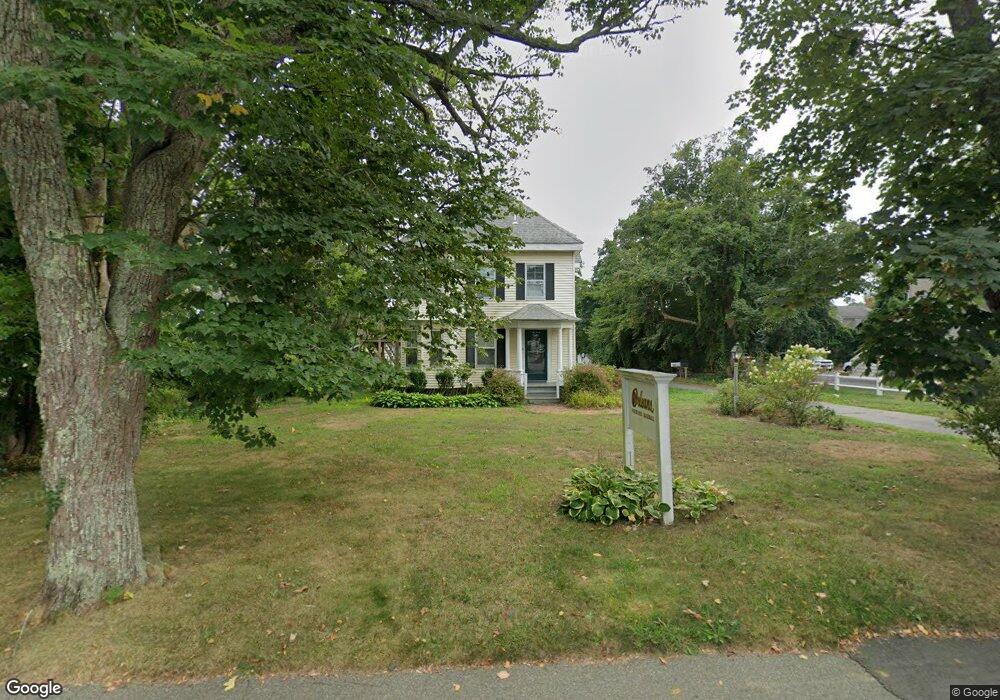
19 Cove Rd Unit A Orleans, MA 02653
Estimated Value: $227,815 - $908,000
1
Bed
1
Bath
414
Sq Ft
$1,395/Sq Ft
Est. Value
About This Home
This home is located at 19 Cove Rd Unit A, Orleans, MA 02653 and is currently estimated at $577,454, approximately $1,394 per square foot. 19 Cove Rd Unit A is a home located in Barnstable County with nearby schools including Orleans Elementary School, Nauset Regional Middle School, and Nauset Regional High School.
Ownership History
Date
Name
Owned For
Owner Type
Purchase Details
Closed on
May 21, 2025
Sold by
Brady Timothy J
Bought by
Brady Schmidt Ret and Brady
Current Estimated Value
Purchase Details
Closed on
Aug 30, 2017
Sold by
Vonthaden Rt and Vonthaden
Bought by
Vonthaden Kim C
Purchase Details
Closed on
Feb 8, 2002
Sold by
Hornberger John W
Bought by
Robery Ernest W and Robery Marie
Create a Home Valuation Report for This Property
The Home Valuation Report is an in-depth analysis detailing your home's value as well as a comparison with similar homes in the area
Home Values in the Area
Average Home Value in this Area
Purchase History
| Date | Buyer | Sale Price | Title Company |
|---|---|---|---|
| Brady Schmidt Ret | -- | None Available | |
| Vonthaden Kim C | -- | -- | |
| Vonthaden Kim C | -- | -- | |
| Robery Ernest W | $320,000 | -- | |
| Robery Ernest W | $320,000 | -- |
Source: Public Records
Mortgage History
| Date | Status | Borrower | Loan Amount |
|---|---|---|---|
| Previous Owner | Robery Ernest W | $650,000 |
Source: Public Records
Tax History Compared to Growth
Tax History
| Year | Tax Paid | Tax Assessment Tax Assessment Total Assessment is a certain percentage of the fair market value that is determined by local assessors to be the total taxable value of land and additions on the property. | Land | Improvement |
|---|---|---|---|---|
| 2025 | $612 | $98,100 | $0 | $98,100 |
| 2024 | $583 | $90,900 | $0 | $90,900 |
| 2023 | $524 | $84,100 | $0 | $84,100 |
| 2022 | $521 | $72,400 | $0 | $72,400 |
| 2021 | $540 | $68,900 | $0 | $68,900 |
| 2020 | $497 | $65,700 | $0 | $65,700 |
| 2019 | $465 | $62,800 | $0 | $62,800 |
| 2018 | $412 | $62,200 | $0 | $62,200 |
| 2017 | $373 | $58,900 | $0 | $58,900 |
| 2016 | $424 | $65,700 | $0 | $65,700 |
| 2015 | $414 | $64,500 | $0 | $64,500 |
Source: Public Records
Map
Nearby Homes
- 13 S Orleans Rd Unit 28
- 44 Tonset Rd
- 22 Tonset Rd
- 24 Old Colony Way Unit 8
- 36 Old Colony Way Unit 3022
- 42 Old Colony Way Unit 30
- 42 Old Colony Way Unit 28
- 7 Reilly Run
- 95 S Orleans Rd
- 3 Reilly Run
- 5 Reilly Run
- 2 Reilly Run
- 8 Reilly Run
- 32 Locust Rd
- 20 Namskaket Rd
- 47 Daley Terrace
- 18 West Rd Unit 307
- 18 West Rd Unit 315
- 190 Rt 6a Unit 8B
- 190 Rt 6a Unit 12A
- 19A Cove Rd Unit 2
- 19 Cove Rd Unit B
- 19 Cove Rd Unit 4
- 19 Cove Rd Unit 3
- 19 Cove Rd
- 19 Cove Rd Unit 2
- 19 Cove Rd Unit 5
- 19 Cove Rd Unit 1
- 19 Cove Rd Unit C
- 12 Cummings Rd
- 46 S Orleans Rd
- 17 Cove Rd Unit 1, 2, 3 & 4
- 17 Cove Rd Unit 3
- 17 Cove Rd Unit 1
- 17 Cove Rd Unit 2
- 17 Cove Rd Unit 4
- 44 S Orleans Rd
- 10 Cummings Rd
- 42 S Orleans Rd
- 17 Cummings Rd