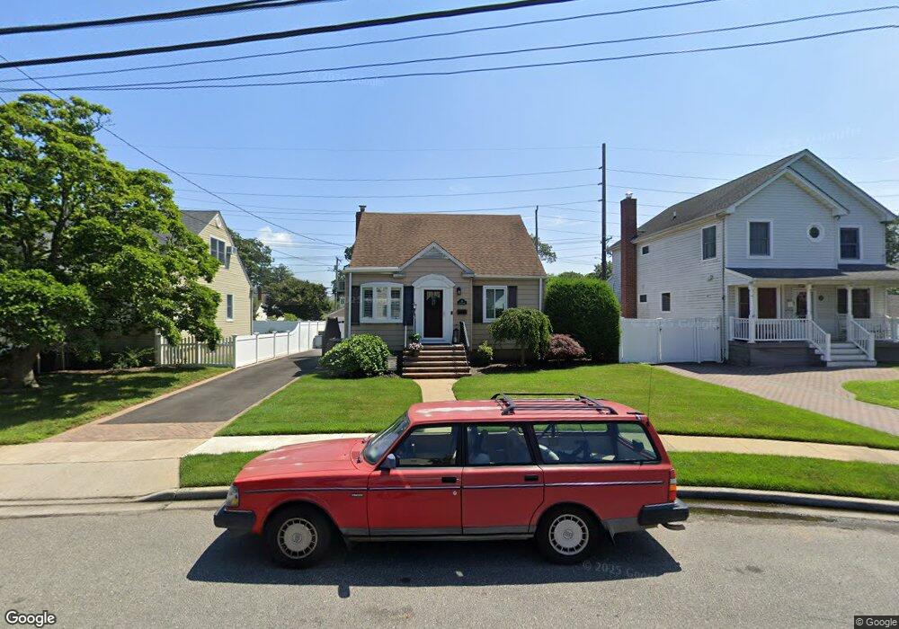
19 Croydon Dr Bellmore, NY 11710
Estimated Value: $649,000 - $691,076
4
Beds
1
Bath
1,196
Sq Ft
$560/Sq Ft
Est. Value
About This Home
This home is located at 19 Croydon Dr, Bellmore, NY 11710 and is currently estimated at $670,038, approximately $560 per square foot. 19 Croydon Dr is a home located in Nassau County with nearby schools including Weatherford West Elementary School, Lt. General Thomas P. Stafford Elementary School, and Grand Avenue Middle School.
Ownership History
Date
Name
Owned For
Owner Type
Purchase Details
Closed on
Feb 22, 2018
Sold by
Tarter Mary Elizabeth
Bought by
Westbay Patti Ann and Grattagliano Philip
Current Estimated Value
Home Financials for this Owner
Home Financials are based on the most recent Mortgage that was taken out on this home.
Original Mortgage
$382,500
Outstanding Balance
$326,586
Interest Rate
4.32%
Mortgage Type
New Conventional
Estimated Equity
$343,452
Create a Home Valuation Report for This Property
The Home Valuation Report is an in-depth analysis detailing your home's value as well as a comparison with similar homes in the area
Home Values in the Area
Average Home Value in this Area
Purchase History
| Date | Buyer | Sale Price | Title Company |
|---|---|---|---|
| Westbay Patti Ann | $425,000 | None Available |
Source: Public Records
Mortgage History
| Date | Status | Borrower | Loan Amount |
|---|---|---|---|
| Open | Westbay Patti Ann | $382,500 |
Source: Public Records
Tax History Compared to Growth
Tax History
| Year | Tax Paid | Tax Assessment Tax Assessment Total Assessment is a certain percentage of the fair market value that is determined by local assessors to be the total taxable value of land and additions on the property. | Land | Improvement |
|---|---|---|---|---|
| 2025 | $11,081 | $386 | $177 | $209 |
| 2024 | $2,892 | $379 | $173 | $206 |
| 2023 | $10,883 | $389 | $178 | $211 |
| 2022 | $10,883 | $389 | $178 | $211 |
| 2021 | $15,203 | $395 | $181 | $214 |
| 2020 | $12,408 | $697 | $518 | $179 |
| 2019 | $9,799 | $697 | $518 | $179 |
| 2018 | $9,799 | $697 | $0 | $0 |
| 2017 | $6,215 | $697 | $518 | $179 |
| 2016 | $9,267 | $697 | $518 | $179 |
| 2015 | $2,843 | $697 | $518 | $179 |
| 2014 | $2,843 | $697 | $518 | $179 |
| 2013 | $2,669 | $697 | $518 | $179 |
Source: Public Records
Map
Nearby Homes
- 2434 Martin Ave
- 10 Airway Dr
- 2489 Beltagh Ave
- 20 Kenneth Ave
- 13 Metropolitan Ave
- 1827 Jefferson Ave
- 205 Howell St
- 204 Howell St
- 15 Jefferson Ave
- 204 Margaret Blvd
- 1734 Roberta Ln
- 105 Howell St
- 123 Mitchell St
- 70 Nancy Blvd
- 118 Linden St
- 1787 Madison Ave
- 22 Davenport Place
- 2355 Mitchell Place
- 2672 Martin Ave
- 2595 Castle Ct
- 17 Croydon Dr
- 21 Croydon Dr
- 1984 Newbridge Rd
- 15 Croydon Dr
- 26 Croydon Dr
- 1988 Newbridge Rd
- 23 Croydon Dr
- 14 Croydon Dr
- 2428 Martin Ave
- 28 Croydon Dr
- 1996 Newbridge Rd
- 1996 Newbridge Rd Unit LL
- 1996 Newbridge Rd Unit 1st Fl
- 1983 Newbridge Rd
- 25 Croydon Dr
- 12 Croydon Dr
- 2440 Martin Ave
- 9 Croydon Dr
- 27 Croydon Dr
- 10 Croydon Dr