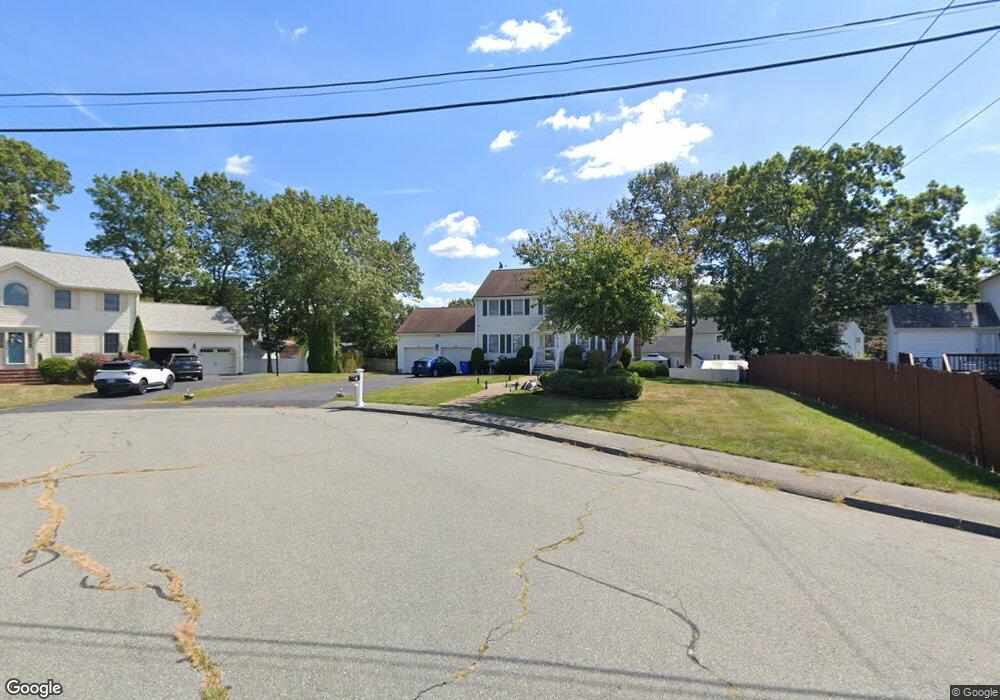
19 Cunningham Cir Randolph, MA 02368
North Randolph NeighborhoodEstimated Value: $761,521 - $894,000
4
Beds
4
Baths
2,149
Sq Ft
$379/Sq Ft
Est. Value
About This Home
This home is located at 19 Cunningham Cir, Randolph, MA 02368 and is currently estimated at $813,880, approximately $378 per square foot. 19 Cunningham Cir is a home located in Norfolk County with nearby schools including Randolph High School.
Ownership History
Date
Name
Owned For
Owner Type
Purchase Details
Closed on
Sep 23, 2022
Sold by
Cedeno-Zamor Patricia and Zamor Patricia C
Bought by
Cedeno-Zamor Patricia
Current Estimated Value
Purchase Details
Closed on
Apr 30, 2009
Sold by
Zamor Riche C and Cedeno-Zamor Patricia M
Bought by
Cedeno-Zamor Patricia M
Home Financials for this Owner
Home Financials are based on the most recent Mortgage that was taken out on this home.
Original Mortgage
$220,000
Interest Rate
4.86%
Mortgage Type
Purchase Money Mortgage
Purchase Details
Closed on
Jan 31, 1997
Sold by
West Point Dev Co Inc
Bought by
Zamor Riche C and Zamor Patricia M
Home Financials for this Owner
Home Financials are based on the most recent Mortgage that was taken out on this home.
Original Mortgage
$185,000
Interest Rate
7.65%
Mortgage Type
Purchase Money Mortgage
Create a Home Valuation Report for This Property
The Home Valuation Report is an in-depth analysis detailing your home's value as well as a comparison with similar homes in the area
Home Values in the Area
Average Home Value in this Area
Purchase History
| Date | Buyer | Sale Price | Title Company |
|---|---|---|---|
| Cedeno-Zamor Patricia | -- | None Available | |
| Cedeno-Zamor Patricia M | -- | -- | |
| Zamor Riche C | $205,650 | -- |
Source: Public Records
Mortgage History
| Date | Status | Borrower | Loan Amount |
|---|---|---|---|
| Previous Owner | Cedeno-Zamor Patricia M | $220,000 | |
| Previous Owner | Zamor Riche C | $40,000 | |
| Previous Owner | Zamor Riche C | $185,000 |
Source: Public Records
Tax History
| Year | Tax Paid | Tax Assessment Tax Assessment Total Assessment is a certain percentage of the fair market value that is determined by local assessors to be the total taxable value of land and additions on the property. | Land | Improvement |
|---|---|---|---|---|
| 2025 | $8,176 | $704,200 | $257,000 | $447,200 |
| 2024 | $7,803 | $681,500 | $252,000 | $429,500 |
| 2023 | $7,746 | $641,200 | $229,200 | $412,000 |
| 2022 | $7,154 | $526,000 | $191,100 | $334,900 |
| 2021 | $7,198 | $487,000 | $159,300 | $327,700 |
| 2020 | $7,015 | $470,500 | $159,300 | $311,200 |
| 2019 | $6,648 | $443,800 | $151,500 | $292,300 |
| 2018 | $6,854 | $431,600 | $137,700 | $293,900 |
| 2017 | $6,836 | $422,500 | $131,200 | $291,300 |
| 2016 | $6,951 | $399,700 | $119,400 | $280,300 |
| 2015 | $6,632 | $366,400 | $113,600 | $252,800 |
Source: Public Records
Map
Nearby Homes
- 10 Michael Rd
- 232 Canton St Unit 308
- 232 Canton St Unit 104
- 4 Franklin Square Unit 4F
- 902 Irving Rd Unit 902
- 51 Himoor Cir
- 195 High St
- 72 Canton St
- 23 Old St
- 79 Gold St
- 9 Royal Crest Dr Unit 12
- 875 N Main St
- 43 Emily Jeffers Rd
- 20 Simmonds Blvd Unit 20
- 18 Simmonds Blvd Unit 18
- 8 Simmonds Blvd Unit 8
- 22 Simmonds Blvd Unit 22
- 10 Simmonds Blvd Unit 10
- 24 Simmonds Blvd Unit 24
- 6 Simmonds Blvd Unit 6
- 22 Cunningham Cir
- 81 Concetta Sass Dr
- 6 Bosworth Dr
- 7 Michael Rd Unit B
- 7 Michael Rd Unit A
- 7 Michael Rd Unit B
- 77 Concetta Sass Dr
- 10 Bosworth Dr
- 9 Michael Rd
- 18 Cunningham Cir
- 5 Michael Rd
- 12 Cunningham Cir
- 80 Concetta Sass Dr
- 84 Concetta Sass Dr
- 10 Cunningham Cir
- 11 Michael Rd
- 3 Michael Rd
- 5 Bosworth Dr
- 11 Michael Rd
- 71 Concetta Sass Dr
Your Personal Tour Guide
Ask me questions while you tour the home.