Estimated Value: $742,000 - $841,000
Studio
--
Bath
2,249
Sq Ft
$351/Sq Ft
Est. Value
About This Home
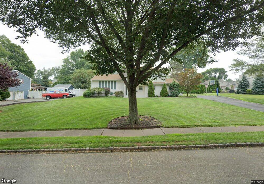
This home is located at 19 Devon Ln, Clark, NJ 07066 and is currently estimated at $790,012, approximately $351 per square foot. 19 Devon Ln is a home located in Union County with nearby schools including Frank K. Hehnly Elementary School, Carl H. Kumpf Middle School, and Arthur L. Johnson High School.
Ownership History
Date
Name
Owned For
Owner Type
Purchase Details
Closed on
Jul 16, 1998
Sold by
Bottita Rose C
Current Estimated Value
Home Financials for this Owner
Home Financials are based on the most recent Mortgage that was taken out on this home.
Original Mortgage
$204,000
Outstanding Balance
$41,711
Interest Rate
6.99%
Estimated Equity
$748,301
Create a Home Valuation Report for This Property
The Home Valuation Report is an in-depth analysis detailing your home's value as well as a comparison with similar homes in the area
Home Values in the Area
Average Home Value in this Area
Purchase History
| Date | Buyer | Sale Price | Title Company |
|---|---|---|---|
| -- | $255,000 | -- |
Source: Public Records
Mortgage History
| Date | Status | Borrower | Loan Amount |
|---|---|---|---|
| Open | -- | $204,000 |
Source: Public Records
Tax History
| Year | Tax Paid | Tax Assessment Tax Assessment Total Assessment is a certain percentage of the fair market value that is determined by local assessors to be the total taxable value of land and additions on the property. | Land | Improvement |
|---|---|---|---|---|
| 2025 | $15,350 | $693,300 | $345,000 | $348,300 |
| 2024 | $15,121 | $693,300 | $345,000 | $348,300 |
| 2023 | $15,121 | $693,300 | $345,000 | $348,300 |
| 2022 | $14,684 | $693,300 | $345,000 | $348,300 |
| 2021 | $14,028 | $157,800 | $53,000 | $104,800 |
| 2020 | $13,800 | $157,800 | $53,000 | $104,800 |
| 2019 | $13,661 | $157,800 | $53,000 | $104,800 |
| 2018 | $13,497 | $157,800 | $53,000 | $104,800 |
| 2017 | $13,280 | $157,800 | $53,000 | $104,800 |
| 2016 | $12,791 | $157,800 | $53,000 | $104,800 |
| 2015 | $12,662 | $157,800 | $53,000 | $104,800 |
| 2014 | $12,395 | $157,800 | $53,000 | $104,800 |
Source: Public Records
Map
Nearby Homes
- 20 Alastair Place
- 17 Rolling Hill Way
- 27 Stemmer Dr
- 116 Arthur Ave
- 24 Frederick Ave
- 15 E Walnut St
- 26 Linda Ave
- 675 Raritan Rd Unit 12
- 237 Carolyn Ave
- 78 Patricia Ave
- 150 Carolyn Ave
- 20 Joanna Place
- 1138 William V Young Dr
- 16 N Lincoln Ave
- 64 William St
- 131 Morningside Rd
- 279 Madison Hill Rd
- 127 Dukes Rd
- 78 Roosevelt Ave
- 53 Jordan Rd
Your Personal Tour Guide
Ask me questions while you tour the home.