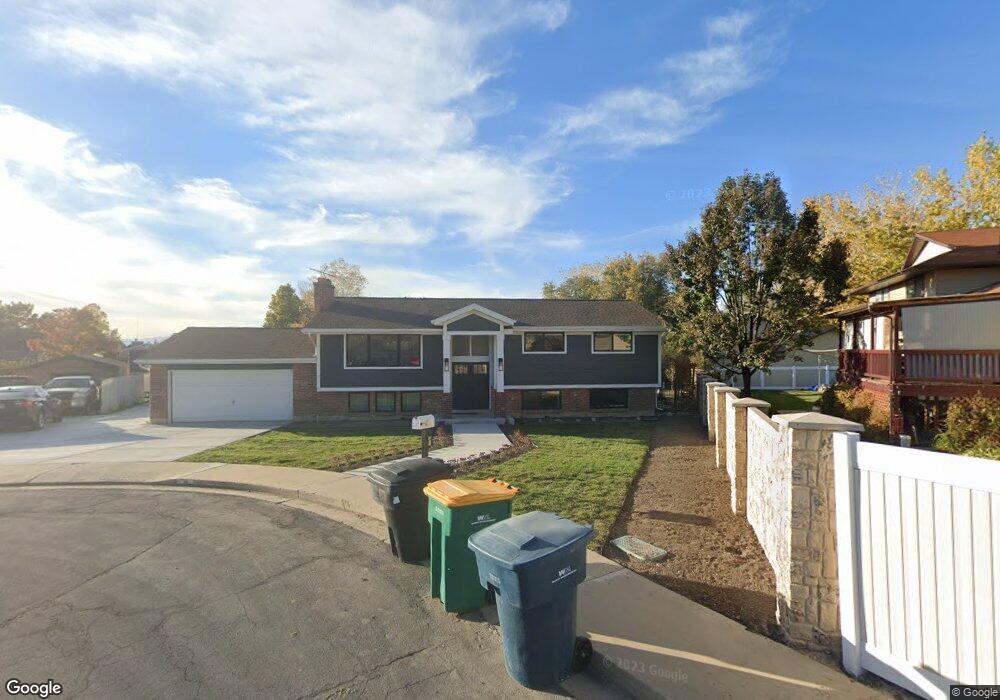
19 E 1775 N Orem, UT 84057
Northridge NeighborhoodEstimated Value: $618,000 - $631,425
5
Beds
3
Baths
3,080
Sq Ft
$203/Sq Ft
Est. Value
About This Home
This home is located at 19 E 1775 N, Orem, UT 84057 and is currently estimated at $625,475, approximately $203 per square foot. 19 E 1775 N is a home located in Utah County with nearby schools including Northridge Elementary School, Oak Canyon Junior High School, and Timpanogos High School.
Ownership History
Date
Name
Owned For
Owner Type
Purchase Details
Closed on
Aug 10, 2011
Sold by
Kramer Heidi and Kramer Richard J
Bought by
Roundy Eric and Roundy Lovina
Current Estimated Value
Home Financials for this Owner
Home Financials are based on the most recent Mortgage that was taken out on this home.
Original Mortgage
$181,600
Outstanding Balance
$14,879
Interest Rate
4.43%
Mortgage Type
New Conventional
Estimated Equity
$610,596
Purchase Details
Closed on
Mar 22, 1996
Sold by
Kramer Richard J and Kramer Heidi S
Bought by
Kramer Richard J and Kramer Heidi S
Create a Home Valuation Report for This Property
The Home Valuation Report is an in-depth analysis detailing your home's value as well as a comparison with similar homes in the area
Home Values in the Area
Average Home Value in this Area
Purchase History
| Date | Buyer | Sale Price | Title Company |
|---|---|---|---|
| Roundy Eric | -- | Eagle Pointe Title Insurance | |
| Kramer Heidi | -- | Eagle Pointe Title Insurance | |
| Kramer Richard J | -- | -- | |
| Kramer Heidi S | -- | -- |
Source: Public Records
Mortgage History
| Date | Status | Borrower | Loan Amount |
|---|---|---|---|
| Open | Roundy Eric | $181,600 |
Source: Public Records
Tax History
| Year | Tax Paid | Tax Assessment Tax Assessment Total Assessment is a certain percentage of the fair market value that is determined by local assessors to be the total taxable value of land and additions on the property. | Land | Improvement |
|---|---|---|---|---|
| 2025 | $2,546 | $335,060 | -- | -- |
| 2024 | $2,546 | $311,355 | $0 | $0 |
| 2023 | $2,380 | $312,730 | $0 | $0 |
| 2022 | $2,367 | $301,345 | $0 | $0 |
| 2021 | $2,096 | $404,300 | $164,000 | $240,300 |
| 2020 | $1,935 | $366,800 | $131,200 | $235,600 |
| 2019 | $1,808 | $356,400 | $131,200 | $225,200 |
| 2018 | $1,796 | $338,300 | $123,700 | $214,600 |
| 2017 | $1,640 | $165,440 | $0 | $0 |
| 2016 | $1,590 | $147,950 | $0 | $0 |
| 2015 | $1,668 | $146,740 | $0 | $0 |
| 2014 | $1,514 | $132,550 | $0 | $0 |
Source: Public Records
Map
Nearby Homes
- 49 W 1880 N
- 1638 N 160 E
- 1636 N 160 E
- 1744 N 280 W
- 1547 N 275 West St Unit 5
- 1566 N 275 West St Unit 1
- 1548 N 275 West St Unit 2
- 1916 N 430 W
- 363 E 1395 N Unit 22
- 14 N 850 E
- 1480 N 430 E
- 287 W 1380 N
- 332 W Amiron Way Unit D
- 1461 N Amiron Way Unit B
- 127 S 400 E
- 1371 N 330 E Unit 8
- 540 E Quail Rd
- 1545 N State St Unit 1
- 110 S 1320 E
- 120 N 950 E
Your Personal Tour Guide
Ask me questions while you tour the home.