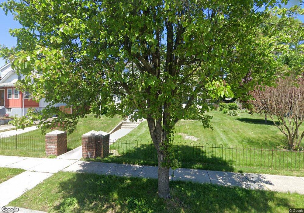
19 E Linwood Ave Maple Shade, NJ 08052
Estimated Value: $390,976 - $499,000
Studio
--
Bath
2,588
Sq Ft
$171/Sq Ft
Est. Value
About This Home
This home is located at 19 E Linwood Ave, Maple Shade, NJ 08052 and is currently estimated at $442,744, approximately $171 per square foot. 19 E Linwood Ave is a home located in Burlington County with nearby schools including Ralph J Steinhauer Elementary School, Maude M. Wilkins Elementary School, and Howard R Yocum School.
Ownership History
Date
Name
Owned For
Owner Type
Purchase Details
Closed on
Jul 8, 2011
Sold by
Armstrong Roberta G
Bought by
Armstrong Roberta G
Current Estimated Value
Home Financials for this Owner
Home Financials are based on the most recent Mortgage that was taken out on this home.
Original Mortgage
$360,000
Interest Rate
4.51%
Mortgage Type
Reverse Mortgage Home Equity Conversion Mortgage
Purchase Details
Closed on
Apr 16, 1996
Sold by
Axelrod Ruth and Armstrong Joseph
Bought by
Armstrong Joseph and Armstrong Roberta G
Create a Home Valuation Report for This Property
The Home Valuation Report is an in-depth analysis detailing your home's value as well as a comparison with similar homes in the area
Home Values in the Area
Average Home Value in this Area
Purchase History
| Date | Buyer | Sale Price | Title Company |
|---|---|---|---|
| Armstrong Roberta G | -- | None Available | |
| Armstrong Joseph | $35,000 | -- |
Source: Public Records
Mortgage History
| Date | Status | Borrower | Loan Amount |
|---|---|---|---|
| Closed | Armstrong Roberta G | $360,000 |
Source: Public Records
Tax History
| Year | Tax Paid | Tax Assessment Tax Assessment Total Assessment is a certain percentage of the fair market value that is determined by local assessors to be the total taxable value of land and additions on the property. | Land | Improvement |
|---|---|---|---|---|
| 2025 | $8,234 | $216,900 | $55,200 | $161,700 |
| 2024 | $7,995 | $216,900 | $55,200 | $161,700 |
| 2023 | $7,995 | $216,900 | $55,200 | $161,700 |
| 2022 | $7,871 | $216,900 | $55,200 | $161,700 |
| 2021 | $7,295 | $216,900 | $55,200 | $161,700 |
| 2020 | $7,817 | $216,900 | $55,200 | $161,700 |
| 2019 | $8,395 | $241,800 | $55,200 | $186,600 |
| 2018 | $8,250 | $241,800 | $55,200 | $186,600 |
| 2017 | $7,654 | $241,800 | $55,200 | $186,600 |
| 2016 | $7,783 | $241,800 | $55,200 | $186,600 |
| 2015 | $7,609 | $241,800 | $55,200 | $186,600 |
| 2014 | $7,119 | $241,800 | $55,200 | $186,600 |
Source: Public Records
Map
Nearby Homes
- 22 Theodore Ave
- 207 E Park Ave
- 400 N Forklanding Rd
- 411 A3 Stiles Ave Unit A-3
- 411 C12 Stiles Ave Unit C-12
- 411 A2 Stiles Ave Unit A-2
- 47 S Lippincott Ave
- 42 Spruce Ave
- 61 S Maple Ave
- 57 S Terrace Ave
- 712 E Woodlawn Ave
- 728 Haverford Ave
- 206 S Maple Ave
- 35 Farnsworth Ave
- 331 Collins Ln
- 27 Indian Queen Ln
- 115 S Walnut Ave
- 26 Morris Ave
- 15 S Pine Ave
- 44 S Pine Ave
- 15 E Linwood Ave
- 27 E Linwood Ave
- 11 E Linwood Ave
- 28 E Park Ave
- 32 E Park Ave
- 24 E Park Ave
- 20 Mecray Ln
- 40 E Park Ave
- 16 E Linwood Ave
- 123 N Forklanding Rd
- 203 N Forklanding Rd
- 207 N Forklanding Rd
- 18 E Linwood Ave
- 22 E Linwood Ave
- 16 Mecray Ln
- 211 N Forklanding Rd
- 119 N Forklanding Rd
- 26 E Linwood Ave
- 117 N Forklanding Rd
- 30 E Linwood Ave
Your Personal Tour Guide
Ask me questions while you tour the home.