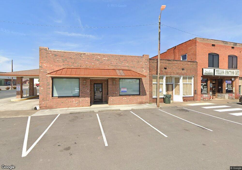
19 E Main St Englewood, TN 37329
--
Bed
1
Bath
2,508
Sq Ft
0.3
Acres
About This Home
This home is located at 19 E Main St, Englewood, TN 37329. 19 E Main St is a home located in McMinn County.
Ownership History
Date
Name
Owned For
Owner Type
Purchase Details
Closed on
Jun 28, 2024
Sold by
Precision Technologies Inc
Bought by
Lee John S and Lee Jonathan Edward
Purchase Details
Closed on
Sep 15, 2017
Bought by
Precision Technologies Inc
Home Financials for this Owner
Home Financials are based on the most recent Mortgage that was taken out on this home.
Original Mortgage
$244,900
Interest Rate
3.89%
Mortgage Type
New Conventional
Purchase Details
Closed on
Aug 16, 2002
Bought by
Peoples Bank Of Monroe Co
Purchase Details
Closed on
Mar 24, 1999
Sold by
Pyle William C
Bought by
Clark W G
Purchase Details
Closed on
Aug 18, 1995
Bought by
Pyle William C and Pyle Sandra F
Create a Home Valuation Report for This Property
The Home Valuation Report is an in-depth analysis detailing your home's value as well as a comparison with similar homes in the area
Home Values in the Area
Average Home Value in this Area
Purchase History
| Date | Buyer | Sale Price | Title Company |
|---|---|---|---|
| Lee John S | $247,500 | Reliance Title | |
| Precision Technologies Inc | $249,900 | -- | |
| Peoples Bank Of Monroe Co | $83,500 | -- | |
| Clark W G | $34,100 | -- | |
| Pyle William C | $75,000 | -- |
Source: Public Records
Mortgage History
| Date | Status | Borrower | Loan Amount |
|---|---|---|---|
| Previous Owner | Precision Technologies Inc | $244,900 |
Source: Public Records
Tax History Compared to Growth
Tax History
| Year | Tax Paid | Tax Assessment Tax Assessment Total Assessment is a certain percentage of the fair market value that is determined by local assessors to be the total taxable value of land and additions on the property. | Land | Improvement |
|---|---|---|---|---|
| 2025 | $1,191 | $63,280 | $0 | $0 |
| 2024 | $1,191 | $63,280 | $2,600 | $60,680 |
| 2023 | $1,191 | $63,280 | $2,600 | $60,680 |
| 2022 | $1,622 | $56,640 | $7,200 | $49,440 |
| 2021 | $1,622 | $56,640 | $7,200 | $49,440 |
| 2020 | $1,622 | $56,640 | $7,200 | $49,440 |
| 2019 | $1,622 | $56,640 | $7,200 | $49,440 |
| 2018 | $1,622 | $56,640 | $7,200 | $49,440 |
| 2017 | $1,583 | $51,800 | $7,320 | $44,480 |
| 2016 | $1,583 | $51,800 | $7,320 | $44,480 |
| 2015 | -- | $51,800 | $7,320 | $44,480 |
| 2014 | $1,583 | $51,798 | $0 | $0 |
Source: Public Records
Map
Nearby Homes
- 0 Highway 39e Unit 1311542
- 1982 Tennessee 39
- 309 Englewood Ave
- 110 Old Englewood Rd
- 118 Sunset Ave
- 0 Boyd St
- 111 Sunset Ave
- 121 N Niota Rd
- 413 Dodson Ave
- 302 Locust St
- 224 Pond St
- 302 N Amhurst Place
- 313 N Amhurst Place
- 0 S Amhurst Place Unit 1273764
- 25 Pangle St
- 520 Chestuee St
- 19 Mckinney St
- 504 N Niota Rd
- 3242 U S 411
- 423 Mccroskey St
- 17 E Main St
- 0 Hwy 39e Unit 20150898
- 0 Highway 39e Unit 20170988
- 0 Hwy 39e Unit 1311522
- 0 Hwy 39e Unit 1289356
- 1239 Tennessee 39
- 00 Tennessee 39
- 0 Hwy 39e Unit 747001
- 0 Hwy 39e Unit 914859
- 0 Highway 39e Unit 20196048
- Highway 39 Hwy 39 E
- 0 Tennessee 39
- 13 E Main St
- 0 Church St
- 15 E Main St
- 0 Cr 408
- Lot8 Harlan Daugherty Stree
- Trct 2 Highway 411
- Trct 1 Highway 411
- Trct 3 Highway 411